31571 733rd Ave South Haven, MN 55382
Estimated Value: $436,000 - $686,219
3
Beds
3
Baths
1,679
Sq Ft
$349/Sq Ft
Est. Value
About This Home
This home is located at 31571 733rd Ave, South Haven, MN 55382 and is currently estimated at $585,740, approximately $348 per square foot. 31571 733rd Ave is a home located in Meeker County with nearby schools including Lake Ripley Elementary School, Litchfield Middle School, and Litchfield Senior High School.
Ownership History
Date
Name
Owned For
Owner Type
Purchase Details
Closed on
Jan 16, 2020
Sold by
Atkinson Travis and Atkinson Traci
Bought by
Hunt David M and Hunt Kim Yvonne
Current Estimated Value
Purchase Details
Closed on
May 22, 2015
Sold by
Quast Diana and Schlangen Norene
Bought by
Hunt David M and Hunt Kim Y Shonyo
Home Financials for this Owner
Home Financials are based on the most recent Mortgage that was taken out on this home.
Original Mortgage
$72,400
Interest Rate
3.64%
Mortgage Type
New Conventional
Purchase Details
Closed on
Nov 29, 2006
Sold by
Salmela Jesse E and Salmela F/K/A Jaime S Schultz Jaime S
Bought by
Hunt David M
Home Financials for this Owner
Home Financials are based on the most recent Mortgage that was taken out on this home.
Original Mortgage
$79,000
Interest Rate
6.33%
Create a Home Valuation Report for This Property
The Home Valuation Report is an in-depth analysis detailing your home's value as well as a comparison with similar homes in the area
Home Values in the Area
Average Home Value in this Area
Purchase History
| Date | Buyer | Sale Price | Title Company |
|---|---|---|---|
| Hunt David M | $10,000 | Title Mark Llc | |
| Hunt David M | $69,500 | Attorney | |
| Hunt David M | -- | Edina Realty Title |
Source: Public Records
Mortgage History
| Date | Status | Borrower | Loan Amount |
|---|---|---|---|
| Previous Owner | Hunt David M | $72,400 | |
| Previous Owner | Hunt David M | $79,000 |
Source: Public Records
Tax History Compared to Growth
Tax History
| Year | Tax Paid | Tax Assessment Tax Assessment Total Assessment is a certain percentage of the fair market value that is determined by local assessors to be the total taxable value of land and additions on the property. | Land | Improvement |
|---|---|---|---|---|
| 2025 | $7,300 | $715,000 | $123,600 | $591,400 |
| 2024 | $7,300 | $676,000 | $102,500 | $573,500 |
| 2023 | $4,688 | $555,500 | $102,500 | $453,000 |
| 2022 | $4,038 | $427,100 | $73,100 | $354,000 |
| 2021 | $3,746 | $362,300 | $65,100 | $297,200 |
| 2020 | $3,678 | $335,400 | $65,100 | $270,300 |
| 2019 | $2,958 | $323,400 | $62,100 | $261,300 |
| 2018 | $2,808 | $311,000 | $62,100 | $248,900 |
| 2017 | $2,710 | $296,600 | $62,100 | $234,500 |
| 2016 | $2,762 | $272,800 | $60,100 | $212,700 |
| 2015 | $714 | $0 | $0 | $0 |
| 2014 | $714 | $0 | $0 | $0 |
Source: Public Records
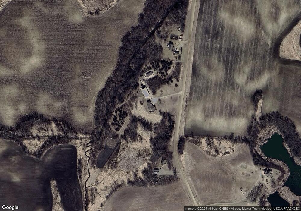
Map
Nearby Homes
- 72698 318th St
- 31033 724th Ave
- 30901 724th Ave
- 30945 724th Ave
- 74308 323rd St
- 33381 743rd Ave
- 4629 Reardon Ave NW
- 34823 Minnesota Highway 15
- 28059 742nd Ave
- 68624 Minnesota Highway 24
- 3665 Pleason Ave NW
- 27729 742nd Ave
- 5461 Quimby Ave NW
- 6032 Quinn Ave NW
- 6157 Quinn Ave NW
- 7327 Quinn Ave NW
- 6070 Pilger Ave NW
- 68157 340th St
- TBD-XXC Pilger Ave NW
- 26377 705th Ave