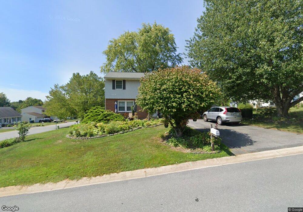
3159 Greenridge Dr Lancaster, PA 17601
Oyster Point NeighborhoodEstimated Value: $362,000 - $375,000
3
Beds
2
Baths
1,326
Sq Ft
$277/Sq Ft
Est. Value
About This Home
This home is located at 3159 Greenridge Dr, Lancaster, PA 17601 and is currently estimated at $367,618, approximately $277 per square foot. 3159 Greenridge Dr is a home located in Lancaster County with nearby schools including Landisville Primary Center, Landisville Middle School, and Hempfield High School.
Ownership History
Date
Name
Owned For
Owner Type
Purchase Details
Closed on
Feb 20, 2001
Sold by
Villalpando David J and Villalpando Cynthia
Bought by
Royer Dennis L and Royer Christine A
Current Estimated Value
Home Financials for this Owner
Home Financials are based on the most recent Mortgage that was taken out on this home.
Original Mortgage
$100,000
Outstanding Balance
$35,608
Interest Rate
6.89%
Estimated Equity
$332,010
Create a Home Valuation Report for This Property
The Home Valuation Report is an in-depth analysis detailing your home's value as well as a comparison with similar homes in the area
Home Values in the Area
Average Home Value in this Area
Purchase History
| Date | Buyer | Sale Price | Title Company |
|---|---|---|---|
| Royer Dennis L | $114,000 | -- |
Source: Public Records
Mortgage History
| Date | Status | Borrower | Loan Amount |
|---|---|---|---|
| Open | Royer Dennis L | $100,000 |
Source: Public Records
Tax History
| Year | Tax Paid | Tax Assessment Tax Assessment Total Assessment is a certain percentage of the fair market value that is determined by local assessors to be the total taxable value of land and additions on the property. | Land | Improvement |
|---|---|---|---|---|
| 2025 | $4,215 | $186,900 | $60,000 | $126,900 |
| 2024 | $4,215 | $186,900 | $60,000 | $126,900 |
| 2023 | $4,134 | $186,900 | $60,000 | $126,900 |
| 2022 | $4,025 | $186,900 | $60,000 | $126,900 |
| 2021 | $3,945 | $186,900 | $60,000 | $126,900 |
| 2020 | $3,945 | $186,900 | $60,000 | $126,900 |
| 2019 | $3,881 | $186,900 | $60,000 | $126,900 |
| 2018 | $815 | $186,900 | $60,000 | $126,900 |
| 2017 | $3,548 | $138,000 | $43,300 | $94,700 |
| 2016 | $3,477 | $138,000 | $43,300 | $94,700 |
| 2015 | $700 | $138,000 | $43,300 | $94,700 |
| 2014 | $2,561 | $138,000 | $43,300 | $94,700 |
Source: Public Records
Map
Nearby Homes
- 3059 Buckthorn Dr
- 3301 Marietta Ave
- 825 Robin Rd
- 900 Cardinal Rd
- 319 Druid Hill Rd
- 906 Snapper Dam Rd
- 86 Village Dr
- 3710 Little Mac Dr
- 3481 Coronet Ave
- 26 E Main St
- 204 Post Oak Rd
- 923 Jade Ave
- 2808 Spring Valley Rd
- 16 Cedar Chase Dr
- 3880 Nolt Rd
- 2842 Wimbledon Ln
- 2816 Mimosa Ln Unit 33
- 3242 Elmae Dr
- 1146 Hermosa Ave
- 250 Huntington Dr
- 3183 Greentree Dr
- 3157 Greenridge Dr
- 3184 Thistle Dr
- 3185 Greentree Dr
- 3160 Greenridge Dr
- 3165 Greenridge Dr
- 3158 Greenridge Dr
- 3162 Greenridge Dr
- 3186 Thistle Dr
- 3164 Greenridge Dr
- 3180 Thistle Dr
- 3187 Greentree Dr
- 3182 Greentree Dr
- 3188 Thistle Dr
- 3166 Greenridge Dr
- 3167 Greenridge Dr
- 3184 Greentree Dr
- 332 Barberry Dr
- 334 Barberry Dr
- 3181 Thistle Dr
Your Personal Tour Guide
Ask me questions while you tour the home.