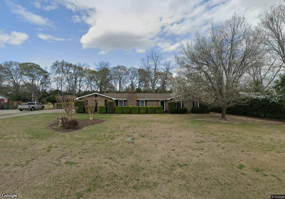
3159 Sandy Cir Macon, GA 31216
Estimated Value: $253,000 - $279,280
3
Beds
2
Baths
2,049
Sq Ft
$130/Sq Ft
Est. Value
About This Home
This home is located at 3159 Sandy Cir, Macon, GA 31216 and is currently estimated at $265,570, approximately $129 per square foot. 3159 Sandy Cir is a home located in Bibb County with nearby schools including Porter Elementary School, Rutland Middle School, and Rutland High School.
Ownership History
Date
Name
Owned For
Owner Type
Purchase Details
Closed on
Apr 8, 2005
Sold by
Frazier Brian C
Bought by
Osborn Nancy and Osborn David
Current Estimated Value
Home Financials for this Owner
Home Financials are based on the most recent Mortgage that was taken out on this home.
Original Mortgage
$117,150
Outstanding Balance
$59,506
Interest Rate
5.74%
Mortgage Type
New Conventional
Estimated Equity
$206,064
Purchase Details
Closed on
Sep 16, 2002
Create a Home Valuation Report for This Property
The Home Valuation Report is an in-depth analysis detailing your home's value as well as a comparison with similar homes in the area
Purchase History
| Date | Buyer | Sale Price | Title Company |
|---|---|---|---|
| Osborn Nancy | $146,495 | None Available | |
| -- | $129,000 | -- |
Source: Public Records
Mortgage History
| Date | Status | Borrower | Loan Amount |
|---|---|---|---|
| Open | Osborn Nancy | $117,150 |
Source: Public Records
Tax History
| Year | Tax Paid | Tax Assessment Tax Assessment Total Assessment is a certain percentage of the fair market value that is determined by local assessors to be the total taxable value of land and additions on the property. | Land | Improvement |
|---|---|---|---|---|
| 2025 | $2,388 | $104,188 | $11,500 | $92,688 |
| 2024 | $2,435 | $102,864 | $11,500 | $91,364 |
| 2023 | $1,299 | $76,151 | $10,000 | $66,151 |
| 2022 | $2,147 | $69,003 | $9,904 | $59,099 |
| 2021 | $2,356 | $69,003 | $9,904 | $59,099 |
| 2020 | $2,157 | $62,548 | $9,004 | $53,544 |
| 2019 | $2,120 | $61,148 | $9,004 | $52,144 |
| 2018 | $3,327 | $59,486 | $9,004 | $50,482 |
| 2017 | $1,966 | $59,486 | $9,004 | $50,482 |
| 2016 | $1,816 | $59,486 | $9,004 | $50,482 |
| 2015 | $2,571 | $59,486 | $9,004 | $50,482 |
| 2014 | $2,575 | $59,486 | $9,004 | $50,482 |
Source: Public Records
Map
Nearby Homes
- 308 Ellis Ct
- 3038 Debra Ann Dr
- 3533 Bridgewood Dr
- 6045 Cara Dr
- 3491 Sandy Cir
- 3285 Hartley Bridge Rd
- 2813 S Estates Rd
- 5608 Swymer Dr
- 109 Oakview Club Dr
- 2800 S Estates Rd
- 116 Fred Ct
- 3720 Dean Dr
- 3708 Jones Rd
- 350 Browning Pointe Rd
- 344 Browning Pointe Rd
- 3636 Bonanza Dr
- 5731 School Rd
- 201 Liberty Trace
- 3150 Holleman Dr
- 3129 Sandy Cir
- 3189 Sandy Cir
- 3160 Sandy Cir
- 3138 Whiteside Rd
- 3158 Whiteside Rd
- 3130 Sandy Cir
- 3209 Sandy Cir
- 3148 Whiteside Rd
- 3184 Sandy Cir
- 3091 Sandy Cir
- 3166 Whiteside Rd
- 3210 Sandy Cir
- 3126 Whiteside Rd
- 3170 Whiteside Rd
- 3225 Sandy Cir
- 3071 Sandy Cir
- 3088 Sandy Cir
- 3226 Sandy Cir
- 3100 Whiteside Rd
- 3153 Whiteside Rd
Your Personal Tour Guide
Ask me questions while you tour the home.