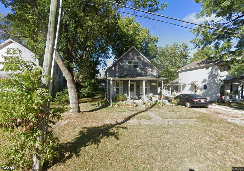
316 4th St Osawatomie, KS 66064
Estimated Value: $136,000 - $158,000
3
Beds
1
Bath
1,218
Sq Ft
$121/Sq Ft
Est. Value
About This Home
This home is located at 316 4th St, Osawatomie, KS 66064 and is currently estimated at $147,266, approximately $120 per square foot. 316 4th St is a home located in Miami County with nearby schools including Swenson Early Childhood Education Center, Trojan Elementary School, and Osawatomie Middle School.
Ownership History
Date
Name
Owned For
Owner Type
Purchase Details
Closed on
Sep 15, 2021
Sold by
Raley Bonnie F
Bought by
Raley Bonnie F and Raley Trust
Current Estimated Value
Purchase Details
Closed on
Feb 18, 2005
Sold by
Cimarron Properties Inc
Bought by
Medlin Robbin A
Home Financials for this Owner
Home Financials are based on the most recent Mortgage that was taken out on this home.
Original Mortgage
$69,200
Interest Rate
5.71%
Mortgage Type
Unknown
Create a Home Valuation Report for This Property
The Home Valuation Report is an in-depth analysis detailing your home's value as well as a comparison with similar homes in the area
Home Values in the Area
Average Home Value in this Area
Purchase History
| Date | Buyer | Sale Price | Title Company |
|---|---|---|---|
| Raley Bonnie F | -- | None Available | |
| Medlin Robbin A | -- | None Available |
Source: Public Records
Mortgage History
| Date | Status | Borrower | Loan Amount |
|---|---|---|---|
| Previous Owner | Medlin Robbin A | $69,200 |
Source: Public Records
Tax History Compared to Growth
Tax History
| Year | Tax Paid | Tax Assessment Tax Assessment Total Assessment is a certain percentage of the fair market value that is determined by local assessors to be the total taxable value of land and additions on the property. | Land | Improvement |
|---|---|---|---|---|
| 2025 | $2,823 | $15,433 | $811 | $14,622 |
| 2024 | $2,713 | $14,876 | $721 | $14,155 |
| 2023 | $2,701 | $14,340 | $675 | $13,665 |
| 2022 | $2,155 | $10,857 | $863 | $9,994 |
| 2021 | $1,952 | $0 | $0 | $0 |
| 2020 | $1,631 | $0 | $0 | $0 |
| 2019 | $1,330 | $0 | $0 | $0 |
| 2018 | $1,313 | $0 | $0 | $0 |
| 2017 | $1,281 | $0 | $0 | $0 |
| 2016 | -- | $0 | $0 | $0 |
| 2015 | -- | $0 | $0 | $0 |
| 2014 | -- | $0 | $0 | $0 |
| 2013 | -- | $0 | $0 | $0 |
Source: Public Records
Map
Nearby Homes
- 300 Brown Ave
- 507 Brown Ave
- 217 Brown Ave
- 304 Pacific Ave
- 144 Pacific Ave
- 700 Parker Ave
- 500 Chestnut St
- 720 Brown St
- 818 3rd St
- 140 Matney Dr
- 736 Brown Ave
- 711 Pacific Ave
- 726 Pacific Ave
- 124 E Pacific Ave
- 721 Pacific Ave
- 227 E Mill St
- 137 E Pacific Ave
- 149 E Pacific Ave
- 100 9th St
- 716 Chestnut Ave