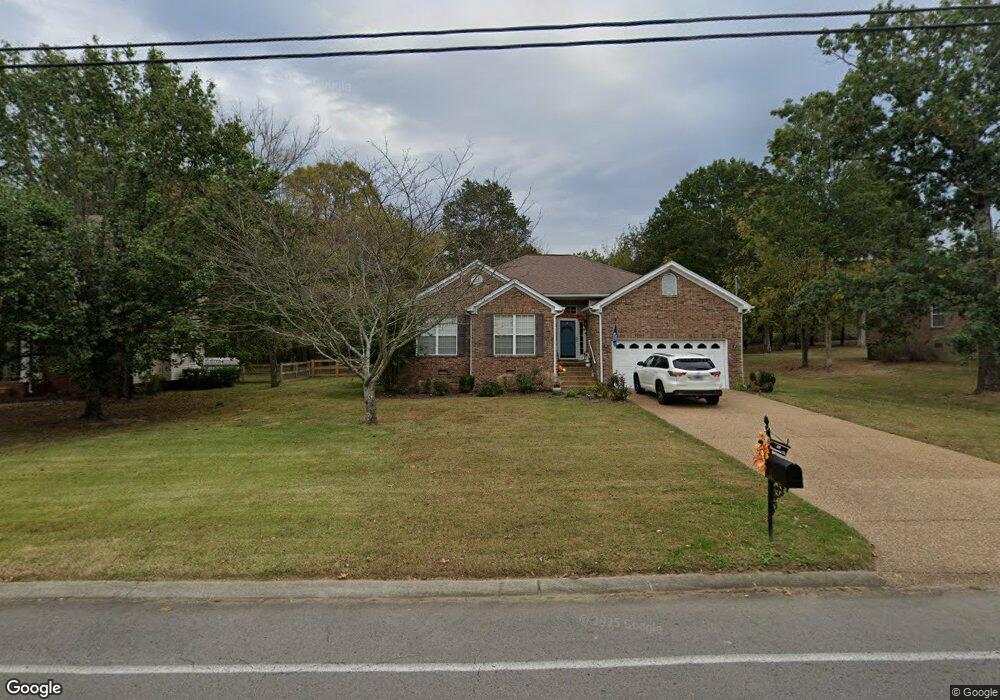
316 Baronswood Dr Nolensville, TN 37135
Estimated Value: $524,000 - $713,000
3
Beds
2
Baths
1,611
Sq Ft
$368/Sq Ft
Est. Value
About This Home
This home is located at 316 Baronswood Dr, Nolensville, TN 37135 and is currently estimated at $592,265, approximately $367 per square foot. 316 Baronswood Dr is a home located in Williamson County with nearby schools including Nolensville Elementary School, Mill Creek Middle School, and Nolensville High School.
Ownership History
Date
Name
Owned For
Owner Type
Purchase Details
Closed on
May 17, 2022
Sold by
Annie Ruth Tucker Living Trust
Bought by
Street Katie Ann
Current Estimated Value
Purchase Details
Closed on
Oct 5, 2016
Sold by
Tucker Annie Ruth
Bought by
Tucker Annie Ruth and The Annie Ruth Tucker Living Trust
Purchase Details
Closed on
May 3, 2004
Sold by
Jpmorgan Chase Bank
Bought by
Tucker Annie Ruth
Purchase Details
Closed on
Feb 18, 2004
Sold by
Bullock Mary Ann
Bought by
Jpmorgan Chase Bank and Credit Based Asset Servicing & Securitiz
Purchase Details
Closed on
May 26, 1999
Sold by
Bullock George L
Bought by
Bullock Mary Ann
Purchase Details
Closed on
May 29, 1998
Sold by
Fox Ridge Homes Inc
Bought by
Bullock George L
Home Financials for this Owner
Home Financials are based on the most recent Mortgage that was taken out on this home.
Original Mortgage
$87,000
Interest Rate
7.11%
Create a Home Valuation Report for This Property
The Home Valuation Report is an in-depth analysis detailing your home's value as well as a comparison with similar homes in the area
Home Values in the Area
Average Home Value in this Area
Purchase History
| Date | Buyer | Sale Price | Title Company |
|---|---|---|---|
| Street Katie Ann | $515,000 | Bell & Alexander Title Service | |
| Tucker Annie Ruth | -- | None Available | |
| Tucker Annie Ruth | $172,000 | Associates Closing & Title H | |
| Jpmorgan Chase Bank | $161,466 | -- | |
| Bullock Mary Ann | -- | -- | |
| Bullock George L | $157,650 | -- |
Source: Public Records
Mortgage History
| Date | Status | Borrower | Loan Amount |
|---|---|---|---|
| Previous Owner | Bullock George L | $87,000 |
Source: Public Records
Tax History Compared to Growth
Tax History
| Year | Tax Paid | Tax Assessment Tax Assessment Total Assessment is a certain percentage of the fair market value that is determined by local assessors to be the total taxable value of land and additions on the property. | Land | Improvement |
|---|---|---|---|---|
| 2025 | $1,751 | $142,825 | $46,250 | $96,575 |
| 2024 | $1,751 | $80,675 | $18,750 | $61,925 |
| 2023 | $1,751 | $80,675 | $18,750 | $61,925 |
| 2022 | $1,751 | $80,675 | $18,750 | $61,925 |
| 2021 | $1,378 | $80,675 | $18,750 | $61,925 |
| 2020 | $1,323 | $61,700 | $15,000 | $46,700 |
| 2019 | $1,237 | $61,700 | $15,000 | $46,700 |
| 2018 | $1,237 | $61,700 | $15,000 | $46,700 |
| 2017 | $1,237 | $61,700 | $15,000 | $46,700 |
| 2016 | $1,237 | $61,700 | $15,000 | $46,700 |
| 2015 | -- | $50,600 | $12,500 | $38,100 |
| 2014 | -- | $50,600 | $12,500 | $38,100 |
Source: Public Records
Map
Nearby Homes
- 373 Baronswood Dr
- 625 Mer Rouge Dr
- Ansley Plan at The Mill at McFarlin - Estates Series
- Kingston Plan at The Mill at McFarlin - Estates Series
- Weston Plan at The Mill at McFarlin - Estates Series
- Buchanan Plan at The Mill at McFarlin - Estates Series
- 825 Piccadilly Dr
- 1115 Oak Creek Dr
- 2207 Potter Place
- 2248 Rolling Hills Dr
- 607 Quarter Horse Ln
- 2211 Potter Place
- 1228 Countryside Rd
- 4137 Brendlyn Dr
- 2222 Potter Place
- 2215 Potter Place
- 4133 Brendlyn Dr
- 2219 Potter Place
- 2223 Potter Place
- 3009 Winterberry Dr
- 320 Baronswood Dr
- 324 Baronswood Dr
- 308 Baronswood Dr
- 317 Baronswood Dr
- 321 Baronswood Dr
- 313 Baronswood Dr
- 328 Baronswood Dr
- 304 Baronswood Dr
- 325 Baronswood Dr
- 309 Baronswood Dr
- 329 Baronswood Dr
- 305 Baronswood Dr
- 332 Baronswood Dr
- 305 Norfolk Ct
- 231 Norfolk Ln
- 333 Baronswood Dr
- 309 Norfolk Ct
- 301 Norfolk Ct
- 229 Norfolk Ln
- 336 Baronswood Dr