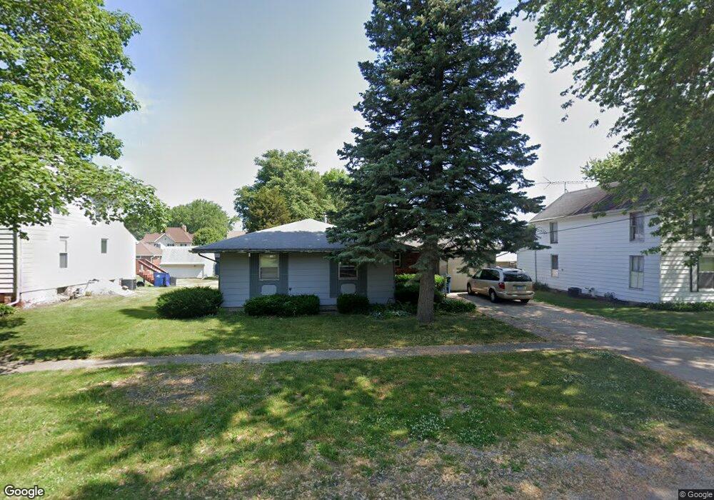
316 E Walnut St Sheffield, IL 61361
Estimated Value: $64,045 - $117,000
Studio
--
Bath
--
Sq Ft
9,583
Sq Ft Lot
About This Home
This home is located at 316 E Walnut St, Sheffield, IL 61361 and is currently estimated at $94,011. 316 E Walnut St is a home located in Bureau County with nearby schools including Bureau Valley Wyanet Elementary School and Bureau Valley High School.
Ownership History
Date
Name
Owned For
Owner Type
Purchase Details
Closed on
Jun 3, 2022
Sold by
Bryner and Dawn
Bought by
Ehnle Ryan J
Current Estimated Value
Home Financials for this Owner
Home Financials are based on the most recent Mortgage that was taken out on this home.
Original Mortgage
$60,000
Outstanding Balance
$55,769
Interest Rate
5.09%
Mortgage Type
New Conventional
Estimated Equity
$38,242
Purchase Details
Closed on
May 22, 2015
Sold by
Clark Annette and Dedecker Allen
Bought by
Bryner Brad and Bryner Dawn
Create a Home Valuation Report for This Property
The Home Valuation Report is an in-depth analysis detailing your home's value as well as a comparison with similar homes in the area
Purchase History
| Date | Buyer | Sale Price | Title Company |
|---|---|---|---|
| Ehnle Ryan J | $56,000 | Barash & Everett Llc | |
| Bryner Brad | $29,500 | None Available |
Source: Public Records
Mortgage History
| Date | Status | Borrower | Loan Amount |
|---|---|---|---|
| Open | Ehnle Ryan J | $60,000 |
Source: Public Records
Tax History
| Year | Tax Paid | Tax Assessment Tax Assessment Total Assessment is a certain percentage of the fair market value that is determined by local assessors to be the total taxable value of land and additions on the property. | Land | Improvement |
|---|---|---|---|---|
| 2024 | $1,308 | $20,863 | $2,166 | $18,697 |
| 2023 | $1,308 | $19,435 | $2,018 | $17,417 |
| 2022 | $1,787 | $18,060 | $1,875 | $16,185 |
| 2021 | $1,174 | $11,714 | $1,730 | $9,984 |
| 2020 | $1,173 | $11,559 | $1,707 | $9,852 |
| 2019 | $1,159 | $11,343 | $1,675 | $9,668 |
| 2018 | $1,049 | $10,781 | $1,592 | $9,189 |
| 2017 | $979 | $10,538 | $1,556 | $8,982 |
| 2016 | $1,036 | $10,204 | $1,507 | $8,697 |
| 2015 | -- | $8,381 | $0 | $8,381 |
| 2014 | -- | $31,630 | $1,452 | $30,178 |
| 2013 | -- | $32,408 | $1,488 | $30,920 |
Source: Public Records
Map
Nearby Homes
- 340 S Main St
- 216 S Main St
- 304 S Church St
- 204 E South St
- 302 W Cook St
- 136 N Washington St
- 210 W South St
- 515 S Park St
- 319 N 4th St
- 375 E County Rd Unit 21
- 227 E 2nd St
- 0 County Road 00 E
- 0000 North Ave
- 17580 1200 St E
- 7610 700 East St
- 13166 1200 N
- 510 Greencastle Dr
- 21882 410 East St
- 220 E 2nd St
- 301 S Maple St
- 332 E Walnut St
- 314 E Walnut St
- 338 S Adams St
- 340 E Walnut St
- 331 E Walnut St
- 333 E Walnut St
- 325 E Cook St
- 301 E Walnut St
- 305 S Mason St
- 238 E Walnut St
- 404 E Walnut St
- 319 E Cook St
- 405 S Adams St
- 408 S Mason St
- 303 E Cook St
- 314 S Mason St
- 226 E Walnut St
- 237 E Cook St
- 229 E Walnut St
- 306 S Mason St
Your Personal Tour Guide
Ask me questions while you tour the home.