316 Heaths Bridge Rd Concord, MA 01742
Estimated Value: $2,374,000 - $3,142,000
6
Beds
7
Baths
6,853
Sq Ft
$406/Sq Ft
Est. Value
About This Home
This home is located at 316 Heaths Bridge Rd, Concord, MA 01742 and is currently estimated at $2,781,338, approximately $405 per square foot. 316 Heaths Bridge Rd is a home located in Middlesex County with nearby schools including Willard School, Concord Middle School, and Concord Carlisle High School.
Ownership History
Date
Name
Owned For
Owner Type
Purchase Details
Closed on
Apr 10, 2013
Sold by
Powell Barbara A
Bought by
Mcilwain Ft
Current Estimated Value
Home Financials for this Owner
Home Financials are based on the most recent Mortgage that was taken out on this home.
Original Mortgage
$400,000
Outstanding Balance
$283,366
Interest Rate
3.55%
Mortgage Type
New Conventional
Estimated Equity
$2,497,972
Create a Home Valuation Report for This Property
The Home Valuation Report is an in-depth analysis detailing your home's value as well as a comparison with similar homes in the area
Home Values in the Area
Average Home Value in this Area
Purchase History
| Date | Buyer | Sale Price | Title Company |
|---|---|---|---|
| Mcilwain Ft | $667,850 | -- |
Source: Public Records
Mortgage History
| Date | Status | Borrower | Loan Amount |
|---|---|---|---|
| Open | Mcilwain Ft | $400,000 |
Source: Public Records
Tax History
| Year | Tax Paid | Tax Assessment Tax Assessment Total Assessment is a certain percentage of the fair market value that is determined by local assessors to be the total taxable value of land and additions on the property. | Land | Improvement |
|---|---|---|---|---|
| 2025 | $39,201 | $2,956,300 | $637,600 | $2,318,700 |
| 2024 | $38,516 | $2,933,400 | $637,600 | $2,295,800 |
| 2023 | $31,572 | $2,436,100 | $599,600 | $1,836,500 |
| 2022 | $31,805 | $2,154,800 | $479,600 | $1,675,200 |
| 2021 | $30,272 | $2,056,500 | $410,300 | $1,646,200 |
| 2020 | $30,148 | $2,118,600 | $410,300 | $1,708,300 |
| 2019 | $28,918 | $2,037,900 | $398,500 | $1,639,400 |
| 2018 | $28,823 | $2,017,000 | $399,200 | $1,617,800 |
| 2017 | $27,359 | $1,944,500 | $380,100 | $1,564,400 |
| 2016 | $27,623 | $1,984,400 | $380,100 | $1,604,300 |
| 2015 | $26,095 | $1,826,100 | $352,000 | $1,474,100 |
Source: Public Records
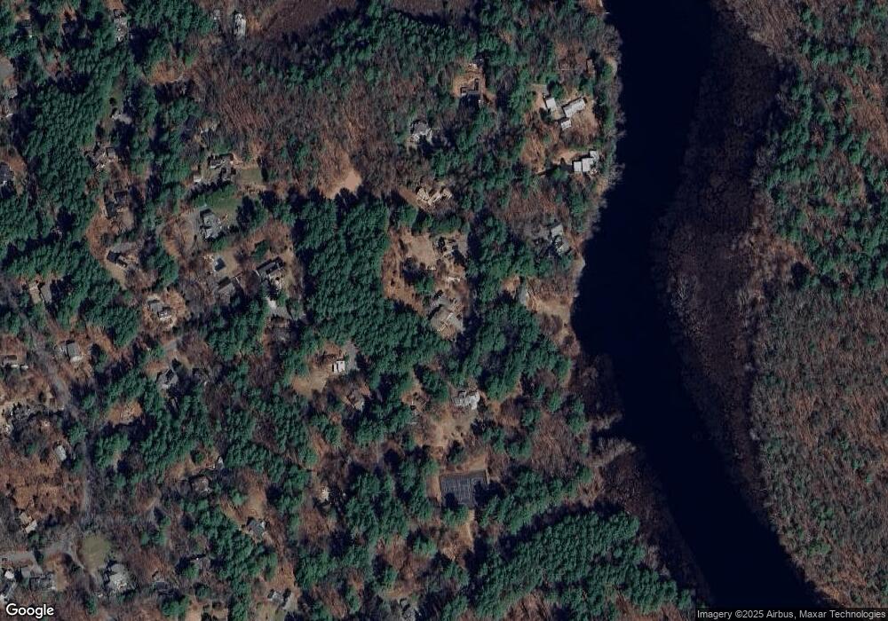
Map
Nearby Homes
- 29 King Ln
- 850 Old Road to 9 Acre Corner
- 25 Fairhaven Rd
- 497 Old Road to 9 Acre Corner
- 236 Fairhaven Rd
- 89 Mattison Dr
- 32 Bolton St
- 367 Powder Mill Rd
- 56 Seymour St
- 132 Williams Rd
- 40 Rookery Ln Unit 5
- 72 Rookery Ln Unit 3
- 56 Rookery Ln Unit 4
- 381 Thoreau St
- 61B Walden St
- 165 Everett St
- 117 Cold Brook Dr Unit 7
- 108 Hawks Perch Unit 108
- 143 Everett St
- 141 Chestnut Cir Unit 141
- 329 Heaths Bridge Rd
- 298 Heaths Bridge Rd
- 296 Heaths Bridge Rd
- 313 Heaths Bridge Rd
- 339 Heaths Bridge Rd
- 284 Heaths Bridge Rd
- 265 The Valley Rd
- 245 The Valley Rd
- 355 Heaths Bridge Rd
- 297 Heaths Bridge Rd
- 289 The Valley Rd
- 294 The Valley Rd
- 215 The Valley Rd
- 343 Holden Wood Rd
- 250 Heaths Bridge Rd
- 261 Heaths Bridge Rd
- 325 The Valley Rd
- 243 Heaths Bridge Rd
- 319 Holden Wood Rd
- 264 Heath's Bridge Rd
Your Personal Tour Guide
Ask me questions while you tour the home.