316 Route 103a New London, NH 03257
Estimated Value: $5,894,000 - $6,789,198
4
Beds
4
Baths
5,555
Sq Ft
$1,159/Sq Ft
Est. Value
About This Home
This home is located at 316 Route 103a, New London, NH 03257 and is currently estimated at $6,440,399, approximately $1,159 per square foot. 316 Route 103a is a home with nearby schools including Kearsarge Elementary School - New London, Kearsarge Regional Middle School, and Kearsarge Regional High School.
Ownership History
Date
Name
Owned For
Owner Type
Purchase Details
Closed on
Jun 12, 2024
Sold by
Herrick Cove Partners
Bought by
Carriage House Ft and Kalin
Current Estimated Value
Purchase Details
Closed on
Feb 2, 2010
Sold by
Herrick Cove Partners
Bought by
Frieze Kenneth S
Create a Home Valuation Report for This Property
The Home Valuation Report is an in-depth analysis detailing your home's value as well as a comparison with similar homes in the area
Home Values in the Area
Average Home Value in this Area
Purchase History
| Date | Buyer | Sale Price | Title Company |
|---|---|---|---|
| Carriage House Ft | $6,795,000 | None Available | |
| Carriage House Ft | $6,795,000 | None Available | |
| Frieze Kenneth S | $23,400 | -- |
Source: Public Records
Tax History Compared to Growth
Tax History
| Year | Tax Paid | Tax Assessment Tax Assessment Total Assessment is a certain percentage of the fair market value that is determined by local assessors to be the total taxable value of land and additions on the property. | Land | Improvement |
|---|---|---|---|---|
| 2024 | $53,874 | $4,640,300 | $3,542,100 | $1,098,200 |
| 2023 | $50,162 | $4,640,300 | $3,542,100 | $1,098,200 |
| 2022 | $53,202 | $3,354,500 | $2,532,000 | $822,500 |
| 2021 | $51,626 | $3,354,500 | $2,532,000 | $822,500 |
| 2020 | $50,116 | $3,354,500 | $2,532,000 | $822,500 |
| 2019 | $49,345 | $3,354,500 | $2,532,000 | $822,500 |
| 2018 | $25,928 | $2,990,100 | $2,294,100 | $696,000 |
| 2017 | $26,423 | $2,990,100 | $2,294,100 | $696,000 |
| 2016 | $25,862 | $2,990,100 | $2,294,100 | $696,000 |
| 2015 | $46,378 | $3,001,800 | $2,294,100 | $707,700 |
| 2014 | $45,958 | $3,001,800 | $2,294,100 | $707,700 |
| 2013 | $40,951 | $2,721,000 | $1,987,200 | $733,800 |
Source: Public Records
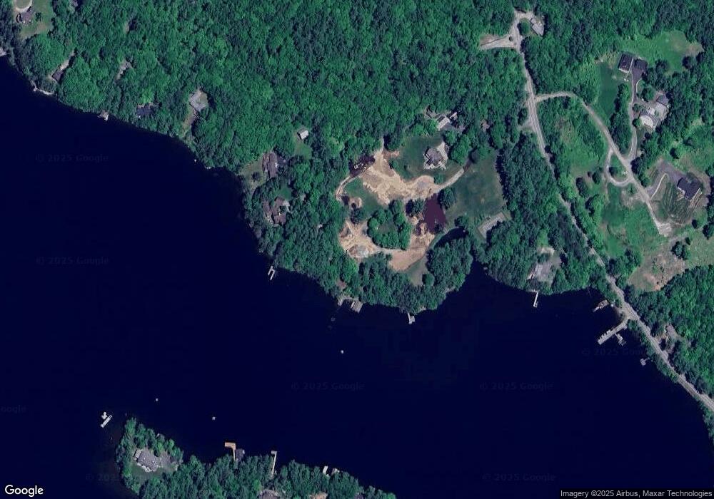
Map
Nearby Homes
- 617 & 619 Route 103a Map 91 Lot 37 38
- 26 Otterville Rd
- 000 Farwell Ln Unit 17
- 195 Pine Hill Rd
- 106-23 Fieldstone Ln
- 10 Highland Ridge Rd
- 273 Forest Acres Rd
- 1024 Lake
- 770 Jobs Creek Rd
- 435 Messer Hill Rd
- 0 Little Lake Sunapee Rd Unit 40 4989636
- 1279 Route 11
- 0 Newport Rd Unit 10
- 0 Prospect Hill Rd
- 71 Hilltop Place
- Lot 39 Sunny Ln
- 253 Lake Ave
- 8 Stoney Brook Rd
- 57 Sunny Ln
- 14 Lake Ave Unit 1
- 314 Route 103a
- 45 Pilothouse Rd
- 378 New Hampshire 103a
- 378 Route 103a
- 99 Pilothouse Rd
- 1 Pilothouse Rd
- Lodge Lot 1 Unit 1
- 391 Route 103a
- 1 Lodge Ln
- - Pilothouse Rd
- 212 Poor Rd
- 125 Pilothouse Rd
- 224 Poor Rd
- 275 Route 103a
- 242 Poor Rd
- 64 Lodge Ln
- 413 Route 103a
- 72 Lodge Ln
- 0 Route 103a Unit 4714907
- 0 Route 103a Unit 4 4696865