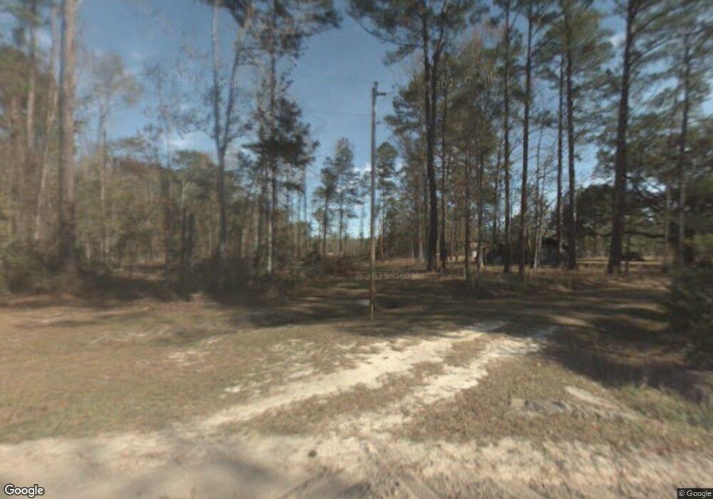
316 Sherrod Rd Brooklet, GA 30415
Estimated Value: $143,863 - $425,000
4
Beds
1
Bath
1,436
Sq Ft
$182/Sq Ft
Est. Value
About This Home
This home is located at 316 Sherrod Rd, Brooklet, GA 30415 and is currently estimated at $260,966, approximately $181 per square foot. 316 Sherrod Rd is a home located in Bulloch County with nearby schools including Stilson Elementary School, Southeast Bulloch High School, and Southeast Bulloch Middle School.
Ownership History
Date
Name
Owned For
Owner Type
Purchase Details
Closed on
Sep 20, 2016
Sold by
Sherrod Barry P
Bought by
Sherrod Connie L
Current Estimated Value
Purchase Details
Closed on
Sep 14, 2016
Sold by
Sherrod Barry P
Bought by
Sherrod Danny C and Sherrod Turner David Ricky
Purchase Details
Closed on
May 26, 2015
Sold by
Sherrod Danny C
Bought by
Sherrod Barry P
Purchase Details
Closed on
May 29, 2013
Sold by
Sherrod Michael L
Bought by
Sherrod Barry P
Purchase Details
Closed on
Sep 18, 2007
Sold by
Not Provided
Bought by
Sherrod Michael L
Purchase Details
Closed on
Oct 1, 1983
Bought by
Sherrod B E
Create a Home Valuation Report for This Property
The Home Valuation Report is an in-depth analysis detailing your home's value as well as a comparison with similar homes in the area
Home Values in the Area
Average Home Value in this Area
Purchase History
| Date | Buyer | Sale Price | Title Company |
|---|---|---|---|
| Sherrod Connie L | -- | -- | |
| Sherrod Danny C | -- | -- | |
| Sherrod Barry P | -- | -- | |
| Sherrod Danny C | -- | -- | |
| Sherrod Barry P | -- | -- | |
| Sherrod Michael L | -- | -- | |
| Sherrod B E | -- | -- |
Source: Public Records
Tax History Compared to Growth
Tax History
| Year | Tax Paid | Tax Assessment Tax Assessment Total Assessment is a certain percentage of the fair market value that is determined by local assessors to be the total taxable value of land and additions on the property. | Land | Improvement |
|---|---|---|---|---|
| 2024 | $680 | $30,520 | $7,000 | $23,520 |
| 2023 | $629 | $25,840 | $4,560 | $21,280 |
| 2022 | $471 | $21,825 | $3,825 | $18,000 |
| 2021 | $423 | $19,089 | $3,825 | $15,264 |
| 2020 | $400 | $17,588 | $3,188 | $14,400 |
| 2019 | $398 | $17,444 | $3,188 | $14,256 |
| 2018 | $412 | $16,480 | $2,656 | $13,824 |
| 2017 | $400 | $15,760 | $2,656 | $13,104 |
| 2016 | $396 | $15,184 | $2,656 | $12,528 |
| 2015 | $477 | $14,792 | $2,656 | $12,136 |
| 2014 | -- | $18,690 | $5,939 | $12,751 |
Source: Public Records
Map
Nearby Homes
- 552 Sherrod Rd
- 408 Quarter Hole Ct
- 317 Warrenton Place
- 0 Old River Rd S Unit 17387399
- 0 Old River Rd S Unit 17402901
- 548 Sand Hill Rd
- 120 Bluff Oak Dr
- 787 Woodyard Rd
- 0 Highway 67 Unit 20148625
- 2420 Hickory Bluff Rd
- 53 Jericho Ln
- 2335 Railroad Bed Rd
- 0 Shearouse Landing Unit LOT 1
- 0 Shearouse Landing Unit LOT 5
- 0 Shearouse Landing Unit LOT 3
- 0 Shearouse Landing Unit LOT 2
- 165 Shearouse Landing Rd
- 200 George Dr
- 231 & 233 Firefly Ln
- 236 & 238 Firefly Ln
- 228 Sherrod Rd
- 486 Sherrod Rd
- 513 Sherrod Rd
- 521 Sherrod Rd
- 0 Sherrod Rd Unit 20125587
- 14585 Ga Highway 119
- 0 Hwy 119 Unit 53158
- 0 Hwy 119 Unit 67852
- 0 Hwy 119 Unit 78397
- 0 Hwy 119 Unit 78401
- 0 Hwy 119 Unit 78396
- 0 Hwy 119 Unit 112498
- 0 Hwy 119 Unit 116541
- 0 Hwy 119 Unit 125418
- 0 Hwy 119 Unit 138389
- 0 Hwy 119 Unit 146951
- 0 Hwy 119 Unit 154711
- 0 Hwy 119 Unit 154913
- 0 Hwy 119 Unit 184713
- 0 Hwy 119 Unit 7168232
