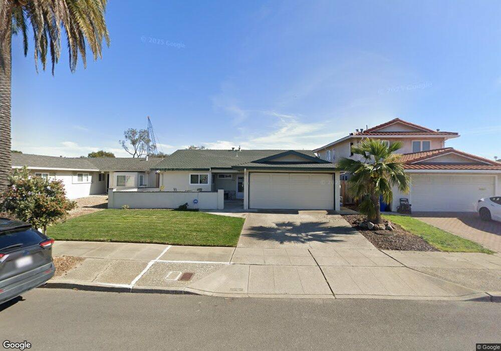
316 Sunset Rd Unit 2 Alameda, CA 94501
South Shore NeighborhoodEstimated Value: $1,140,762 - $1,531,000
3
Beds
2
Baths
1,481
Sq Ft
$875/Sq Ft
Est. Value
About This Home
This home is located at 316 Sunset Rd Unit 2, Alameda, CA 94501 and is currently estimated at $1,295,941, approximately $875 per square foot. 316 Sunset Rd Unit 2 is a home located in Alameda County with nearby schools including William G. Paden Elementary School, Will C. Wood Middle School, and Encinal Junior/Senior High.
Ownership History
Date
Name
Owned For
Owner Type
Purchase Details
Closed on
May 24, 2012
Sold by
Anderson Jeffrey C
Bought by
Anderson Jeffrey C and Anderson Sylvia
Current Estimated Value
Home Financials for this Owner
Home Financials are based on the most recent Mortgage that was taken out on this home.
Original Mortgage
$320,000
Outstanding Balance
$221,295
Interest Rate
3.86%
Mortgage Type
New Conventional
Estimated Equity
$1,074,646
Purchase Details
Closed on
Jul 1, 2011
Sold by
Lavallee Ronald W and Lavallee La Vallee
Bought by
Anderson Jeffrey C
Home Financials for this Owner
Home Financials are based on the most recent Mortgage that was taken out on this home.
Original Mortgage
$292,000
Interest Rate
4.54%
Mortgage Type
New Conventional
Purchase Details
Closed on
Jul 9, 1998
Sold by
Pescio John
Bought by
Lavallee Ronald W and Lavallee Rebecca L
Home Financials for this Owner
Home Financials are based on the most recent Mortgage that was taken out on this home.
Original Mortgage
$217,600
Interest Rate
7%
Purchase Details
Closed on
May 27, 1997
Sold by
Pescio Eugene B Living Trust and John
Bought by
Pescio John
Purchase Details
Closed on
Apr 10, 1995
Sold by
Pescio Eugene B
Bought by
Pescio Eugene B
Create a Home Valuation Report for This Property
The Home Valuation Report is an in-depth analysis detailing your home's value as well as a comparison with similar homes in the area
Home Values in the Area
Average Home Value in this Area
Purchase History
| Date | Buyer | Sale Price | Title Company |
|---|---|---|---|
| Anderson Jeffrey C | -- | Old Republic Title Company | |
| Anderson Jeffrey C | $532,000 | Fidelity National Title Co | |
| Anderson Jeffrey C | -- | Fidelity National Title Co | |
| Lavallee Ronald W | $272,000 | First American Title Guarant | |
| Pescio John | -- | First American Title Guarant | |
| Pescio John | -- | -- | |
| Pescio Eugene B | -- | -- |
Source: Public Records
Mortgage History
| Date | Status | Borrower | Loan Amount |
|---|---|---|---|
| Open | Anderson Jeffrey C | $320,000 | |
| Closed | Anderson Jeffrey C | $292,000 | |
| Previous Owner | Lavallee Ronald W | $217,600 |
Source: Public Records
Tax History
| Year | Tax Paid | Tax Assessment Tax Assessment Total Assessment is a certain percentage of the fair market value that is determined by local assessors to be the total taxable value of land and additions on the property. | Land | Improvement |
|---|---|---|---|---|
| 2025 | $9,915 | $661,186 | $200,456 | $467,730 |
| 2024 | $9,915 | $648,088 | $196,526 | $458,562 |
| 2023 | $9,543 | $642,245 | $192,673 | $449,572 |
| 2022 | $9,332 | $622,653 | $188,896 | $440,757 |
| 2021 | $9,105 | $610,311 | $185,193 | $432,118 |
| 2020 | $8,995 | $610,985 | $183,295 | $427,690 |
| 2019 | $8,488 | $599,010 | $179,703 | $419,307 |
| 2018 | $8,277 | $587,268 | $176,180 | $411,088 |
| 2017 | $7,902 | $575,756 | $172,727 | $403,029 |
| 2016 | $7,909 | $564,467 | $169,340 | $395,127 |
| 2015 | $7,882 | $555,992 | $166,797 | $389,195 |
| 2014 | $7,527 | $545,102 | $163,530 | $381,572 |
Source: Public Records
Map
Nearby Homes
- 400 Harbor Light Rd
- 1246 Otis Dr
- 325 Kitty Hawk Rd Unit 207
- 955 Shorepoint Ct Unit 110
- 955 Shorepoint Ct Unit 216
- 960 Shorepoint Ct Unit 215
- 2031 Otis Dr Unit H
- 2000 Clinton Ave
- 2101 Shoreline Dr Unit 153
- 2101 Shoreline Dr Unit 475
- 2106 Otis Dr Unit A
- 610 Grand St
- 1211 Paru St
- 1203 Benton St
- 1500 Alameda Ave Unit G
- 1220 9th St
- 1000 Central Ave
- 1401 Cottage St Unit D
- 1427 Bay St
- 2118 Alameda Ave
Your Personal Tour Guide
Ask me questions while you tour the home.