316 Wark Ave Berthoud, CO 80513
Estimated Value: $568,975 - $660,000
2
Beds
1
Bath
1,815
Sq Ft
$336/Sq Ft
Est. Value
About This Home
This home is located at 316 Wark Ave, Berthoud, CO 80513 and is currently estimated at $610,494, approximately $336 per square foot. 316 Wark Ave is a home located in Larimer County with nearby schools including Berthoud Elementary School, Turner Middle School, and Berthoud High School.
Ownership History
Date
Name
Owned For
Owner Type
Purchase Details
Closed on
Feb 17, 2009
Sold by
Bly Joseph L and Bly Kathryn M
Bought by
Dampier Karen Y
Current Estimated Value
Home Financials for this Owner
Home Financials are based on the most recent Mortgage that was taken out on this home.
Original Mortgage
$211,500
Outstanding Balance
$129,393
Interest Rate
4.91%
Mortgage Type
Purchase Money Mortgage
Estimated Equity
$481,101
Purchase Details
Closed on
Jul 31, 2002
Sold by
Hissong Kenneth G and Hissong Lora L
Bought by
Bly Joseph L and Bly Kathryn M
Home Financials for this Owner
Home Financials are based on the most recent Mortgage that was taken out on this home.
Original Mortgage
$215,910
Interest Rate
6.62%
Purchase Details
Closed on
May 1, 1991
Bought by
Hissong Kenneth G and Hissong Lora L
Create a Home Valuation Report for This Property
The Home Valuation Report is an in-depth analysis detailing your home's value as well as a comparison with similar homes in the area
Purchase History
| Date | Buyer | Sale Price | Title Company |
|---|---|---|---|
| Dampier Karen Y | $235,000 | None Available | |
| Bly Joseph L | $239,900 | Stewart Title | |
| Hissong Kenneth G | $76,000 | -- |
Source: Public Records
Mortgage History
| Date | Status | Borrower | Loan Amount |
|---|---|---|---|
| Open | Dampier Karen Y | $211,500 | |
| Previous Owner | Bly Joseph L | $215,910 |
Source: Public Records
Tax History
| Year | Tax Paid | Tax Assessment Tax Assessment Total Assessment is a certain percentage of the fair market value that is determined by local assessors to be the total taxable value of land and additions on the property. | Land | Improvement |
|---|---|---|---|---|
| 2025 | $3,329 | $33,132 | $4,438 | $28,694 |
| 2024 | $3,220 | $42,163 | $5,695 | $36,468 |
| 2022 | $2,763 | $32,033 | $1,946 | $30,087 |
| 2021 | $2,840 | $32,954 | $2,002 | $30,952 |
| 2020 | $2,070 | $24,017 | $1,931 | $22,086 |
| 2019 | $2,040 | $24,017 | $1,931 | $22,086 |
| 2018 | $1,921 | $21,600 | $1,368 | $20,232 |
| 2017 | $1,675 | $21,600 | $1,368 | $20,232 |
| 2016 | $1,452 | $18,165 | $1,353 | $16,812 |
| 2015 | $1,443 | $23,080 | $1,350 | $21,730 |
| 2014 | $1,114 | $13,370 | $2,110 | $11,260 |
Source: Public Records
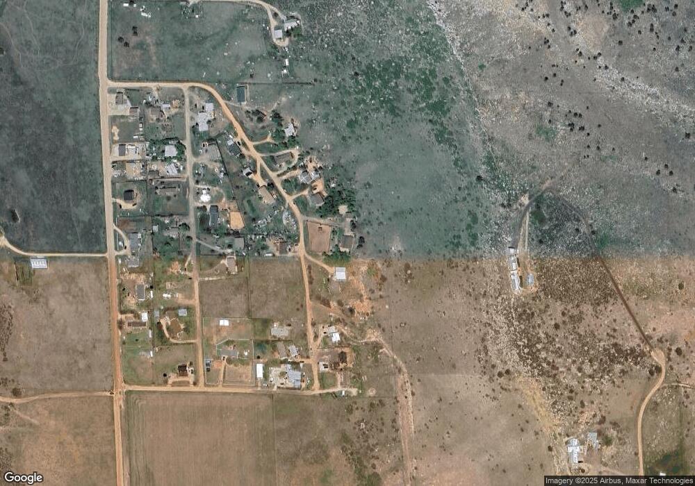
Map
Nearby Homes
- 304-308 McColm St
- 407 Del Rio Rd
- 1494 Higgins Creek Dr
- 1500 Higgins Creek Dr
- 1506 Higgins Creek Dr
- 1510 Higgins Creek Dr
- 2118 Dry Creek Dr
- 1525 S Co Road 27e
- 7380 W County Road 4
- 5306 Foothills Dr
- 5409 Gary Dr
- 3600 Blue Mountain Trail
- 1115 Vision Way
- 0 Lucky Ln
- 871 N County Road 23e
- 5644 Kiva Ridge Dr
- 2420 Ponderosa Hill Rd
- 6310 W County Road 4
- 4909 Gary Dr
- 0 Beverly Dr
Your Personal Tour Guide
Ask me questions while you tour the home.