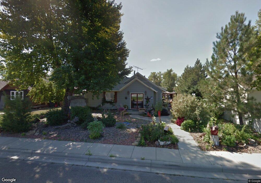
316 Wildrye St Colstrip, MT 59323
Estimated Value: $177,875 - $222,000
2
Beds
2
Baths
1,652
Sq Ft
$119/Sq Ft
Est. Value
About This Home
This home is located at 316 Wildrye St, Colstrip, MT 59323 and is currently estimated at $196,219, approximately $118 per square foot. 316 Wildrye St is a home located in Rosebud County with nearby schools including Pine Butte Elementary School and Frank Brattin Middle School.
Ownership History
Date
Name
Owned For
Owner Type
Purchase Details
Closed on
Feb 1, 2023
Sold by
Yates Tanner and Yates Tiana
Bought by
Kuykendall Morgan L
Current Estimated Value
Home Financials for this Owner
Home Financials are based on the most recent Mortgage that was taken out on this home.
Original Mortgage
$124,063
Outstanding Balance
$119,705
Interest Rate
6.26%
Mortgage Type
Construction
Estimated Equity
$76,514
Purchase Details
Closed on
Oct 29, 2018
Sold by
Donna Mcculloch
Bought by
Tanner Yates
Create a Home Valuation Report for This Property
The Home Valuation Report is an in-depth analysis detailing your home's value as well as a comparison with similar homes in the area
Purchase History
| Date | Buyer | Sale Price | Title Company |
|---|---|---|---|
| Kuykendall Morgan L | $155,078 | Old Republic Nat L Title Ins | |
| Tanner Yates | -- | Other |
Source: Public Records
Mortgage History
| Date | Status | Borrower | Loan Amount |
|---|---|---|---|
| Open | Kuykendall Morgan L | $124,063 |
Source: Public Records
Tax History
| Year | Tax Paid | Tax Assessment Tax Assessment Total Assessment is a certain percentage of the fair market value that is determined by local assessors to be the total taxable value of land and additions on the property. | Land | Improvement |
|---|---|---|---|---|
| 2025 | $781 | $125,200 | $0 | $0 |
| 2024 | $886 | $95,200 | $0 | $0 |
| 2023 | $833 | $95,200 | $0 | $0 |
| 2022 | $861 | $111,900 | $0 | $0 |
| 2021 | $557 | $111,900 | $0 | $0 |
| 2020 | $796 | $117,300 | $0 | $0 |
| 2019 | $710 | $117,300 | $0 | $0 |
| 2018 | $677 | $110,800 | $0 | $0 |
| 2017 | $443 | $110,800 | $0 | $0 |
| 2016 | $629 | $112,100 | $0 | $0 |
| 2015 | $393 | $112,100 | $0 | $0 |
| 2014 | $256 | $44,520 | $0 | $0 |
Source: Public Records
Map
Nearby Homes
Your Personal Tour Guide
Ask me questions while you tour the home.