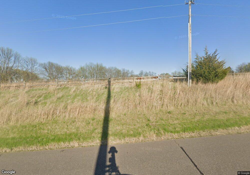
3162 Independence Rd Maple Plain, MN 55359
Estimated Value: $1,892,000 - $2,454,936
5
Beds
4
Baths
4,932
Sq Ft
$443/Sq Ft
Est. Value
About This Home
This home is located at 3162 Independence Rd, Maple Plain, MN 55359 and is currently estimated at $2,185,984, approximately $443 per square foot. 3162 Independence Rd is a home located in Hennepin County with nearby schools including Schumann Elementary School, Orono Intermediate Elementary School, and Orono Middle School.
Ownership History
Date
Name
Owned For
Owner Type
Purchase Details
Closed on
Jul 28, 2021
Sold by
Fischer Sharyl L and Fischer Mark D
Bought by
Kracht Daryl L and Kracht Tara
Current Estimated Value
Home Financials for this Owner
Home Financials are based on the most recent Mortgage that was taken out on this home.
Original Mortgage
$1,631,250
Outstanding Balance
$1,485,523
Interest Rate
3%
Mortgage Type
New Conventional
Estimated Equity
$700,461
Purchase Details
Closed on
Dec 15, 1999
Sold by
Admonius Timothy J
Bought by
Fischer Mark D and Fischer Sharyl L
Create a Home Valuation Report for This Property
The Home Valuation Report is an in-depth analysis detailing your home's value as well as a comparison with similar homes in the area
Home Values in the Area
Average Home Value in this Area
Purchase History
| Date | Buyer | Sale Price | Title Company |
|---|---|---|---|
| Kracht Daryl L | $2,175,000 | None Available | |
| Fischer Mark D | $925,000 | -- |
Source: Public Records
Mortgage History
| Date | Status | Borrower | Loan Amount |
|---|---|---|---|
| Open | Kracht Daryl L | $1,631,250 |
Source: Public Records
Tax History Compared to Growth
Tax History
| Year | Tax Paid | Tax Assessment Tax Assessment Total Assessment is a certain percentage of the fair market value that is determined by local assessors to be the total taxable value of land and additions on the property. | Land | Improvement |
|---|---|---|---|---|
| 2024 | $29,305 | $2,248,600 | $756,000 | $1,492,600 |
| 2023 | $27,075 | $2,141,100 | $700,000 | $1,441,100 |
| 2022 | $13,438 | $1,648,000 | $455,000 | $1,193,000 |
| 2021 | $13,390 | $956,000 | $377,000 | $579,000 |
| 2020 | $13,512 | $879,000 | $345,000 | $534,000 |
| 2019 | $13,385 | $842,300 | $325,000 | $517,300 |
| 2018 | $13,171 | $809,000 | $300,000 | $509,000 |
| 2017 | $12,140 | $741,000 | $319,000 | $422,000 |
| 2016 | $11,517 | $722,000 | $319,000 | $403,000 |
| 2015 | $11,837 | $747,000 | $319,000 | $428,000 |
| 2014 | -- | $669,300 | $266,300 | $403,000 |
Source: Public Records
Map
Nearby Homes
- 3602 William Way
- 3490 William Way
- 3512 William Way
- 3695 William Way
- 5946 Kochs Crossing
- 2211 Heritage Trail
- 4525 Walnut St
- 6695 Mckown Ct
- 2125 Heritage Trail
- 2073 Bridgevine Ct
- 2101 Bridgevine Ct
- 2224 Bridgevine Ct
- 2084 Bridgevine Ct
- 2045 Bridgevine Ct
- 2017 Bridgevine Ct
- xxxx Town Line Rd
- 1635 Delano Ave
- 5183 Independence St
- 4835 Drake St
- 5249 Main St E
- xxxx Independence
- 3212 Independence Rd
- 3212 Independence Rd
- XXXX Lindgren Ln
- 0 Xxxx Unit 3554173
- xxx Lindgren Ln
- 3085 Independence Rd
- XXX Independence Rd
- 3314 Independence Rd
- 3010 Lindgren Ln
- 2989 Lindgren Ln
- 6095 Wood Hill Ln
- 2919 Independence Rd
- 2935 Lindgren Ln
- 5540 Pete Dr
- 5405 Pete Dr
- 2925 Lindgren Ln
- 2925 Lindgren Ln
- 2909 Lindgren Ln
- 5395 & 5375 Pete Dr
