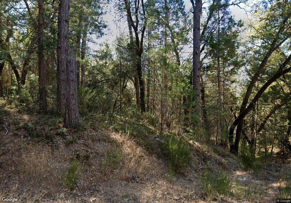
31624 State Highway 49 North San Juan, CA 95960
Estimated Value: $379,000 - $435,000
3
Beds
2
Baths
1,455
Sq Ft
$281/Sq Ft
Est. Value
About This Home
This home is located at 31624 State Highway 49, North San Juan, CA 95960 and is currently estimated at $409,401, approximately $281 per square foot. 31624 State Highway 49 is a home.
Ownership History
Date
Name
Owned For
Owner Type
Purchase Details
Closed on
Nov 12, 2014
Sold by
Warren Beverly and Orduna Delia O
Bought by
Warren Beverly and Orduna Delia O
Current Estimated Value
Purchase Details
Closed on
Dec 8, 2003
Sold by
Spring Robert H
Bought by
Livi Spring Robert H
Purchase Details
Closed on
Apr 9, 2001
Sold by
Pinto Jerry M and Pinto Noma Y
Bought by
Spring Robert H
Purchase Details
Closed on
May 15, 1998
Sold by
Pinto Jerry M and Pinto Noma Y
Bought by
Pinto Jerry M and Pinto Noma Y
Create a Home Valuation Report for This Property
The Home Valuation Report is an in-depth analysis detailing your home's value as well as a comparison with similar homes in the area
Home Values in the Area
Average Home Value in this Area
Purchase History
| Date | Buyer | Sale Price | Title Company |
|---|---|---|---|
| Warren Beverly | -- | None Available | |
| Livi Spring Robert H | -- | -- | |
| Spring Robert H | $177,500 | Inter County Title Co | |
| Pinto Jerry M | -- | -- |
Source: Public Records
Tax History Compared to Growth
Tax History
| Year | Tax Paid | Tax Assessment Tax Assessment Total Assessment is a certain percentage of the fair market value that is determined by local assessors to be the total taxable value of land and additions on the property. | Land | Improvement |
|---|---|---|---|---|
| 2025 | $2,614 | $240,361 | $48,070 | $192,291 |
| 2024 | $2,505 | $235,649 | $47,128 | $188,521 |
| 2023 | $2,505 | $231,029 | $46,204 | $184,825 |
| 2022 | $2,454 | $226,500 | $45,299 | $181,201 |
| 2021 | $2,383 | $222,060 | $44,411 | $177,649 |
| 2020 | $2,379 | $219,784 | $43,956 | $175,828 |
| 2019 | $2,332 | $215,476 | $43,095 | $172,381 |
| 2018 | $0 | $211,251 | $42,250 | $169,001 |
| 2017 | $2,246 | $207,110 | $41,422 | $165,688 |
| 2016 | $2,166 | $203,050 | $40,610 | $162,440 |
| 2015 | $2,139 | $200,000 | $40,000 | $160,000 |
| 2014 | $2,139 | $215,103 | $61,456 | $153,647 |
Source: Public Records
Map
Nearby Homes
- 10757 Tobacco Rd
- 13786 Moonshine Rd
- 13333 Preston Rd
- 15003 Alleghany Rd
- 12310 Robinson Rd
- 28110 Sweetland Rd
- 27596 Sweetland Rd
- 15528 California 49
- 16289 Badger Hill Rd
- 14317 Tyler Foote Rd
- 10311 School St
- 10114 Francisco Ln
- 13071 Moonshine Rd
- 15300 Tyler Foote Rd
- 10884 Milky Way
- 15699-(20 AC) Tyler Foote Rd
- 12475 Tyler Foote Crossing Rd
- 15699 Tyler Foote Rd
- 10571 Sebastopol Rd
- 11192 Sebastopol Rd
- 31566 State Highway 49
- 31610 Drunken Miners Rd
- 31698 Drunken Miners Rd
- 31624 Drunken Miners Rd
- 31515 Drunken Miners Rd
- 18317 Golden Chain Hwy
- 31564 Drunken Miners Rd
- 31522 Drunken Miners Rd
- 31009 Golden Chain Hwy
- 29185 Golden Chain Hwy
- 31500 Drunken Miners Rd
- 31510 California 49
- 14106 Moonshine Rd
- 14110 Moonshine Rd
- 14110 Moonshine Rd
- 14088 Moonshine Rd
- 14097 Moonshine Rd
- 0 New School Rd W
- 31533 California 49
- 31352 Golden Chain Hwy
