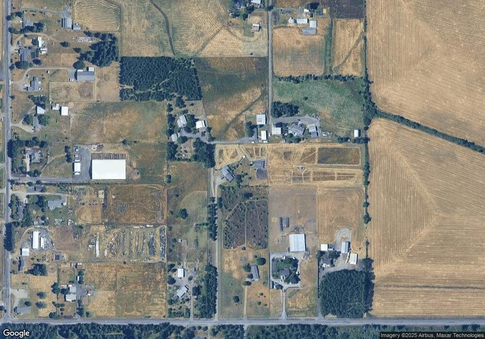
31649 Ross Ln Corvallis, OR 97333
Estimated Value: $369,000 - $479,000
--
Bed
2
Baths
1,026
Sq Ft
$398/Sq Ft
Est. Value
About This Home
This home is located at 31649 Ross Ln, Corvallis, OR 97333 and is currently estimated at $408,000, approximately $397 per square foot. 31649 Ross Ln is a home located in Benton County with nearby schools including Clemens Primary School, Philomath Elementary School, and Philomath Middle School.
Ownership History
Date
Name
Owned For
Owner Type
Purchase Details
Closed on
Apr 26, 2005
Sold by
Swinney Agnes M
Bought by
Masciulli Deborah
Current Estimated Value
Home Financials for this Owner
Home Financials are based on the most recent Mortgage that was taken out on this home.
Original Mortgage
$160,000
Outstanding Balance
$83,149
Interest Rate
5.99%
Mortgage Type
Fannie Mae Freddie Mac
Estimated Equity
$324,851
Purchase Details
Closed on
Jun 19, 2003
Sold by
Swinney Agnes M
Bought by
Swinney Agnes M and Agnes M Swinney Revocable Living Trust
Create a Home Valuation Report for This Property
The Home Valuation Report is an in-depth analysis detailing your home's value as well as a comparison with similar homes in the area
Home Values in the Area
Average Home Value in this Area
Purchase History
| Date | Buyer | Sale Price | Title Company |
|---|---|---|---|
| Masciulli Deborah | $165,000 | Lawyers Title Ins | |
| Swinney Agnes M | -- | -- |
Source: Public Records
Mortgage History
| Date | Status | Borrower | Loan Amount |
|---|---|---|---|
| Open | Masciulli Deborah | $160,000 |
Source: Public Records
Tax History Compared to Growth
Tax History
| Year | Tax Paid | Tax Assessment Tax Assessment Total Assessment is a certain percentage of the fair market value that is determined by local assessors to be the total taxable value of land and additions on the property. | Land | Improvement |
|---|---|---|---|---|
| 2025 | $1,426 | $94,499 | -- | -- |
| 2024 | $1,426 | $91,864 | -- | -- |
| 2023 | $1,356 | $89,308 | $0 | $0 |
| 2022 | $1,319 | $86,824 | $0 | $0 |
| 2021 | $1,284 | $84,413 | $0 | $0 |
| 2020 | $1,295 | $82,070 | $0 | $0 |
| 2019 | $1,198 | $79,797 | $0 | $0 |
| 2018 | $1,210 | $77,590 | $0 | $0 |
| 2017 | $1,186 | $75,446 | $0 | $0 |
| 2016 | $1,135 | $73,365 | $0 | $0 |
| 2015 | $1,066 | $71,344 | $0 | $0 |
| 2014 | $1,058 | $69,382 | $0 | $0 |
| 2012 | -- | $65,628 | $0 | $0 |
Source: Public Records
Map
Nearby Homes
- 31970 Fern Rd
- 760 S 16th St
- 1502 Timothy St
- 3125 Southwood Dr
- 235 S 18th St
- 3425 Southwood Dr
- 135 S 21st St
- 409 S 30th St
- 407 S 30th St
- 224 S 24th St
- 1717 Main St
- 5285 & 5287 SW Watenpaugh Ave
- 346 Robb Place
- 240 N 19th St
- 223 N 14th St
- 2759 Newton St
- 803 Main St
- 2892 Newton Place
- 2820 Newton Place
- 345 N 11th (351) St
- 31681 Ross Ln
- 31695 Blair Rd
- 25513 SW Airport Ave
- 25533 SW Airport Ave
- 25485 SW Airport Ave
- 25553 SW Airport Ave
- 31753 Blair Rd
- 31771 Fern Rd
- 25492 SW Airport Ave
- 31717 Fern Rd
- 31795 Blair Rd
- 31656 Fern Rd
- 31737 Fern Rd
- 31695 Fern Rd
- 31645 Fern Rd
- 31661 Fern Rd
- 31619 Fern Rd
- 25412 SW Airport Ave
- 31714 Fern Rd
- 31755 Fern Rd
