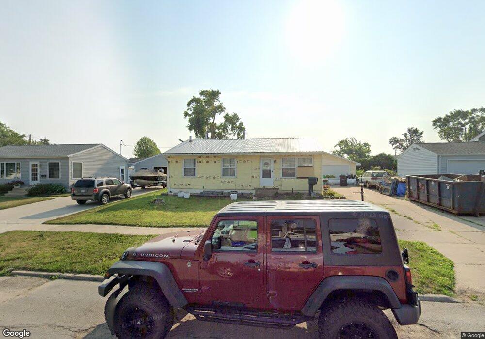
317 Day St NW Cedar Rapids, IA 52405
Cherry Hill Park NeighborhoodEstimated Value: $192,000 - $215,000
3
Beds
2
Baths
1,001
Sq Ft
$201/Sq Ft
Est. Value
About This Home
This home is located at 317 Day St NW, Cedar Rapids, IA 52405 and is currently estimated at $201,084, approximately $200 per square foot. 317 Day St NW is a home located in Linn County with nearby schools including Junction City Elementary School, Maple Grove Elementary School, and North Middletown Elementary School.
Ownership History
Date
Name
Owned For
Owner Type
Purchase Details
Closed on
Mar 13, 2015
Sold by
Mallicoat Craig Allen
Bought by
Soper David L and Soper Bonnie J
Current Estimated Value
Home Financials for this Owner
Home Financials are based on the most recent Mortgage that was taken out on this home.
Original Mortgage
$119,298
Outstanding Balance
$90,964
Interest Rate
3.56%
Mortgage Type
FHA
Estimated Equity
$110,120
Purchase Details
Closed on
Jul 19, 2006
Sold by
Filip David M and Filip Lisa Ann
Bought by
Mallicoat Craig Allen
Home Financials for this Owner
Home Financials are based on the most recent Mortgage that was taken out on this home.
Original Mortgage
$119,795
Interest Rate
6.73%
Mortgage Type
Unknown
Create a Home Valuation Report for This Property
The Home Valuation Report is an in-depth analysis detailing your home's value as well as a comparison with similar homes in the area
Home Values in the Area
Average Home Value in this Area
Purchase History
| Date | Buyer | Sale Price | Title Company |
|---|---|---|---|
| Soper David L | $121,500 | Security First Title Co | |
| Mallicoat Craig Allen | $123,000 | None Available |
Source: Public Records
Mortgage History
| Date | Status | Borrower | Loan Amount |
|---|---|---|---|
| Open | Soper David L | $119,298 | |
| Previous Owner | Mallicoat Craig Allen | $119,795 |
Source: Public Records
Tax History Compared to Growth
Tax History
| Year | Tax Paid | Tax Assessment Tax Assessment Total Assessment is a certain percentage of the fair market value that is determined by local assessors to be the total taxable value of land and additions on the property. | Land | Improvement |
|---|---|---|---|---|
| 2025 | $2,862 | $185,900 | $37,800 | $148,100 |
| 2024 | $3,016 | $172,800 | $33,100 | $139,700 |
| 2023 | $3,016 | $161,700 | $33,100 | $128,600 |
| 2022 | $2,710 | $143,000 | $28,400 | $114,600 |
| 2021 | $2,718 | $130,800 | $28,400 | $102,400 |
| 2020 | $2,718 | $123,200 | $25,200 | $98,000 |
| 2019 | $2,546 | $118,100 | $25,200 | $92,900 |
| 2018 | $2,476 | $118,100 | $25,200 | $92,900 |
| 2017 | $2,494 | $114,500 | $25,200 | $89,300 |
| 2016 | $2,440 | $114,800 | $25,200 | $89,600 |
| 2015 | $2,498 | $117,408 | $25,220 | $92,188 |
| 2014 | $2,498 | $117,408 | $25,220 | $92,188 |
| 2013 | $2,444 | $117,408 | $25,220 | $92,188 |
Source: Public Records
Map
Nearby Homes
- 164 Cherry Hill Rd NW
- 5918 Sharon Ln NW
- 5127 Holly Ave NW
- 200 Cherry Park Dr NW
- 408 Jacolyn Dr NW
- 150 Meadowlark Ln NW
- 4975 Kesler Rd NW
- 281 Jacolyn Dr NW
- 272 Peace Ave NW
- 106 Leroy St NW
- 236 Jacolyn Dr NW
- 4819 Ford Ave NW
- 229 Jacolyn Dr NW
- 6008 Eastview Ave SW
- 323 Norwick Rd SW
- 208 Lenora Dr NW
- 4819 Fruitwood Ln NW
- 6118 Greenbriar Ln SW Unit D
- 6608 Limestone Ct NW
- 6305 Greenbriar Ln SW Unit B
- 325 Day St NW
- 316 Carter St NW
- 324 Carter St NW
- 333 Day St NW
- 308 Carter St NW
- 332 Carter St NW
- 5460 Plainview Dr NW
- 5454 Plainview Dr NW
- 316 Day St NW
- 308 Day St NW
- 324 Day St NW
- 341 Day St NW
- 340 Carter St NW
- 5450 Plainview Dr NW
- 5470 Plainview Dr NW
- 332 Day St NW
- 400 Carter St NW
- 401 Day St NW
- 5474 Plainview Dr NW
- 340 Day St NW