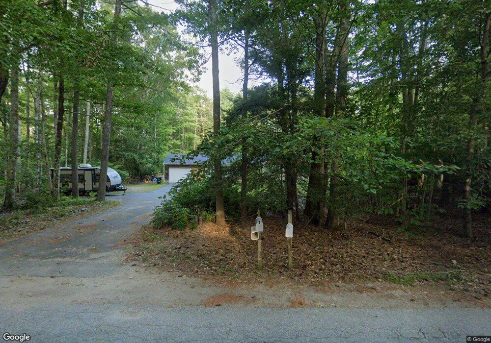
317 Dunnell Rd Buxton, ME 04093
Estimated Value: $424,000 - $456,000
3
Beds
2
Baths
1,296
Sq Ft
$334/Sq Ft
Est. Value
About This Home
This home is located at 317 Dunnell Rd, Buxton, ME 04093 and is currently estimated at $432,426, approximately $333 per square foot. 317 Dunnell Rd is a home with nearby schools including Bonny Eagle High School.
Ownership History
Date
Name
Owned For
Owner Type
Purchase Details
Closed on
Jul 24, 2019
Sold by
Nobert Jeffrey D
Bought by
Hascall Rynee L
Current Estimated Value
Purchase Details
Closed on
Nov 15, 2016
Sold by
Mitchell Joan L
Bought by
Nobert Jeffrey D
Home Financials for this Owner
Home Financials are based on the most recent Mortgage that was taken out on this home.
Original Mortgage
$212,800
Interest Rate
3.42%
Mortgage Type
Commercial
Create a Home Valuation Report for This Property
The Home Valuation Report is an in-depth analysis detailing your home's value as well as a comparison with similar homes in the area
Home Values in the Area
Average Home Value in this Area
Purchase History
| Date | Buyer | Sale Price | Title Company |
|---|---|---|---|
| Hascall Rynee L | -- | -- | |
| Nobert Jeffrey D | -- | -- |
Source: Public Records
Mortgage History
| Date | Status | Borrower | Loan Amount |
|---|---|---|---|
| Previous Owner | Nobert Jeffrey D | $212,800 |
Source: Public Records
Tax History
| Year | Tax Paid | Tax Assessment Tax Assessment Total Assessment is a certain percentage of the fair market value that is determined by local assessors to be the total taxable value of land and additions on the property. | Land | Improvement |
|---|---|---|---|---|
| 2025 | $3,584 | $314,400 | $106,800 | $207,600 |
| 2024 | $3,455 | $314,400 | $106,800 | $207,600 |
| 2023 | $3,279 | $314,400 | $106,800 | $207,600 |
| 2022 | $3,250 | $317,400 | $106,800 | $210,600 |
| 2021 | $3,224 | $222,963 | $62,300 | $160,663 |
| 2020 | $3,251 | $222,963 | $62,300 | $160,663 |
| 2019 | $2,940 | $198,400 | $62,300 | $136,100 |
| 2018 | $2,523 | $198,400 | $62,300 | $136,100 |
| 2017 | $2,698 | $198,400 | $62,300 | $136,100 |
| 2016 | $2,589 | $198,400 | $62,300 | $136,100 |
| 2015 | $2,569 | $198,400 | $62,300 | $136,100 |
| 2014 | $2,466 | $194,200 | $62,300 | $131,900 |
| 2013 | $2,428 | $194,200 | $62,300 | $131,900 |
Source: Public Records
Map
Nearby Homes
- 207 Dunnell Rd
- 82 Carll Rd
- 90 Green Acres Dr
- 0 Waterman
- 30 Joan Dixon Way
- 1306 Long Plains Rd
- 866 Parker Farm Rd Unit A
- 866 Parker Farm Rd Unit B
- 866 Parker Farm Lot B Rd
- 866 Parker Farm Lot A Rd
- 9 Johnson Farm Rd
- 17 Johnson Farm Rd
- 17 Boreal Dr
- 30 Boreal Dr
- 35 Rust Rd
- 4 Musket Dr
- 00 Deering Dr
- 430 Narragansett Trail
- 14 David Dr
- Lot 2 Commerce Way
- 325 Dunnell Rd
- 318 Dunnell Rd
- 32 Wildwood Cir
- 98 Hurlin Smith Rd
- 112 Hurlin Smith Rd
- 16 Wildwood Cir
- 328 Dunnell Rd
- 8 Wildwood Cir
- 331 Dunnell Rd
- 27 Wildwood Cir
- 120 Hurlin Smith Rd
- 332 Dunnell Rd
- 17 Wildwood Cir
- 436 Hurlin Smith Rd
- 23 Wildwood Cir
- 9 Wildwood Cir
- 88 Hurlin Smith Rd
- 337 Dunnell Rd
- 338 Dunnell Rd
- 292 Dunnell Rd
Your Personal Tour Guide
Ask me questions while you tour the home.