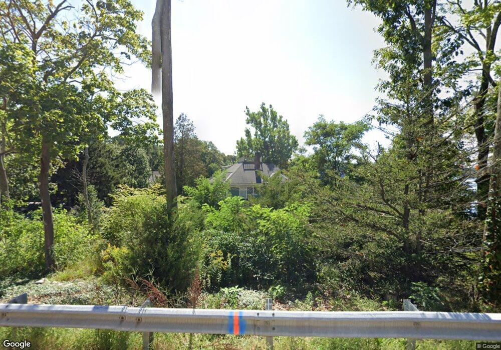
317 Franklin St Wrentham, MA 02093
Estimated Value: $770,000 - $1,182,000
5
Beds
4
Baths
3,358
Sq Ft
$307/Sq Ft
Est. Value
About This Home
This home is located at 317 Franklin St, Wrentham, MA 02093 and is currently estimated at $1,032,245, approximately $307 per square foot. 317 Franklin St is a home located in Norfolk County with nearby schools including Delaney Elementary School and Charles E Roderick.
Ownership History
Date
Name
Owned For
Owner Type
Purchase Details
Closed on
Jul 10, 2025
Sold by
Palmborg Douglas S
Bought by
Douglas S Palmborg Ret and Palmborg
Current Estimated Value
Purchase Details
Closed on
Jul 23, 2024
Sold by
Palmborg Arlene L Est and Palmborg
Bought by
Palmborg Douglas S
Purchase Details
Closed on
Dec 14, 2017
Sold by
Palmborg Paul R and Palmborg Arlene L
Bought by
Palmborg Arlene L
Create a Home Valuation Report for This Property
The Home Valuation Report is an in-depth analysis detailing your home's value as well as a comparison with similar homes in the area
Home Values in the Area
Average Home Value in this Area
Purchase History
| Date | Buyer | Sale Price | Title Company |
|---|---|---|---|
| Douglas S Palmborg Ret | -- | -- | |
| Douglas S Palmborg Ret | -- | -- | |
| Palmborg Douglas S | -- | None Available | |
| Palmborg Douglas S | -- | None Available | |
| Palmborg Douglas S | -- | None Available | |
| Palmborg Arlene L | -- | -- | |
| Palmborg Arlene L | -- | -- | |
| Palmborg Arlene L | -- | -- |
Source: Public Records
Mortgage History
| Date | Status | Borrower | Loan Amount |
|---|---|---|---|
| Previous Owner | Palmborg Arlene L | $15,000 |
Source: Public Records
Tax History Compared to Growth
Tax History
| Year | Tax Paid | Tax Assessment Tax Assessment Total Assessment is a certain percentage of the fair market value that is determined by local assessors to be the total taxable value of land and additions on the property. | Land | Improvement |
|---|---|---|---|---|
| 2025 | $12,040 | $1,038,800 | $547,700 | $491,100 |
| 2024 | $11,576 | $964,700 | $547,700 | $417,000 |
| 2023 | $11,019 | $873,100 | $497,900 | $375,200 |
| 2022 | $10,427 | $762,800 | $441,700 | $321,100 |
| 2021 | $9,708 | $690,000 | $392,100 | $297,900 |
| 2020 | $10,599 | $743,800 | $427,600 | $316,200 |
| 2019 | $10,785 | $763,800 | $460,500 | $303,300 |
| 2018 | $10,894 | $765,000 | $437,800 | $327,200 |
| 2017 | $10,660 | $748,100 | $429,300 | $318,800 |
| 2016 | $10,417 | $729,500 | $416,900 | $312,600 |
| 2015 | $9,259 | $618,100 | $400,800 | $217,300 |
| 2014 | $9,154 | $597,900 | $385,400 | $212,500 |
Source: Public Records
Map
Nearby Homes
- 570 Franklin St
- 10 Nature View Dr
- 15 Nature View Dr
- 131 Creek St Unit 7
- 50 Reed Fulton Ave Unit Lot 61
- 270 Dedham St
- 246 Forest Grove Ave
- 1 Lorraine Metcalf Dr
- 45 Joshua Rd
- 11 Earle Stewart Ln
- Lot 3 - 14 Earle Stewart Ln
- Lot 1 - Blueberry 2 Car Plan at King Philip Estates
- Lot 8 - Blueberry 2 Car Plan at King Philip Estates
- Lot 6 - Blueberry 3 Car Plan at King Philip Estates
- Lot 2 - Camden 2 Car Plan at King Philip Estates
- Lot 7 - Cedar Plan at King Philip Estates
- Lot 4 - Hemingway 2 Car Plan at King Philip Estates
- Lot 3 - Blueberry 2 Car Plan at King Philip Estates
- 3 Oak Rd
- 362 East St
- 315 Franklin St
- 313 Franklin St
- 331 Franklin St
- 340 Franklin St
- 311 Franklin St
- 348 Franklin St
- 309 Franklin St
- 356 Franklin St
- 359 Franklin St
- 332 Franklin St
- 295 Franklin St
- 125 Lake St
- 369 Franklin St
- 121 Lake St
- 366 Franklin St
- 371 Franklin St
- 115 Lake St
- 310 Franklin St
- 109 Lake St
- 377 Franklin St