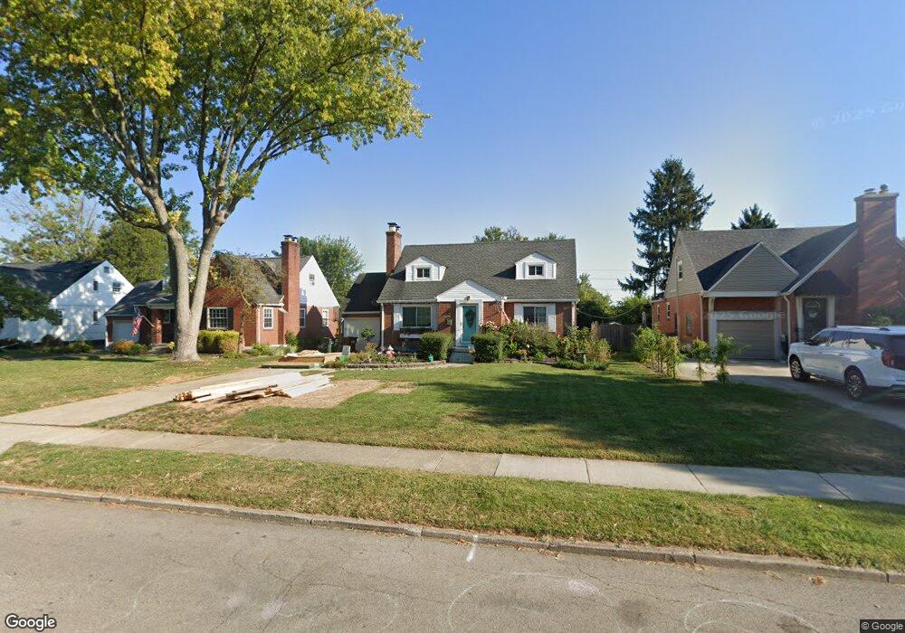
317 Lewiston Rd Dayton, OH 45429
Estimated Value: $235,000 - $319,000
3
Beds
2
Baths
1,546
Sq Ft
$190/Sq Ft
Est. Value
About This Home
This home is located at 317 Lewiston Rd, Dayton, OH 45429 and is currently estimated at $293,773, approximately $190 per square foot. 317 Lewiston Rd is a home located in Montgomery County with nearby schools including Orchard Park Elementary School, Van Buren Middle School, and Kettering Fairmont High School.
Ownership History
Date
Name
Owned For
Owner Type
Purchase Details
Closed on
Jul 30, 2019
Sold by
Spirk Robert J and Spirk Amanda M
Bought by
Spirk Robert J and Spirk Amanda M
Current Estimated Value
Purchase Details
Closed on
Nov 22, 2005
Sold by
Lee Jeanette
Bought by
Spirk Bob J and Spirk Amanda M
Home Financials for this Owner
Home Financials are based on the most recent Mortgage that was taken out on this home.
Original Mortgage
$131,000
Outstanding Balance
$72,477
Interest Rate
6.2%
Mortgage Type
Fannie Mae Freddie Mac
Estimated Equity
$221,296
Create a Home Valuation Report for This Property
The Home Valuation Report is an in-depth analysis detailing your home's value as well as a comparison with similar homes in the area
Home Values in the Area
Average Home Value in this Area
Purchase History
| Date | Buyer | Sale Price | Title Company |
|---|---|---|---|
| Spirk Robert J | -- | None Available | |
| Spirk Bob J | $131,000 | -- |
Source: Public Records
Mortgage History
| Date | Status | Borrower | Loan Amount |
|---|---|---|---|
| Open | Spirk Bob J | $131,000 |
Source: Public Records
Tax History Compared to Growth
Tax History
| Year | Tax Paid | Tax Assessment Tax Assessment Total Assessment is a certain percentage of the fair market value that is determined by local assessors to be the total taxable value of land and additions on the property. | Land | Improvement |
|---|---|---|---|---|
| 2024 | $6,532 | $100,850 | $16,350 | $84,500 |
| 2023 | $6,532 | $100,850 | $16,350 | $84,500 |
| 2022 | $5,743 | $69,490 | $11,280 | $58,210 |
| 2021 | $5,333 | $69,490 | $11,280 | $58,210 |
| 2020 | $5,345 | $69,490 | $11,280 | $58,210 |
| 2019 | $4,497 | $51,040 | $13,130 | $37,910 |
| 2018 | $4,251 | $51,040 | $13,130 | $37,910 |
| 2017 | $3,917 | $51,040 | $13,130 | $37,910 |
| 2016 | $3,702 | $45,290 | $13,130 | $32,160 |
| 2015 | $3,538 | $45,290 | $13,130 | $32,160 |
| 2014 | $3,538 | $45,290 | $13,130 | $32,160 |
| 2012 | -- | $50,020 | $13,230 | $36,790 |
Source: Public Records
Map
Nearby Homes
- 309 Lewiston Rd
- 320 E Dorothy Ln
- 233 E Dorothy Ln
- 320 Brydon Rd
- 117 Cushing Ave
- 441 Cushing Ave
- 209 Brydon Rd
- 101 Blue Gate Cir Unit 1
- 235 Claranna Ave
- 587 Cottingwood Ct
- 3212 Lenox Dr
- 349 Orchard Dr
- 311 Parkdale St Unit 309
- 2701 Aerial Ave
- 2817 Royalston Ave
- 321 E Dorothy Ln
- 115 N Bromfield Rd
- 3073 Hillside Ave
- 709 E Dorothy Ln
- 651 Broad Blvd
- 313 Lewiston Rd
- 321 Lewiston Rd
- 325 Lewiston Rd
- 324 E Dorothy Ln
- 312 E Dorothy Ln
- 305 Lewiston Rd
- 329 Lewiston Rd
- 328 E Dorothy Ln
- 308 E Dorothy Ln
- 316 Lewiston Rd
- 312 Lewiston Rd
- 320 Lewiston Rd
- 308 Lewiston Rd
- 324 Lewiston Rd
- 332 E Dorothy Ln
- 304 E Dorothy Ln
- 333 Lewiston Rd
- 3024 Hathaway Rd
- 304 Lewiston Rd
- 328 Lewiston Rd