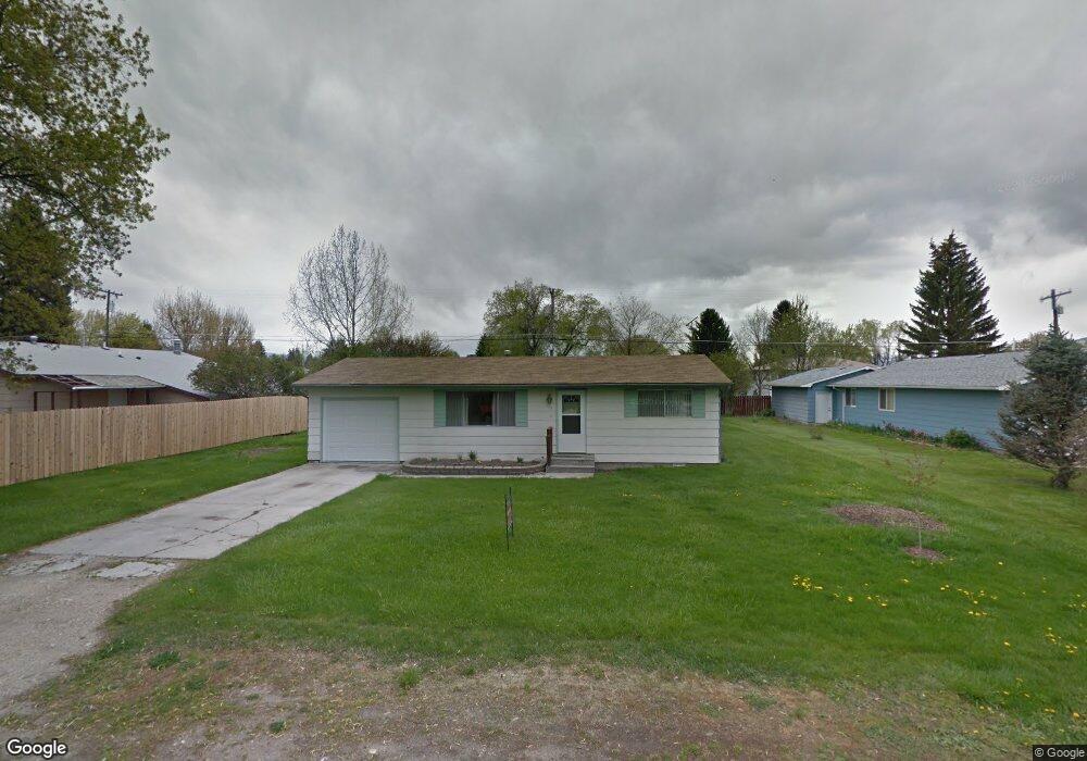
317 Spring St Stevensville, MT 59870
Stevensville NeighborhoodEstimated Value: $330,000 - $352,000
2
Beds
1
Bath
816
Sq Ft
$424/Sq Ft
Est. Value
About This Home
This home is located at 317 Spring St, Stevensville, MT 59870 and is currently estimated at $345,818, approximately $423 per square foot. 317 Spring St is a home located in Ravalli County with nearby schools including Stevensville Elementary School, Stevensville Junior High School, and Stevensville High School.
Ownership History
Date
Name
Owned For
Owner Type
Purchase Details
Closed on
Dec 7, 2012
Bought by
Joost John R and Joost Sylvia B
Current Estimated Value
Home Financials for this Owner
Home Financials are based on the most recent Mortgage that was taken out on this home.
Original Mortgage
$55,600
Outstanding Balance
$44,668
Interest Rate
5.14%
Mortgage Type
New Conventional
Estimated Equity
$301,150
Purchase Details
Closed on
Jan 28, 2009
Bought by
Joost John R and Joost Sylvia B
Create a Home Valuation Report for This Property
The Home Valuation Report is an in-depth analysis detailing your home's value as well as a comparison with similar homes in the area
Home Values in the Area
Average Home Value in this Area
Purchase History
| Date | Buyer | Sale Price | Title Company |
|---|---|---|---|
| Joost John R | -- | -- | |
| Joost John R | -- | -- |
Source: Public Records
Mortgage History
| Date | Status | Borrower | Loan Amount |
|---|---|---|---|
| Open | Joost John R | $55,600 |
Source: Public Records
Tax History
| Year | Tax Paid | Tax Assessment Tax Assessment Total Assessment is a certain percentage of the fair market value that is determined by local assessors to be the total taxable value of land and additions on the property. | Land | Improvement |
|---|---|---|---|---|
| 2025 | $1,099 | $318,400 | $0 | $0 |
| 2024 | $1,502 | $246,900 | $0 | $0 |
| 2023 | $1,624 | $246,900 | $0 | $0 |
| 2022 | $1,304 | $169,800 | $0 | $0 |
| 2021 | $1,416 | $169,800 | $0 | $0 |
| 2020 | $1,245 | $133,900 | $0 | $0 |
| 2019 | $1,190 | $133,900 | $0 | $0 |
| 2018 | $1,010 | $112,500 | $0 | $0 |
| 2017 | $926 | $112,500 | $0 | $0 |
| 2016 | $892 | $98,400 | $0 | $0 |
| 2015 | $884 | $98,400 | $0 | $0 |
| 2014 | $1,057 | $69,271 | $0 | $0 |
Source: Public Records
Map
Nearby Homes
- 406 5th St
- Lot 5 Bessie Ln
- 103 Peterson Place
- 404 Pine St
- 623 Park St Unit 3
- 515 Mission St
- 211 Buck St
- NHN Mystic River Rd
- 211 Middle Burnt Fork Rd
- 325 Valley View St
- 101 Binks Way Unit 6
- 3572 Cimarron Ln
- 1417 Creekside Dr
- 3585 Sourdough Ln
- 3523 Hitching Post Ln
- 3707 Eastside Hwy
- 26 Success Ct
- 42 Clubhouse Way
- 1187 Heritage Dr
- 79 Big Bear Rd
Your Personal Tour Guide
Ask me questions while you tour the home.