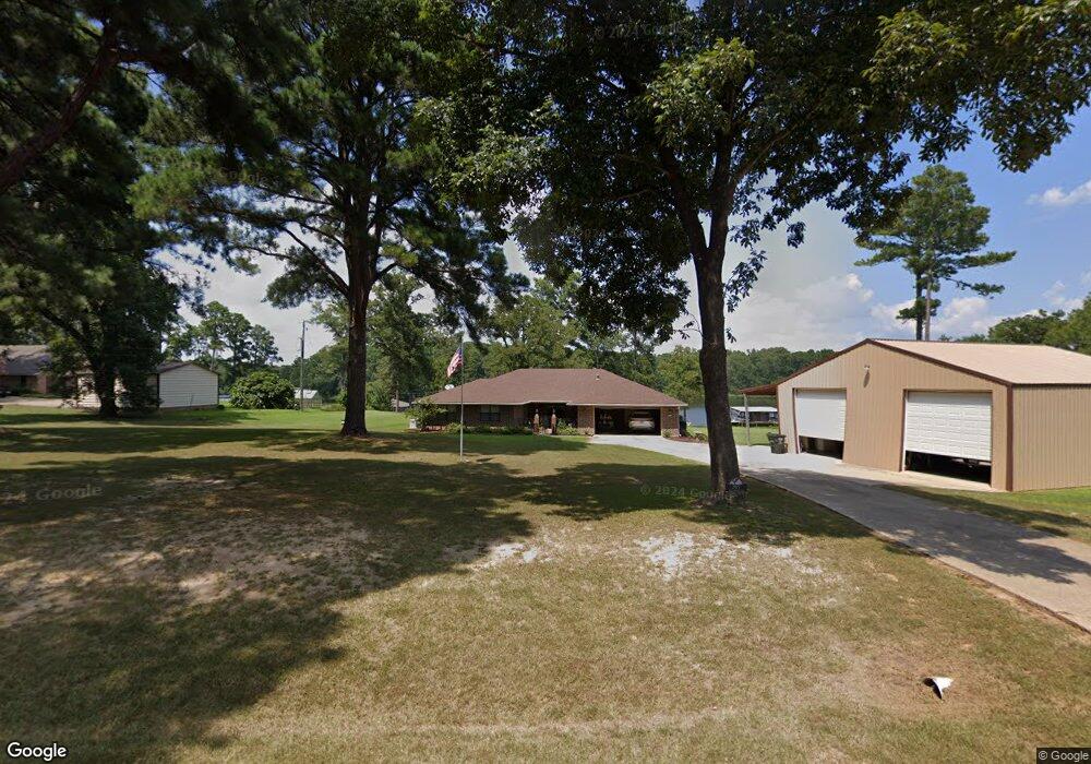
317 Twin Point Dr Benton, LA 71006
Linton-Midway NeighborhoodEstimated Value: $354,000 - $484,000
4
Beds
3
Baths
2,288
Sq Ft
$184/Sq Ft
Est. Value
About This Home
This home is located at 317 Twin Point Dr, Benton, LA 71006 and is currently estimated at $421,140, approximately $184 per square foot. 317 Twin Point Dr is a home located in Bossier Parish with nearby schools including Benton Elementary School, Benton Middle School, and Benton High School.
Ownership History
Date
Name
Owned For
Owner Type
Purchase Details
Closed on
Mar 27, 2015
Sold by
Mitchell Robert Walter
Bought by
Wooten Thomas Jason and Wooten Ruby Silkwood
Current Estimated Value
Home Financials for this Owner
Home Financials are based on the most recent Mortgage that was taken out on this home.
Original Mortgage
$1,000,000
Outstanding Balance
$769,538
Interest Rate
3.73%
Mortgage Type
Future Advance Clause Open End Mortgage
Estimated Equity
-$348,398
Create a Home Valuation Report for This Property
The Home Valuation Report is an in-depth analysis detailing your home's value as well as a comparison with similar homes in the area
Home Values in the Area
Average Home Value in this Area
Purchase History
| Date | Buyer | Sale Price | Title Company |
|---|---|---|---|
| Wooten Thomas Jason | $185,500 | None Available |
Source: Public Records
Mortgage History
| Date | Status | Borrower | Loan Amount |
|---|---|---|---|
| Open | Wooten Thomas Jason | $1,000,000 |
Source: Public Records
Tax History Compared to Growth
Tax History
| Year | Tax Paid | Tax Assessment Tax Assessment Total Assessment is a certain percentage of the fair market value that is determined by local assessors to be the total taxable value of land and additions on the property. | Land | Improvement |
|---|---|---|---|---|
| 2024 | $2,523 | $28,278 | $10,000 | $18,278 |
| 2023 | $2,674 | $28,278 | $10,000 | $18,278 |
| 2022 | $2,660 | $28,278 | $10,000 | $18,278 |
| 2021 | $2,618 | $28,278 | $10,000 | $18,278 |
| 2020 | $2,618 | $28,278 | $10,000 | $18,278 |
| 2019 | $2,683 | $28,538 | $10,000 | $18,538 |
| 2018 | $2,683 | $28,540 | $10,000 | $18,540 |
| 2017 | $2,652 | $28,540 | $10,000 | $18,540 |
| 2016 | $2,652 | $28,540 | $10,000 | $18,540 |
| 2015 | $1,905 | $23,440 | $7,000 | $16,440 |
| 2014 | -- | $22,910 | $7,000 | $15,910 |
Source: Public Records
Map
Nearby Homes
- 522 Twin Point Dr
- 1401 Linton Rd
- 49 Turtle Creek Dr
- 37 Turtle Creek Dr
- 35 Turtle Creek Dr
- 5046 Linton Cutoff Rd
- 76 Turtle Creek Dr
- 90 Turtle Creek Dr
- 66 Turtle Creek Dr
- 19 Turtle Creek Dr
- 81 Turtle Creek Dr
- 79 Turtle Creek Dr
- 75 Turtle Creek Dr
- 0 Downs Dr
- 102 Caiden St
- 42, T Madonna Dr
- 1140 Linton Rd
- 5105 Water's Edge Dr
- 5220 Meghan Caye St
- 5020 Sweetwater Dr
- 291 Twin Point Dr
- 331 Twin Point Dr
- 308 Twin Point Dr
- 312 Twin Point Dr
- 277 Twin Point Dr
- 335 Twin Point Dr
- 258 Twin Point Dr
- 255 Twin Point Dr
- 250 Twin Point Dr
- 224 Twin Point Dr
- 846 W Lakeshore Dr
- 204 Twin Point Dr
- 840 W Lakeshore Dr
- 506 Twin Point Dr
- 418 Lintwin Cir
- 512 Twin Point Dr
- 158 Twin Point Dr
- 836 W Lakeshore Dr
- 376 Lintwin Cir
- 835 W Lakeshore Dr