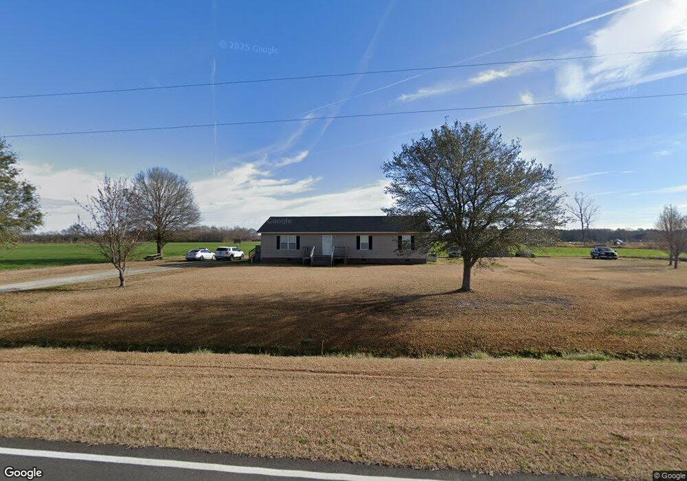
3174 Lamb Rd Willard, NC 28478
Willard NeighborhoodEstimated Value: $190,000 - $253,620
3
Beds
2
Baths
1,596
Sq Ft
$137/Sq Ft
Est. Value
About This Home
This home is located at 3174 Lamb Rd, Willard, NC 28478 and is currently estimated at $218,905, approximately $137 per square foot. 3174 Lamb Rd is a home located in Pender County with nearby schools including Penderlea Elementary School and Pender High School.
Create a Home Valuation Report for This Property
The Home Valuation Report is an in-depth analysis detailing your home's value as well as a comparison with similar homes in the area
Home Values in the Area
Average Home Value in this Area
Tax History
| Year | Tax Paid | Tax Assessment Tax Assessment Total Assessment is a certain percentage of the fair market value that is determined by local assessors to be the total taxable value of land and additions on the property. | Land | Improvement |
|---|---|---|---|---|
| 2025 | $1,398 | $227,540 | $20,205 | $207,335 |
| 2024 | $1,398 | $128,854 | $22,600 | $106,254 |
| 2023 | $1,398 | $128,854 | $22,600 | $106,254 |
| 2022 | $1,299 | $128,854 | $22,600 | $106,254 |
| 2021 | $1,299 | $128,854 | $22,600 | $106,254 |
| 2020 | $1,299 | $128,854 | $22,600 | $106,254 |
| 2019 | $1,299 | $128,854 | $22,600 | $106,254 |
| 2018 | $1,180 | $113,281 | $17,600 | $95,681 |
| 2017 | $1,180 | $113,281 | $17,600 | $95,681 |
| 2016 | $1,169 | $113,281 | $17,600 | $95,681 |
| 2015 | $1,134 | $113,281 | $17,600 | $95,681 |
| 2014 | $914 | $113,281 | $17,600 | $95,681 |
| 2013 | -- | $113,281 | $17,600 | $95,681 |
| 2012 | -- | $113,281 | $17,600 | $95,681 |
Source: Public Records
Map
Nearby Homes
- 4044 Nc Highway 11
- 9701 Penderlea Hwy
- 10.6 Crooked Run Rd
- 11.98 Pelham Rd
- 1003 Old Mill Rd
- 993 Old Mill Rd
- 994 Test Farm Rd
- 25511 Hwy 421
- 1856 Old Mill Rd
- 8729 Mary Slocum Rd SW
- 25625 US Hwy 421
- 3515 Watha Rd
- 510 Mary Slocum Rd NE
- 00 Cumberland Clement
- 570 W Main St
- 124 Hc Powers Rd
- 209 Oak St
- 241 Oak St
- 405 S Alligator Ln
- 4441 S Nc 11 Hwy
- 3056 Lamb Rd
- 3110 Nc Hwy 11
- 3017 Lamb Rd
- 3000 Lamb Rd
- 3144 Nc Highway 11
- 3144 Nc Hwy 11
- 3166 Nc Highway 11
- 3071 Nc Highway 11
- 3177 Nc Highway 11
- 2896 Nc Highway 11
- 0 Nc Hwy 11 Unit 30466632
- 0 Nc Hwy 11 Unit 20670297
- 2895 Nc Highway 11
- 3347 N Carolina 11
- 3421 Nc Highway 11
- 0 Hwy 11 Unit 20662743
- 6360 Pelham Rd
- 2604 Lamb Rd
- 10.6 Crooked Run
- 334 Raccoon Rd
Your Personal Tour Guide
Ask me questions while you tour the home.