Estimated Value: $291,000 - $402,500
--
Bed
5
Baths
3,654
Sq Ft
$90/Sq Ft
Est. Value
About This Home
This home is located at 3175 Dees Rd, Yuma, TN 38390 and is currently estimated at $329,625, approximately $90 per square foot. 3175 Dees Rd is a home located in Carroll County with nearby schools including Clarksburg School.
Ownership History
Date
Name
Owned For
Owner Type
Purchase Details
Closed on
Dec 16, 2020
Sold by
Mcdaniel Dennis Ray
Bought by
Mcdaniel Dennis Ray and Mcdaniel Casey D
Current Estimated Value
Home Financials for this Owner
Home Financials are based on the most recent Mortgage that was taken out on this home.
Original Mortgage
$150,000
Outstanding Balance
$108,346
Interest Rate
2.8%
Mortgage Type
New Conventional
Estimated Equity
$221,279
Purchase Details
Closed on
Sep 27, 2013
Sold by
Mcdaniel Dennis Ray
Bought by
Mcdaniel Dennis Ray
Create a Home Valuation Report for This Property
The Home Valuation Report is an in-depth analysis detailing your home's value as well as a comparison with similar homes in the area
Home Values in the Area
Average Home Value in this Area
Purchase History
| Date | Buyer | Sale Price | Title Company |
|---|---|---|---|
| Mcdaniel Dennis Ray | -- | None Available | |
| Mcdaniel Dennis Ray | -- | -- |
Source: Public Records
Mortgage History
| Date | Status | Borrower | Loan Amount |
|---|---|---|---|
| Open | Mcdaniel Dennis Ray | $150,000 |
Source: Public Records
Tax History Compared to Growth
Tax History
| Year | Tax Paid | Tax Assessment Tax Assessment Total Assessment is a certain percentage of the fair market value that is determined by local assessors to be the total taxable value of land and additions on the property. | Land | Improvement |
|---|---|---|---|---|
| 2025 | $2,039 | $139,975 | $0 | $0 |
| 2024 | $2,039 | $73,700 | $2,975 | $70,725 |
| 2023 | $2,039 | $73,700 | $2,975 | $70,725 |
| 2022 | $2,039 | $73,700 | $2,975 | $70,725 |
| 2021 | $1,041 | $73,700 | $2,975 | $70,725 |
| 2020 | $1,870 | $67,600 | $2,975 | $64,625 |
| 2019 | $1,976 | $64,275 | $2,975 | $61,300 |
| 2018 | $1,976 | $64,275 | $2,975 | $61,300 |
| 2017 | $1,976 | $64,275 | $2,975 | $61,300 |
| 2016 | $2,955 | $64,275 | $2,975 | $61,300 |
| 2015 | $2,040 | $64,275 | $2,975 | $61,300 |
| 2014 | $1,971 | $64,275 | $2,975 | $61,300 |
| 2013 | $1,971 | $59,715 | $0 | $0 |
Source: Public Records
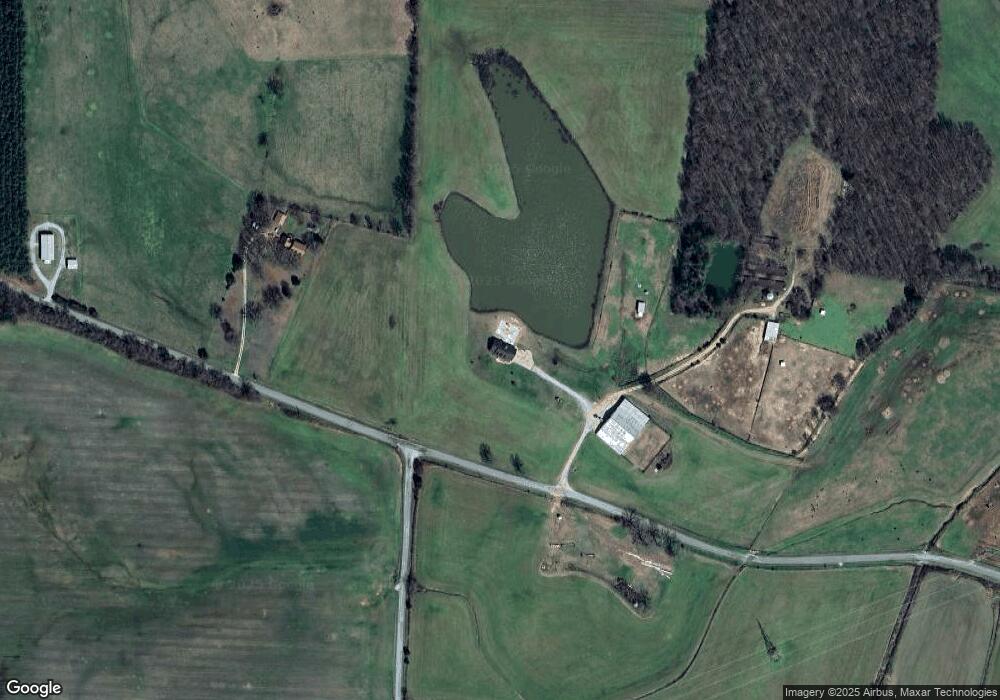
Map
Nearby Homes
- 000 Hart Cemetery Rd
- 2438 Leo Woods Rd
- 75 Crum Rd
- 5300 Mount Gilead Rd
- 935 Pearson Rd
- 0 Pearson Rd
- 000 County Line Rd
- 90 Murphy Ln
- 70 Rock Springs Rd
- 21540 Highway 22 Hwy
- 790 Roan Creek Levee Rd
- 3390 Tennessee 22
- 7 Carnal Rd
- 0 Weatherford St Unit 134445
- 1023 Strike King Dr
- 997 Strike King Dr
- 0 Excalibur Trail (Lot 255 256)
- 191 Strike King Dr
- 955 Express Way Church Rd
- 983 Strike King Dr
- 3035 Dees Rd
- 2941 Dees Rd
- 8400 Highway 424
- 8575 Highway 424
- 8525 Highway 424
- 8525 Highway 424
- 2640 Dees Rd
- 2652 Dees Rd
- 8230 Highway 424
- 2641 Dees Rd
- 8265 Highway 424
- 8735 Highway 424
- 8795 Highway 424
- 8920 Highway 424
- 8115 Highway 424
- 8115 Highway 424
- 715 Cook Rd
- 3970 Dees Rd
- 800 Cook Rd
- 7817 Highway 424