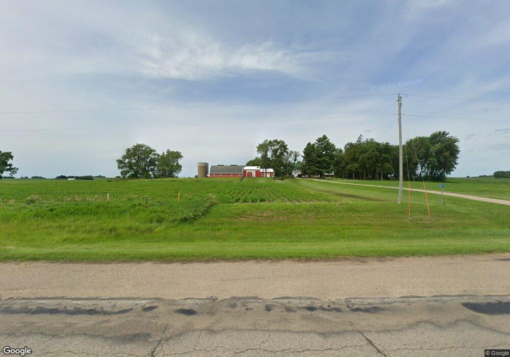
3175 Highway 69 Forest City, IA 50436
Estimated Value: $400,000 - $604,000
4
Beds
1
Bath
2,040
Sq Ft
$249/Sq Ft
Est. Value
About This Home
This home is located at 3175 Highway 69, Forest City, IA 50436 and is currently estimated at $508,629, approximately $249 per square foot. 3175 Highway 69 is a home located in Hancock County with nearby schools including Forest City Elementary School, Forest City Middle School, and Forest City High School.
Ownership History
Date
Name
Owned For
Owner Type
Purchase Details
Closed on
Nov 15, 2023
Sold by
Rockow Elwyn G and Rockow Barbara J
Bought by
Elwyn G Rockow Revocable Trust and Barbara J Rockow Revocable Trust
Current Estimated Value
Purchase Details
Closed on
Jan 3, 2006
Sold by
Rockow Merlin and Rockow Judy
Bought by
Rockow Elwyn
Home Financials for this Owner
Home Financials are based on the most recent Mortgage that was taken out on this home.
Original Mortgage
$230,000
Interest Rate
6.3%
Mortgage Type
Farmers Home Administration
Create a Home Valuation Report for This Property
The Home Valuation Report is an in-depth analysis detailing your home's value as well as a comparison with similar homes in the area
Home Values in the Area
Average Home Value in this Area
Purchase History
| Date | Buyer | Sale Price | Title Company |
|---|---|---|---|
| Elwyn G Rockow Revocable Trust | -- | None Listed On Document | |
| Rockow Elwyn | $270,000 | None Available |
Source: Public Records
Mortgage History
| Date | Status | Borrower | Loan Amount |
|---|---|---|---|
| Previous Owner | Rockow Elwyn | $230,000 |
Source: Public Records
Tax History Compared to Growth
Tax History
| Year | Tax Paid | Tax Assessment Tax Assessment Total Assessment is a certain percentage of the fair market value that is determined by local assessors to be the total taxable value of land and additions on the property. | Land | Improvement |
|---|---|---|---|---|
| 2025 | $3,608 | $410,540 | $38,310 | $372,230 |
| 2024 | $3,608 | $357,340 | $27,640 | $329,700 |
| 2023 | $3,544 | $357,340 | $27,640 | $329,700 |
| 2022 | $2,916 | $311,260 | $20,050 | $291,210 |
| 2021 | $2,678 | $245,020 | $21,730 | $223,290 |
| 2020 | $2,678 | $218,500 | $22,030 | $196,470 |
| 2019 | $2,474 | $218,500 | $22,030 | $196,470 |
| 2018 | $2,508 | $206,200 | $31,230 | $174,970 |
| 2017 | $2,514 | $201,210 | $0 | $0 |
| 2016 | $2,416 | $201,210 | $0 | $0 |
| 2015 | $2,416 | $207,930 | $0 | $0 |
| 2014 | $2,438 | $207,930 | $0 | $0 |
Source: Public Records
Map
Nearby Homes
- 3155 Highway 69
- 3190 Highway 69
- 3190 Highway 69
- 1765 320th St
- 1815 320th St
- 1815 320th St
- 3217 Highway 69
- 3215 Highway 69
- 3165 Reed Ave
- 3110 Highway 69
- 3110 Highway 69
- 3120 Highway 69
- 3111 Highway 69
- 3238 Highway 69
- 1845 320th St
- 3240 Highway 69
- 3240 Highway 69
- 3200 Reed Ave
- 3140 Reed Ave
- 3125 Reed Ave