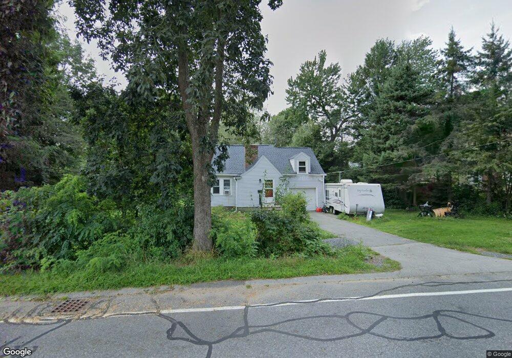
318 Maple St West Boylston, MA 01583
Estimated Value: $431,513 - $465,000
3
Beds
2
Baths
1,080
Sq Ft
$412/Sq Ft
Est. Value
About This Home
This home is located at 318 Maple St, West Boylston, MA 01583 and is currently estimated at $444,878, approximately $411 per square foot. 318 Maple St is a home located in Worcester County with nearby schools including Major Edwards Elementary School, West Boylston Junior/Senior High School, and Abby Kelley Foster Charter Public School.
Ownership History
Date
Name
Owned For
Owner Type
Purchase Details
Closed on
Jul 11, 2022
Sold by
Johns Kevin L
Bought by
Johns Kevin L and Johns Madeline
Current Estimated Value
Home Financials for this Owner
Home Financials are based on the most recent Mortgage that was taken out on this home.
Original Mortgage
$224,037
Outstanding Balance
$212,522
Interest Rate
5.09%
Mortgage Type
New Conventional
Estimated Equity
$232,356
Purchase Details
Closed on
Jun 27, 2000
Sold by
Est Sanderson Florence and Sanderson Mary C
Bought by
Johns Kevin Lyle
Home Financials for this Owner
Home Financials are based on the most recent Mortgage that was taken out on this home.
Original Mortgage
$138,000
Interest Rate
8.48%
Mortgage Type
Purchase Money Mortgage
Create a Home Valuation Report for This Property
The Home Valuation Report is an in-depth analysis detailing your home's value as well as a comparison with similar homes in the area
Home Values in the Area
Average Home Value in this Area
Purchase History
| Date | Buyer | Sale Price | Title Company |
|---|---|---|---|
| Johns Kevin L | -- | None Available | |
| Johns Kevin L | -- | None Available | |
| Johns Kevin Lyle | $146,500 | -- | |
| Johns Kevin Lyle | $146,500 | -- |
Source: Public Records
Mortgage History
| Date | Status | Borrower | Loan Amount |
|---|---|---|---|
| Open | Johns Kevin L | $224,037 | |
| Closed | Johns Kevin L | $224,037 | |
| Previous Owner | Johns Kevin Lyle | $50,000 | |
| Previous Owner | Johns Kevin Lyle | $138,000 |
Source: Public Records
Tax History Compared to Growth
Tax History
| Year | Tax Paid | Tax Assessment Tax Assessment Total Assessment is a certain percentage of the fair market value that is determined by local assessors to be the total taxable value of land and additions on the property. | Land | Improvement |
|---|---|---|---|---|
| 2025 | $45 | $326,500 | $102,000 | $224,500 |
| 2024 | $4,345 | $294,000 | $102,000 | $192,000 |
| 2023 | $4,414 | $283,300 | $101,200 | $182,100 |
| 2022 | $4,139 | $234,100 | $101,200 | $132,900 |
| 2021 | $63 | $225,300 | $98,100 | $127,200 |
| 2020 | $4,050 | $217,600 | $98,100 | $119,500 |
| 2019 | $3,919 | $207,900 | $98,100 | $109,800 |
| 2018 | $2,864 | $204,100 | $98,100 | $106,000 |
| 2017 | $31 | $194,400 | $98,100 | $96,300 |
| 2016 | $3,458 | $187,400 | $91,400 | $96,000 |
| 2015 | $3,312 | $180,600 | $90,500 | $90,100 |
Source: Public Records
Map
Nearby Homes
- 12 Birchbrush Ln
- 740 Burncoat St Unit B
- 1 Highland Ave
- 156 Hillside Village Dr
- 1110 W Boylston St Unit A
- 33 Meola Ave
- 7 Christy Ct
- 33 Isleboro St
- 39 Meola Ave
- 1097 W Boylston St
- 83 Hillside Village Dr
- 29 Isleboro St
- 59 Santoro Rd
- 97 Hillside Village Dr
- 39 Davidson Rd
- 44 Dixfield St
- 31 Danielles Way
- 22 Danielles Way
- 26 Danielles Way
- 12 Dixfield Rd