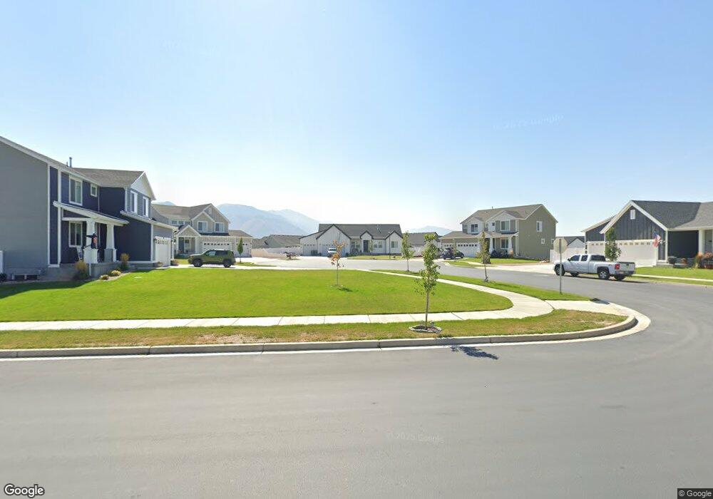
318 S Thomas Cir Mapleton, UT 84664
Estimated Value: $737,000 - $875,039
3
Beds
3
Baths
4,200
Sq Ft
$193/Sq Ft
Est. Value
About This Home
This home is located at 318 S Thomas Cir, Mapleton, UT 84664 and is currently estimated at $810,010, approximately $192 per square foot. 318 S Thomas Cir is a home located in Utah County with nearby schools including Maple Ridge Elementary, Mapleton Junior High School, and Maple Mountain High School.
Ownership History
Date
Name
Owned For
Owner Type
Purchase Details
Closed on
Aug 5, 2025
Sold by
Patten Deven and Patten Kirstin
Bought by
Deven And Kirstin Patten Family Trust and Patten
Current Estimated Value
Purchase Details
Closed on
Sep 23, 2022
Sold by
Sokol Reese A
Bought by
Patten Deven and Patten Kirstin
Home Financials for this Owner
Home Financials are based on the most recent Mortgage that was taken out on this home.
Original Mortgage
$469,900
Interest Rate
5.22%
Mortgage Type
New Conventional
Purchase Details
Closed on
Feb 3, 2020
Sold by
D R Horton Inc
Bought by
Sokol Reese A and Sokol Sandra A
Home Financials for this Owner
Home Financials are based on the most recent Mortgage that was taken out on this home.
Original Mortgage
$373,884
Interest Rate
3.72%
Mortgage Type
New Conventional
Create a Home Valuation Report for This Property
The Home Valuation Report is an in-depth analysis detailing your home's value as well as a comparison with similar homes in the area
Home Values in the Area
Average Home Value in this Area
Purchase History
| Date | Buyer | Sale Price | Title Company |
|---|---|---|---|
| Deven And Kirstin Patten Family Trust | -- | None Listed On Document | |
| Patten Deven | -- | Metro National Title | |
| Sokol Reese A | -- | Cottonwood Ttl Ins Agcy Inc |
Source: Public Records
Mortgage History
| Date | Status | Borrower | Loan Amount |
|---|---|---|---|
| Previous Owner | Patten Deven | $469,900 | |
| Previous Owner | Sokol Reese A | $373,884 |
Source: Public Records
Tax History
| Year | Tax Paid | Tax Assessment Tax Assessment Total Assessment is a certain percentage of the fair market value that is determined by local assessors to be the total taxable value of land and additions on the property. | Land | Improvement |
|---|---|---|---|---|
| 2025 | $3,875 | $437,250 | -- | -- |
| 2024 | $3,875 | $379,610 | $0 | $0 |
| 2023 | $3,610 | $355,905 | $0 | $0 |
| 2022 | $3,482 | $339,405 | $0 | $0 |
| 2021 | $2,923 | $437,400 | $161,600 | $275,800 |
| 2020 | $2,331 | $337,500 | $146,900 | $190,600 |
Source: Public Records
Map
Nearby Homes
- 442 S Doubleday St
- 2559 W Aurora Ave Unit 292
- 76-307 S Crimson Way
- 65-300 S Starlight Ln
- 2458 W Aurora Ave Unit 287
- 18 S Crimson Way Unit 304
- 21 S Crimson Way Unit 310
- 80 S Moonlit Rd
- 121 S Crimson Way
- 77 S Lunar Way Unit 385
- 22 S Starlight Ln
- 18-304 S Crimson Way
- 61 S Lunar Way
- 30 S Moonlit Rd
- 2414 W Santa fe Dr
- 12 S Moonlit Rd
- 21 S Lunar Way Unit 376
- 15 S Lunar Way
- 2720 W Aurora Ave
- 572 S Chamberlain St
- 296 S Thomas Cir Unit 93
- 301 S Thomas Cir Unit 91
- 2454 W Jackson St Unit 64
- 2422 W Jackson St Unit 63
- 357 S Grant St
- 335 S Grant St
- 271 S Thomas Cir Unit 90
- 276 S Thomas Cir Unit 94
- 383 S Grant St Unit 65
- 322 S Doubleday St Unit 61
- 311 S Grant St Unit 97
- 298 S Doubleday St Unit 60
- 348 S Doubleday St Unit 62
- 2541 W Hancock St
- 274 S Doubleday St Unit 59
- 2439 W Jackson St Unit 66
- 402 S Doubleday St Unit 18
- 356 S Grant St
- 336 S Grant St Unit 77
- 277 S Grant St
Your Personal Tour Guide
Ask me questions while you tour the home.