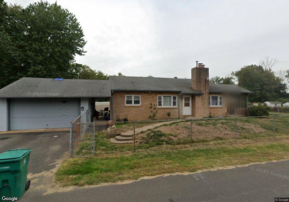
318 Spring Ave Croydon, PA 19021
Estimated Value: $328,000 - $363,000
3
Beds
2
Baths
1,161
Sq Ft
$296/Sq Ft
Est. Value
About This Home
This home is located at 318 Spring Ave, Croydon, PA 19021 and is currently estimated at $344,028, approximately $296 per square foot. 318 Spring Ave is a home located in Bucks County with nearby schools including Truman Senior High School, St. Mark Elementary School, and De La Salle Vocational School.
Ownership History
Date
Name
Owned For
Owner Type
Purchase Details
Closed on
Feb 27, 2009
Sold by
Adamson George
Bought by
Mcfadden Melissa
Current Estimated Value
Home Financials for this Owner
Home Financials are based on the most recent Mortgage that was taken out on this home.
Original Mortgage
$196,377
Outstanding Balance
$124,006
Interest Rate
5%
Mortgage Type
FHA
Estimated Equity
$220,022
Purchase Details
Closed on
Jun 15, 1954
Bought by
Adamson George and Adamson Alice T
Create a Home Valuation Report for This Property
The Home Valuation Report is an in-depth analysis detailing your home's value as well as a comparison with similar homes in the area
Home Values in the Area
Average Home Value in this Area
Purchase History
| Date | Buyer | Sale Price | Title Company |
|---|---|---|---|
| Mcfadden Melissa | $200,000 | None Available | |
| Adamson George | -- | -- |
Source: Public Records
Mortgage History
| Date | Status | Borrower | Loan Amount |
|---|---|---|---|
| Open | Mcfadden Melissa | $196,377 |
Source: Public Records
Tax History
| Year | Tax Paid | Tax Assessment Tax Assessment Total Assessment is a certain percentage of the fair market value that is determined by local assessors to be the total taxable value of land and additions on the property. | Land | Improvement |
|---|---|---|---|---|
| 2025 | $4,780 | $17,600 | $2,760 | $14,840 |
| 2024 | $4,780 | $17,600 | $2,760 | $14,840 |
| 2023 | $4,744 | $17,600 | $2,760 | $14,840 |
| 2022 | $4,744 | $17,600 | $2,760 | $14,840 |
| 2021 | $4,744 | $17,600 | $2,760 | $14,840 |
| 2020 | $4,744 | $17,600 | $2,760 | $14,840 |
| 2019 | $4,727 | $17,600 | $2,760 | $14,840 |
| 2018 | $4,651 | $17,600 | $2,760 | $14,840 |
| 2017 | $4,580 | $17,600 | $2,760 | $14,840 |
| 2016 | $4,580 | $17,600 | $2,760 | $14,840 |
| 2015 | $3,552 | $17,600 | $2,760 | $14,840 |
| 2014 | $3,552 | $17,600 | $2,760 | $14,840 |
Source: Public Records
Map
Nearby Homes
- 1706 Spencer Dr
- 2113 Pennsylvania Ave
- 1306 Spencer Dr
- 3 McLevins Ct
- 10 McLevins Ct
- 1103 Nancy Dr
- 806 Logan Ave
- 0 Newportville Rd Unit PABU2115306
- 901 Spencer Dr
- 1511 Moore St Unit 301
- 1502 Moore St Unit 304
- 730 Excelsior Ave
- 1509 Moore St Unit 202
- L:15 Dunston Rd
- 902 Laings Ave
- 807 Arthur Ave
- 1005 Arthur Ave
- 904 Arthur Ave
- 3220 Glenrose Ave
- 3301 Glenrose Ave
- 1928 Garfield Ave
- 317 Spring Ave
- 1928 Lincoln Ave
- 1922 Garfield Ave
- 1926 Lincoln Ave
- 307 Spring Ave
- 2008 Garfield Ave
- 1920 Garfield Ave
- 1924 Lincoln Ave
- 2017 Lincoln Ave
- 2012 Garfield Ave
- 2015 Garfield Ave
- 1915 Garfield Ave
- 409 Spring Ave
- 2019 Lincoln Ave
- 1920 Lincoln Ave
- 0 High St Unit 6666648
- 0 High St Unit 6666640
- 0 High St Unit 6666635
- 0 High St Unit PABU463824
Your Personal Tour Guide
Ask me questions while you tour the home.