Estimated Value: $250,643 - $408,000
3
Beds
2
Baths
2,152
Sq Ft
$156/Sq Ft
Est. Value
About This Home
This home is located at 31800 S 680 Rd, Grove, OK 74344 and is currently estimated at $336,661, approximately $156 per square foot. 31800 S 680 Rd is a home located in Delaware County with nearby schools including Grove Lower Elementary School, Grove Upper Elementary School, and Grove Middle School.
Ownership History
Date
Name
Owned For
Owner Type
Purchase Details
Closed on
Jan 26, 2023
Sold by
Hamerly Rebecca
Bought by
Hamerly Rebecca and Honeycutt Whispy L
Current Estimated Value
Purchase Details
Closed on
Sep 10, 2019
Sold by
Hamerly Rebecca
Bought by
Hamerly Rebecca and Banion Jarold W O
Purchase Details
Closed on
Oct 29, 2018
Sold by
Wisely Carl and Wisely Devin Leon
Bought by
Hamerly Rebecca
Home Financials for this Owner
Home Financials are based on the most recent Mortgage that was taken out on this home.
Original Mortgage
$160,000
Interest Rate
4.6%
Mortgage Type
New Conventional
Purchase Details
Closed on
Mar 20, 2009
Sold by
Sanders Larry H and Sanders Helen D
Bought by
Wisely Carl
Home Financials for this Owner
Home Financials are based on the most recent Mortgage that was taken out on this home.
Original Mortgage
$176,739
Interest Rate
5.21%
Mortgage Type
FHA
Create a Home Valuation Report for This Property
The Home Valuation Report is an in-depth analysis detailing your home's value as well as a comparison with similar homes in the area
Home Values in the Area
Average Home Value in this Area
Purchase History
| Date | Buyer | Sale Price | Title Company |
|---|---|---|---|
| Hamerly Rebecca | -- | None Listed On Document | |
| Hamerly Rebecca | -- | None Available | |
| Hamerly Rebecca | $220,000 | Apex Title Northeast Oklahom | |
| Wisely Carl | $180,000 | -- |
Source: Public Records
Mortgage History
| Date | Status | Borrower | Loan Amount |
|---|---|---|---|
| Previous Owner | Hamerly Rebecca | $160,000 | |
| Previous Owner | Wisely Carl | $176,739 |
Source: Public Records
Tax History Compared to Growth
Tax History
| Year | Tax Paid | Tax Assessment Tax Assessment Total Assessment is a certain percentage of the fair market value that is determined by local assessors to be the total taxable value of land and additions on the property. | Land | Improvement |
|---|---|---|---|---|
| 2025 | $2,047 | $25,277 | $2,156 | $23,121 |
| 2024 | $2,047 | $25,277 | $2,156 | $23,121 |
| 2023 | $2,047 | $25,278 | $1,438 | $23,840 |
| 2022 | $2,111 | $25,278 | $1,438 | $23,840 |
| 2021 | $2,106 | $25,278 | $1,438 | $23,840 |
| 2020 | $2,142 | $25,278 | $1,438 | $23,840 |
| 2019 | $2,149 | $25,277 | $1,010 | $24,267 |
Source: Public Records
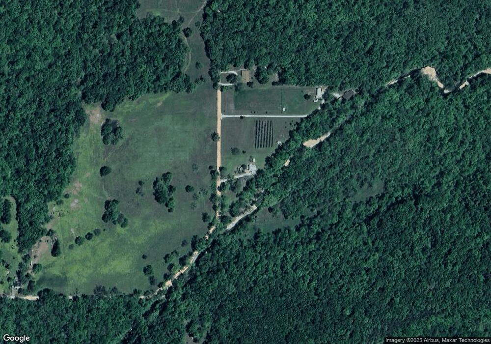
Map
Nearby Homes
- 68840 E 314 Trail
- 53402 E 332 Loop
- 0 E Corner of E 310rd & S 660rd Unit 25-1492
- 69041 E 290 Rd
- 0 Tbd 000 4355 Unit 1322974
- 32369 S 596 Rd
- 303 Farm Road Sw9097
- 658 Niogo
- 1559 Cowskin Rd
- 62185 E 270
- 33021 S 625
- TBD County Road Sw4355
- 000 Tbd SW 4355
- 63320 E 293 Rd
- 70251 E 360 Rd
- 70331 E 360 Rd
- 64551 E 350 Rd
- 0 E Rd
- TBD E 350 Road 49 Acres
- 31902 S 680 Rd
- 34499 S 680 Rd
- 34801 S 680 Rd
- 31900 S 680 Rd
- 67500 E 320 Rd
- 31350 S 680 Rd
- 32501 S 685 Rd
- 68500 E 324 Rd
- E E 324 Rd
- 67900 E 310 Rd
- 31505 S 690 Rd
- 31911 S 690 Rd
- 0 S 670 Rd Unit 20-997
- 0 S 670 Rd Unit 13-1059
- 0 S 670 Rd Unit 10-617
- 0 S 670 Rd Unit 3-987
- 0 S 670 Rd Unit 20-792
- 0 S 670 Rd Unit 1143344
- 68701 E 310 Rd