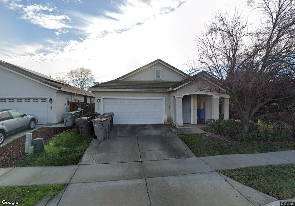
3186 Maui St West Sacramento, CA 95691
Southport NeighborhoodEstimated Value: $366,000 - $548,000
3
Beds
2
Baths
1,362
Sq Ft
$353/Sq Ft
Est. Value
About This Home
This home is located at 3186 Maui St, West Sacramento, CA 95691 and is currently estimated at $480,984, approximately $353 per square foot. 3186 Maui St is a home located in Yolo County with nearby schools including Bridgeway Island Elementary School, River City High, and Empowering Possibilities International Charter School.
Ownership History
Date
Name
Owned For
Owner Type
Purchase Details
Closed on
Aug 13, 2001
Sold by
Beazer Homes Holdings Corp
Bought by
Kite Rachel
Current Estimated Value
Home Financials for this Owner
Home Financials are based on the most recent Mortgage that was taken out on this home.
Original Mortgage
$170,445
Outstanding Balance
$66,199
Interest Rate
7.09%
Estimated Equity
$414,785
Create a Home Valuation Report for This Property
The Home Valuation Report is an in-depth analysis detailing your home's value as well as a comparison with similar homes in the area
Home Values in the Area
Average Home Value in this Area
Purchase History
| Date | Buyer | Sale Price | Title Company |
|---|---|---|---|
| Kite Rachel | $176,000 | First American Title Ins Co |
Source: Public Records
Mortgage History
| Date | Status | Borrower | Loan Amount |
|---|---|---|---|
| Open | Kite Rachel | $170,445 |
Source: Public Records
Tax History Compared to Growth
Tax History
| Year | Tax Paid | Tax Assessment Tax Assessment Total Assessment is a certain percentage of the fair market value that is determined by local assessors to be the total taxable value of land and additions on the property. | Land | Improvement |
|---|---|---|---|---|
| 2025 | $4,754 | $259,561 | $71,142 | $188,419 |
| 2023 | $4,754 | $249,484 | $68,381 | $181,103 |
| 2022 | $4,509 | $244,593 | $67,041 | $177,552 |
| 2021 | $4,462 | $239,798 | $65,727 | $174,071 |
| 2020 | $4,338 | $237,341 | $65,054 | $172,287 |
| 2019 | $4,286 | $232,688 | $63,779 | $168,909 |
| 2018 | $4,221 | $228,127 | $62,529 | $165,598 |
| 2017 | $4,173 | $223,654 | $61,303 | $162,351 |
| 2016 | $4,083 | $219,269 | $60,101 | $159,168 |
| 2015 | $3,849 | $215,977 | $59,199 | $156,778 |
| 2014 | $3,849 | $211,747 | $58,040 | $153,707 |
Source: Public Records
Map
Nearby Homes
- 3424 Molokai Rd
- 3580 Saint Lucia Place
- 3244 Ballena Bay Rd
- 3286 Owl Ct
- 3522 Pelican Ct
- 3226 Farallon Rd
- 3230 Longspur Ln
- 3213 Longspur Ln
- 3515 Sparrow Ct
- 3132 Tanager Ct
- 3138 Dove Ct
- 3235 Santa Cruz Rd
- 2961 Anacapa Island Ct
- 3255 Marshall Rd
- 3147 Grizzly Bay Rd
- 3348 San Salvador St
- 3315 Victoria Island Ct
- 3450 Seymour Ave
- The 3981 Plan at River's Edge
- The 4007 Plan at River's Edge
- 3192 Maui St
- 3180 Maui St
- 3198 Maui St
- 3174 Maui St
- 3324 Aleutian Island St
- 3316 Aleutian Island St
- 3332 Aleutian Island St
- 3204 Maui St
- 3168 Maui St
- 3185 Maui St
- 3179 Maui St
- 3308 Aleutian Island St
- 3189 Maui St
- 3340 Aleutian Island St
- 3210 Maui St
- 3171 Maui St
- 3193 Maui St
- 3162 Maui St
- 3199 Maui St
- 3348 Aleutian Island St