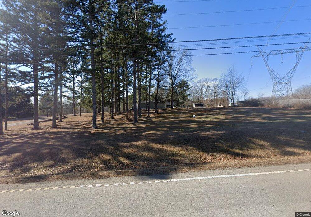
3189 Us 127 Signal Mountain, TN 37377
Estimated Value: $273,000 - $384,000
--
Bed
1
Bath
1,936
Sq Ft
$166/Sq Ft
Est. Value
About This Home
This home is located at 3189 Us 127, Signal Mountain, TN 37377 and is currently estimated at $320,604, approximately $165 per square foot. 3189 Us 127 is a home located in Sequatchie County with nearby schools including Griffith Elementary School, Sequatchie County Middle School, and Sequatchie County High School.
Ownership History
Date
Name
Owned For
Owner Type
Purchase Details
Closed on
Nov 20, 2015
Sold by
Thomas Jason Alan
Bought by
Miller Rachel Denise
Current Estimated Value
Purchase Details
Closed on
Oct 28, 2002
Sold by
Federal National Mortgage Association
Bought by
Jason Thomas
Purchase Details
Closed on
Mar 15, 2002
Sold by
Mclure Kenneth S and Mclure Kelli C
Bought by
Federal National Mtg Assoc
Purchase Details
Closed on
Jun 29, 1996
Sold by
Tammela Gray
Bought by
Kenneth Mclure
Purchase Details
Closed on
Jun 24, 1996
Bought by
Mclure Kenneth S & Wife %Countrywide Home Loa
Purchase Details
Closed on
Aug 8, 1995
Bought by
Tammela Gray
Create a Home Valuation Report for This Property
The Home Valuation Report is an in-depth analysis detailing your home's value as well as a comparison with similar homes in the area
Home Values in the Area
Average Home Value in this Area
Purchase History
| Date | Buyer | Sale Price | Title Company |
|---|---|---|---|
| Miller Rachel Denise | -- | -- | |
| Jason Thomas | $72,500 | -- | |
| Federal National Mtg Assoc | $52,538 | -- | |
| Kenneth Mclure | $67,750 | -- | |
| Mclure Kenneth S & Wife %Countrywide Home Loa | $67,800 | -- | |
| Tammela Gray | $67,500 | -- |
Source: Public Records
Tax History Compared to Growth
Tax History
| Year | Tax Paid | Tax Assessment Tax Assessment Total Assessment is a certain percentage of the fair market value that is determined by local assessors to be the total taxable value of land and additions on the property. | Land | Improvement |
|---|---|---|---|---|
| 2024 | $734 | $39,975 | $7,750 | $32,225 |
| 2023 | $734 | $39,975 | $7,750 | $32,225 |
| 2022 | $626 | $25,625 | $4,800 | $20,825 |
| 2021 | $678 | $27,775 | $4,800 | $22,975 |
| 2020 | $678 | $27,775 | $4,800 | $22,975 |
| 2019 | $678 | $27,775 | $4,800 | $22,975 |
| 2018 | $678 | $27,775 | $4,800 | $22,975 |
| 2017 | $678 | $27,775 | $4,800 | $22,975 |
| 2016 | $727 | $28,300 | $5,325 | $22,975 |
| 2015 | $727 | $28,300 | $5,325 | $22,975 |
| 2014 | $663 | $25,800 | $5,325 | $20,475 |
Source: Public Records
Map
Nearby Homes
- 0 Dandy Rd Unit 1512628
- 2803 Us 127
- 0 Clear Brooks Dr Unit RTC2912326
- 0 Clear Brooks Dr Unit 1506809
- 460 Spring Dr
- 43 Miller Cove Cir
- 361 Pine Ridge Dr
- 71 Miller Cove Cir
- 17 Wild Iris Ln
- 143 Walden Dr
- 2385 Clear Brooks Dr
- 81 Horseshoe Bend Rd
- 763 U S 127
- 50 Horseshoe Bend Rd E
- 342 Miller Rd
- 316 Brock Creek Trail
- 720 Miller Rd
- 3362 Clear Brooks Dr
- 78 Gray Rd
- 118 Beaten Path Rd
