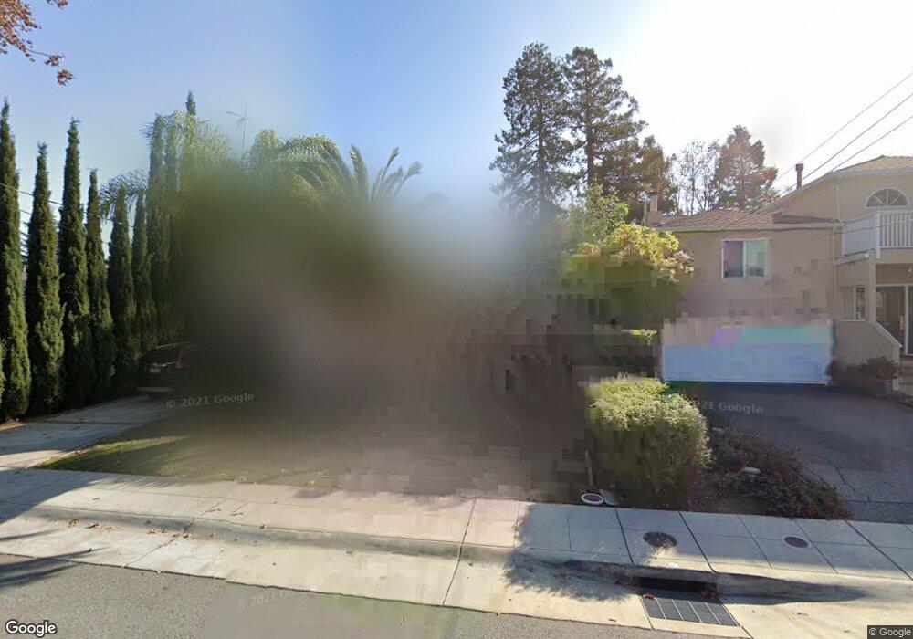
319 22nd Ave San Mateo, CA 94403
Beresford Park NeighborhoodEstimated Value: $2,626,272 - $3,171,000
5
Beds
3
Baths
2,370
Sq Ft
$1,202/Sq Ft
Est. Value
About This Home
This home is located at 319 22nd Ave, San Mateo, CA 94403 and is currently estimated at $2,847,568, approximately $1,201 per square foot. 319 22nd Ave is a home located in San Mateo County with nearby schools including Beresford Elementary School, Abbott Middle School, and Aragon High School.
Ownership History
Date
Name
Owned For
Owner Type
Purchase Details
Closed on
Aug 25, 2017
Sold by
Stokesberry Angilee
Bought by
Stokesberry Angilee and The Angilee Stokesberry Revoca
Current Estimated Value
Purchase Details
Closed on
Dec 5, 2014
Sold by
Stokesberry Angilee
Bought by
Stokesberry Angilee
Home Financials for this Owner
Home Financials are based on the most recent Mortgage that was taken out on this home.
Original Mortgage
$509,700
Outstanding Balance
$390,858
Interest Rate
3.95%
Mortgage Type
New Conventional
Estimated Equity
$2,456,710
Purchase Details
Closed on
Jan 16, 2014
Sold by
Stokesberry Eric J and Stokesberry Angilee
Bought by
Stokesberry Angilee
Purchase Details
Closed on
Mar 23, 2001
Sold by
Weidner George F and Weidner Maria
Bought by
Stokesberry Eric J and Stokesberry Angilee
Home Financials for this Owner
Home Financials are based on the most recent Mortgage that was taken out on this home.
Original Mortgage
$650,000
Interest Rate
7%
Purchase Details
Closed on
Jul 20, 1998
Sold by
Tsai Jack
Bought by
Weidner George F and Weidner Maria
Home Financials for this Owner
Home Financials are based on the most recent Mortgage that was taken out on this home.
Original Mortgage
$286,500
Interest Rate
7.37%
Purchase Details
Closed on
Oct 3, 1997
Sold by
Lanier Peggy R
Bought by
Tsai Jack
Home Financials for this Owner
Home Financials are based on the most recent Mortgage that was taken out on this home.
Original Mortgage
$295,600
Interest Rate
7.25%
Purchase Details
Closed on
Jul 11, 1996
Sold by
Munson Nancy L
Bought by
Lanier Peggy R
Home Financials for this Owner
Home Financials are based on the most recent Mortgage that was taken out on this home.
Original Mortgage
$300,000
Interest Rate
8.3%
Purchase Details
Closed on
Feb 25, 1994
Sold by
Hunson Lawrence H
Bought by
Munson Nancy L
Home Financials for this Owner
Home Financials are based on the most recent Mortgage that was taken out on this home.
Original Mortgage
$267,000
Interest Rate
4.62%
Create a Home Valuation Report for This Property
The Home Valuation Report is an in-depth analysis detailing your home's value as well as a comparison with similar homes in the area
Home Values in the Area
Average Home Value in this Area
Purchase History
| Date | Buyer | Sale Price | Title Company |
|---|---|---|---|
| Stokesberry Angilee | -- | None Available | |
| Stokesberry Angilee | -- | None Available | |
| Stokesberry Angilee | -- | None Available | |
| Stokesberry Eric J | $950,000 | Old Republic Title Company | |
| Weidner George F | $387,000 | First American Title Co | |
| Tsai Jack | -- | First American Title Co | |
| Tsai Jack | $369,500 | Old Republic Title Ins Compa | |
| Lanier Peggy R | $325,500 | North American Title Co | |
| Munson Nancy L | -- | Commonwealth Land Title Co |
Source: Public Records
Mortgage History
| Date | Status | Borrower | Loan Amount |
|---|---|---|---|
| Open | Stokesberry Angilee | $509,700 | |
| Closed | Stokesberry Eric J | $650,000 | |
| Previous Owner | Weidner George F | $286,500 | |
| Previous Owner | Tsai Jack | $295,600 | |
| Previous Owner | Lanier Peggy R | $300,000 | |
| Previous Owner | Munson Nancy L | $267,000 |
Source: Public Records
Tax History Compared to Growth
Tax History
| Year | Tax Paid | Tax Assessment Tax Assessment Total Assessment is a certain percentage of the fair market value that is determined by local assessors to be the total taxable value of land and additions on the property. | Land | Improvement |
|---|---|---|---|---|
| 2025 | $17,815 | $1,431,488 | $715,744 | $715,744 |
| 2023 | $17,815 | $1,375,902 | $687,951 | $687,951 |
| 2022 | $16,705 | $1,348,924 | $674,462 | $674,462 |
| 2021 | $17,310 | $1,322,476 | $661,238 | $661,238 |
| 2020 | $16,093 | $1,308,916 | $654,458 | $654,458 |
| 2019 | $15,550 | $1,283,252 | $641,626 | $641,626 |
| 2018 | $14,911 | $1,258,092 | $629,046 | $629,046 |
| 2017 | $14,451 | $1,233,424 | $616,712 | $616,712 |
| 2016 | $14,187 | $1,209,240 | $604,620 | $604,620 |
| 2015 | $13,927 | $1,191,078 | $595,539 | $595,539 |
| 2014 | $13,555 | $1,167,748 | $583,874 | $583,874 |
Source: Public Records
Map
Nearby Homes
- 467 22nd Ave
- 35 W 20th Ave Unit 113
- 35 W 20th Ave Unit 205
- 2615 Alameda de Las Pulgas
- 2001 Alameda de Las Pulgas Unit 174
- 430 27th Ave
- 1919 Alameda de Las Pulgas Unit 126
- 1919 Alameda de Las Pulgas Unit 80
- 1919 Alameda de Las Pulgas Unit 38
- 1919 Alameda de Las Pulgas Unit 26
- 1931 Palm Ave
- 1927 Palm Ave
- 225 28th Ave
- 35 28th Ave Unit 106B
- 1705 Palm Ave Unit 19
- 30 16th Ave
- 800 26th Ave
- 441 Hobart Ave
- 529 Hobart Ave
- 2506 Sage St