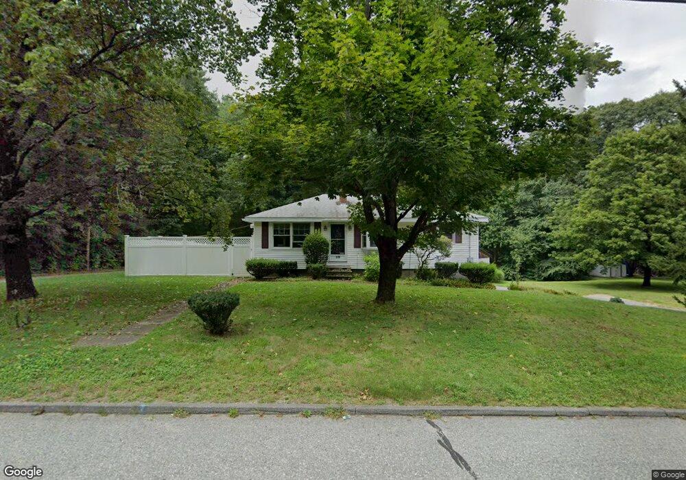
319 Douglas St Uxbridge, MA 01569
Estimated Value: $413,000 - $488,000
3
Beds
2
Baths
1,176
Sq Ft
$378/Sq Ft
Est. Value
About This Home
This home is located at 319 Douglas St, Uxbridge, MA 01569 and is currently estimated at $445,060, approximately $378 per square foot. 319 Douglas St is a home located in Worcester County with nearby schools including Uxbridge High School, Our Lady of the Valley Regional School, and Whitinsville Christian School.
Ownership History
Date
Name
Owned For
Owner Type
Purchase Details
Closed on
Sep 25, 2008
Sold by
Blackburn Jean E
Bought by
Hensel Scott C
Current Estimated Value
Home Financials for this Owner
Home Financials are based on the most recent Mortgage that was taken out on this home.
Original Mortgage
$152,000
Outstanding Balance
$101,753
Interest Rate
6.57%
Mortgage Type
Purchase Money Mortgage
Estimated Equity
$343,307
Create a Home Valuation Report for This Property
The Home Valuation Report is an in-depth analysis detailing your home's value as well as a comparison with similar homes in the area
Home Values in the Area
Average Home Value in this Area
Purchase History
| Date | Buyer | Sale Price | Title Company |
|---|---|---|---|
| Hensel Scott C | $205,000 | -- |
Source: Public Records
Mortgage History
| Date | Status | Borrower | Loan Amount |
|---|---|---|---|
| Open | Hensel Scott C | $152,000 |
Source: Public Records
Tax History Compared to Growth
Tax History
| Year | Tax Paid | Tax Assessment Tax Assessment Total Assessment is a certain percentage of the fair market value that is determined by local assessors to be the total taxable value of land and additions on the property. | Land | Improvement |
|---|---|---|---|---|
| 2025 | $48 | $369,700 | $149,600 | $220,100 |
| 2024 | $4,435 | $343,300 | $141,900 | $201,400 |
| 2023 | $4,076 | $292,200 | $122,700 | $169,500 |
| 2022 | $3,933 | $259,400 | $107,400 | $152,000 |
| 2021 | $4,067 | $257,100 | $105,100 | $152,000 |
| 2020 | $4,071 | $243,200 | $103,500 | $139,700 |
| 2019 | $4,174 | $240,600 | $103,500 | $137,100 |
| 2018 | $3,942 | $229,600 | $103,500 | $126,100 |
| 2017 | $3,607 | $212,700 | $102,200 | $110,500 |
| 2016 | $3,725 | $212,000 | $90,100 | $121,900 |
| 2015 | $3,654 | $210,000 | $90,100 | $119,900 |
Source: Public Records
Map
Nearby Homes
- Layla Plan at Pine Ridge
- Ashley Plan at Pine Ridge
- Lily Plan at Pine Ridge
- Brooklyn Plan at Pine Ridge
- Tucker Plan at Pine Ridge
- Everleigh Plan at Pine Ridge
- 100 Spring Hill Dr Unit 100
- 128 Mantell Rd
- 60 Tyler Dr
- 288 High St
- 395 High St
- 33 Summerfield Dr Unit 33
- 138 Mantell Rd
- 145 Mantell Rd
- 169 Mantell Rd
- 137 Mantell Rd
- 7 Jefferson Ct Unit 7
- 36 Elm St
- 48 Homeward Ave
- 307 N Main St
- 313 Douglas St
- 327 Douglas St
- 316 Douglas St
- 321 Douglas St
- 305 Douglas St
- 335 Douglas St
- 308 Douglas St
- 332 Douglas St
- 310 Douglas St
- 347 Douglas St
- 298 Douglas St
- 35 Cold Spring Dr
- 359 Douglas St
- 61 Willow Ln
- 358 Douglas St
- 354 Douglas St
- 292 Douglas St
- 288 Douglas St
- 30 Cold Spring Dr
- 270 Hazel St