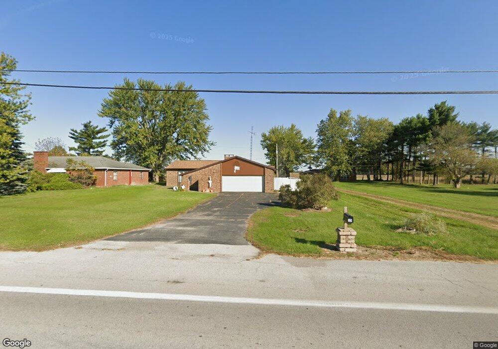
319 E Wapakoneta St Waynesfield, OH 45896
Estimated Value: $122,000 - $162,000
1
Bed
1
Bath
1,352
Sq Ft
$108/Sq Ft
Est. Value
About This Home
This home is located at 319 E Wapakoneta St, Waynesfield, OH 45896 and is currently estimated at $145,359, approximately $107 per square foot. 319 E Wapakoneta St is a home located in Auglaize County with nearby schools including Waynesfield-Goshen Local Elementary School and Waynesfield-Goshen Local High School.
Ownership History
Date
Name
Owned For
Owner Type
Purchase Details
Closed on
Jul 7, 2025
Sold by
Sheriff Of Auglaize County
Bought by
Dawson David
Current Estimated Value
Purchase Details
Closed on
Nov 13, 2017
Sold by
Tate Michael L and Tate Pamela J
Bought by
Miller Mark A and Miller Julie
Home Financials for this Owner
Home Financials are based on the most recent Mortgage that was taken out on this home.
Original Mortgage
$77,272
Interest Rate
3.91%
Mortgage Type
New Conventional
Purchase Details
Closed on
Oct 16, 2003
Sold by
Pepple J Ronald
Bought by
Tate Michael L
Create a Home Valuation Report for This Property
The Home Valuation Report is an in-depth analysis detailing your home's value as well as a comparison with similar homes in the area
Home Values in the Area
Average Home Value in this Area
Purchase History
| Date | Buyer | Sale Price | Title Company |
|---|---|---|---|
| Dawson David | $70,100 | None Listed On Document | |
| Miller Mark A | $74,500 | Republic Title Agency Inc | |
| Tate Michael L | -- | -- |
Source: Public Records
Mortgage History
| Date | Status | Borrower | Loan Amount |
|---|---|---|---|
| Previous Owner | Miller Mark A | $77,272 |
Source: Public Records
Tax History Compared to Growth
Tax History
| Year | Tax Paid | Tax Assessment Tax Assessment Total Assessment is a certain percentage of the fair market value that is determined by local assessors to be the total taxable value of land and additions on the property. | Land | Improvement |
|---|---|---|---|---|
| 2024 | $2,325 | $35,940 | $5,270 | $30,670 |
| 2023 | $2,199 | $35,940 | $5,270 | $30,670 |
| 2022 | $1,277 | $28,660 | $4,400 | $24,260 |
| 2021 | $1,261 | $28,660 | $4,400 | $24,260 |
| 2020 | $1,243 | $28,658 | $4,396 | $24,262 |
| 2019 | $1,018 | $23,975 | $3,661 | $20,314 |
| 2018 | $993 | $23,975 | $3,661 | $20,314 |
| 2017 | $990 | $23,975 | $3,661 | $20,314 |
| 2016 | $890 | $21,764 | $3,490 | $18,274 |
| 2015 | $906 | $21,764 | $3,490 | $18,274 |
| 2014 | $891 | $21,764 | $3,490 | $18,274 |
| 2013 | $983 | $21,764 | $3,490 | $18,274 |
Source: Public Records
Map
Nearby Homes
- 25836 Ohio 67
- 202 W Mulberry St
- 105 Guthrie St
- 8150 Amherst Rd
- 22275 Buckland Holden Rd
- 5065 Amherst Rd
- 20630 State Route 67
- 17 E Walnut St
- 37 N Main St
- 0 Ohio 67
- 7165 Faulkner Rd
- 6616 Bellefontaine Rd
- 11352 N Township Road 88
- 6381 McPheron Rd
- 12102 Shannon Dr Unit 89
- 12015 Holly Dr
- 11773 Sunview Ave
- 11579 Cooper Ave
- 13793 Ohio 235 Unit 75
- 0 Ohio 235
- 319 E Wapakoneta St
- 317 E Wapakoneta St
- 321 E Wapakoneta St
- 316 E Wapakoneta St
- 315 E Wapakoneta St
- 318 E Wapakoneta St
- 100 N Anthony Wayne Trail
- 314 E Wapakoneta St
- 314 E Wapakoneta St
- 323 E Wapakoneta St
- 104 N Anthony Wayne Trail
- 312 E Wapakoneta St
- 320 E Wapakoneta St
- 101 N Anthony Wayne Trail
- 324 E Wapakoneta St
- 325 E Wapakoneta St
- 310 E Wapakoneta St
- 105 N Anthony Wayne Trail
- 308 E Wapakoneta St