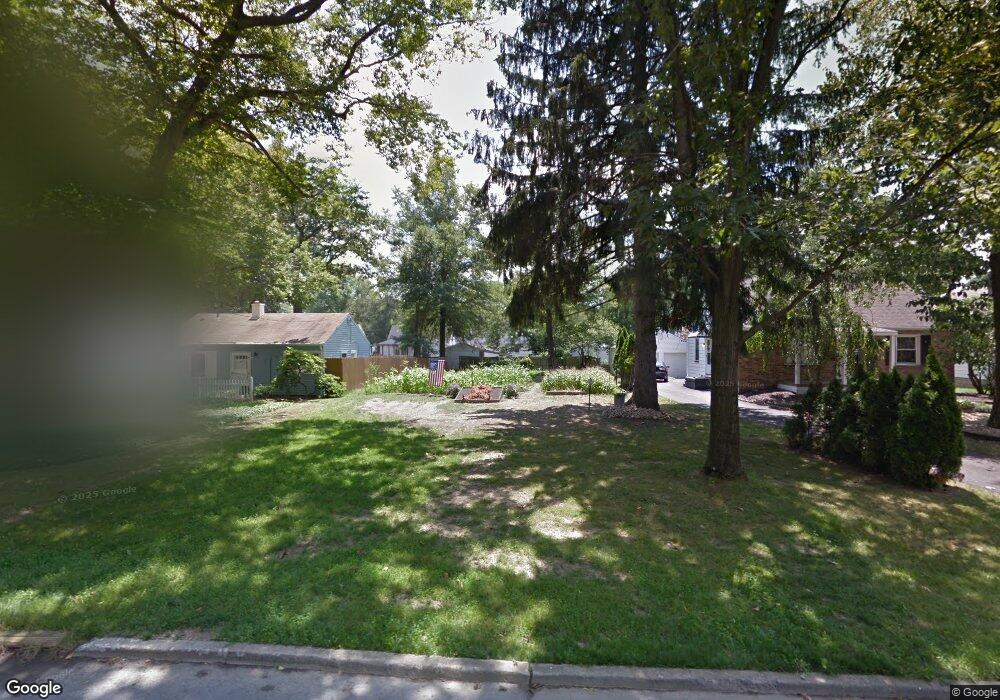
319 Erskine Ave Youngstown, OH 44512
Estimated Value: $46,000 - $292,000
4
Beds
1
Bath
1,379
Sq Ft
$123/Sq Ft
Est. Value
About This Home
This home is located at 319 Erskine Ave, Youngstown, OH 44512 and is currently estimated at $169,333, approximately $122 per square foot. 319 Erskine Ave is a home located in Mahoning County with nearby schools including Boardman Glenwood Junior High School, Boardman High School, and Horizon Science Academy - Youngstown.
Ownership History
Date
Name
Owned For
Owner Type
Purchase Details
Closed on
Jan 8, 2010
Sold by
Citifinancial Inc
Bought by
Neese Kenneth M
Current Estimated Value
Purchase Details
Closed on
Nov 4, 2009
Sold by
Cool Rosemarie and Cool Rosemarie P
Bought by
Citifinancial Inc
Purchase Details
Closed on
Apr 27, 2004
Sold by
Cool John M and Cool John Martin
Bought by
Cool Rosemarie
Purchase Details
Closed on
Dec 7, 1978
Bought by
Cool John M
Create a Home Valuation Report for This Property
The Home Valuation Report is an in-depth analysis detailing your home's value as well as a comparison with similar homes in the area
Home Values in the Area
Average Home Value in this Area
Purchase History
| Date | Buyer | Sale Price | Title Company |
|---|---|---|---|
| Neese Kenneth M | $17,500 | None Available | |
| Citifinancial Inc | $36,000 | None Available | |
| Cool Rosemarie | -- | -- | |
| Cool John M | -- | -- |
Source: Public Records
Tax History Compared to Growth
Tax History
| Year | Tax Paid | Tax Assessment Tax Assessment Total Assessment is a certain percentage of the fair market value that is determined by local assessors to be the total taxable value of land and additions on the property. | Land | Improvement |
|---|---|---|---|---|
| 2024 | $185 | $3,340 | $3,340 | -- |
| 2023 | $183 | $3,340 | $3,340 | $0 |
| 2022 | $223 | $3,170 | $3,170 | $0 |
| 2021 | $223 | $3,170 | $3,170 | $0 |
| 2020 | $224 | $3,170 | $3,170 | $0 |
| 2019 | $260 | $2,640 | $2,640 | $0 |
| 2018 | $200 | $2,640 | $2,640 | $0 |
| 2017 | $192 | $2,640 | $2,640 | $0 |
| 2016 | $198 | $2,800 | $2,800 | $0 |
| 2015 | $194 | $2,800 | $2,800 | $0 |
| 2014 | -- | $2,800 | $2,800 | $0 |
| 2013 | $193 | $2,800 | $2,800 | $0 |
Source: Public Records
Map
Nearby Homes
- 329 Afton Ave
- 167 Afton Ave
- 0 Indianola Rd
- 149 Argyle Ave
- 0 Mathews Rd Unit 5038026
- 127 Melrose Ave
- 0 Cranberry Ln Unit 5170595
- 429 Tudor Ln
- 175 Homestead Dr
- 4715 Euclid Blvd
- 424 Mathews Rd
- 81 Melrose Ave
- 6001 Applecrest Dr
- 197 Mathews Rd Unit B
- 767 Indianola Rd
- 148 Clifton Dr
- 44 Gertrude Ave
- 4552 New England Blvd
- 732 Forest Ridge Dr
- 796 Edenridge Dr
- 313 Erskine Ave
- 323 Erskine Ave
- 309 Erskine Ave
- 329 Erskine Ave
- 303 Erskine Ave
- 333 Erskine Ave
- 322 Afton Ave
- 316 Afton Ave
- 326 Afton Ave
- 310 Afton Ave
- 330 Afton Ave
- 339 Erskine Ave
- 318 Erskine Ave
- 304 Afton Ave
- 322 Erskine Ave
- 328 Erskine Ave
- 334 Afton Ave
- 312 Erskine Ave
- 343 Erskine Ave
- 304 Erskine Ave