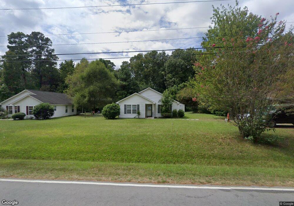
319 N Hoover Rd Durham, NC 27703
Eastern Durham NeighborhoodEstimated Value: $246,283 - $301,000
3
Beds
2
Baths
1,204
Sq Ft
$227/Sq Ft
Est. Value
About This Home
This home is located at 319 N Hoover Rd, Durham, NC 27703 and is currently estimated at $273,571, approximately $227 per square foot. 319 N Hoover Rd is a home located in Durham County with nearby schools including Merrick-Moore Elementary School, John W Neal Middle School, and Southern School of Energy & Sustainability.
Ownership History
Date
Name
Owned For
Owner Type
Purchase Details
Closed on
Jun 28, 2011
Sold by
Jhj Family Limited Partnership
Bought by
The Jhj Family Limited Partnership
Current Estimated Value
Home Financials for this Owner
Home Financials are based on the most recent Mortgage that was taken out on this home.
Original Mortgage
$226,014
Outstanding Balance
$155,931
Interest Rate
4.57%
Mortgage Type
Future Advance Clause Open End Mortgage
Estimated Equity
$117,640
Create a Home Valuation Report for This Property
The Home Valuation Report is an in-depth analysis detailing your home's value as well as a comparison with similar homes in the area
Home Values in the Area
Average Home Value in this Area
Purchase History
| Date | Buyer | Sale Price | Title Company |
|---|---|---|---|
| The Jhj Family Limited Partnership | -- | None Available |
Source: Public Records
Mortgage History
| Date | Status | Borrower | Loan Amount |
|---|---|---|---|
| Open | The Jhj Family Limited Partnership | $226,014 |
Source: Public Records
Tax History Compared to Growth
Tax History
| Year | Tax Paid | Tax Assessment Tax Assessment Total Assessment is a certain percentage of the fair market value that is determined by local assessors to be the total taxable value of land and additions on the property. | Land | Improvement |
|---|---|---|---|---|
| 2025 | $2,607 | $262,949 | $76,500 | $186,449 |
| 2024 | $1,653 | $118,516 | $19,150 | $99,366 |
| 2023 | $1,552 | $118,516 | $19,150 | $99,366 |
| 2022 | $1,517 | $118,516 | $19,150 | $99,366 |
| 2021 | $1,510 | $118,516 | $19,150 | $99,366 |
| 2020 | $1,474 | $118,516 | $19,150 | $99,366 |
| 2019 | $1,474 | $118,516 | $19,150 | $99,366 |
| 2018 | $1,371 | $101,055 | $19,150 | $81,905 |
| 2017 | $1,361 | $101,055 | $19,150 | $81,905 |
| 2016 | $1,315 | $101,055 | $19,150 | $81,905 |
| 2015 | $1,755 | $126,751 | $27,191 | $99,560 |
| 2014 | $1,755 | $126,751 | $27,191 | $99,560 |
Source: Public Records
Map
Nearby Homes
- 525 N Hoover Rd
- 2513 Rochelle St
- 113 Herbert St
- 2605 Holloway St
- 2619 Mansfield Ave
- 1121 Raynor St
- 1116 Delano St
- 2804 Lutz Ln
- 713 Heidelberg St
- 2125 Cheek Rd
- 647 N Hardee St
- 1311 Castlebay Rd
- 15 Red Sunset Ln
- 8 Elaine Cir
- 2015 Cheek Rd
- 1304 Castlebay Rd
- 1115 Benning St
- 612 Raynor St
- 610 Raynor St
- 431 Princess Anne Dr
- 315 N Hoover Rd
- 323 N Hoover Rd
- 309 N Hoover Rd
- 327 N Hoover Rd
- 216 Southerland St Unit 8
- 216 Southerland St
- 214 Southerland St
- 220 Southerland St
- 212 Southerland St
- 222 Southerland St
- 305 N Hoover Rd
- 333 N Hoover Rd
- 210 Southerland St
- 302 Southerland St
- 208 Southerland St
- 235 N Hoover Rd
- 235 N Hoover Rd Unit 235
- 403 N Hoover Rd
- 304 Southerland St
- 233 N Hoover Rd