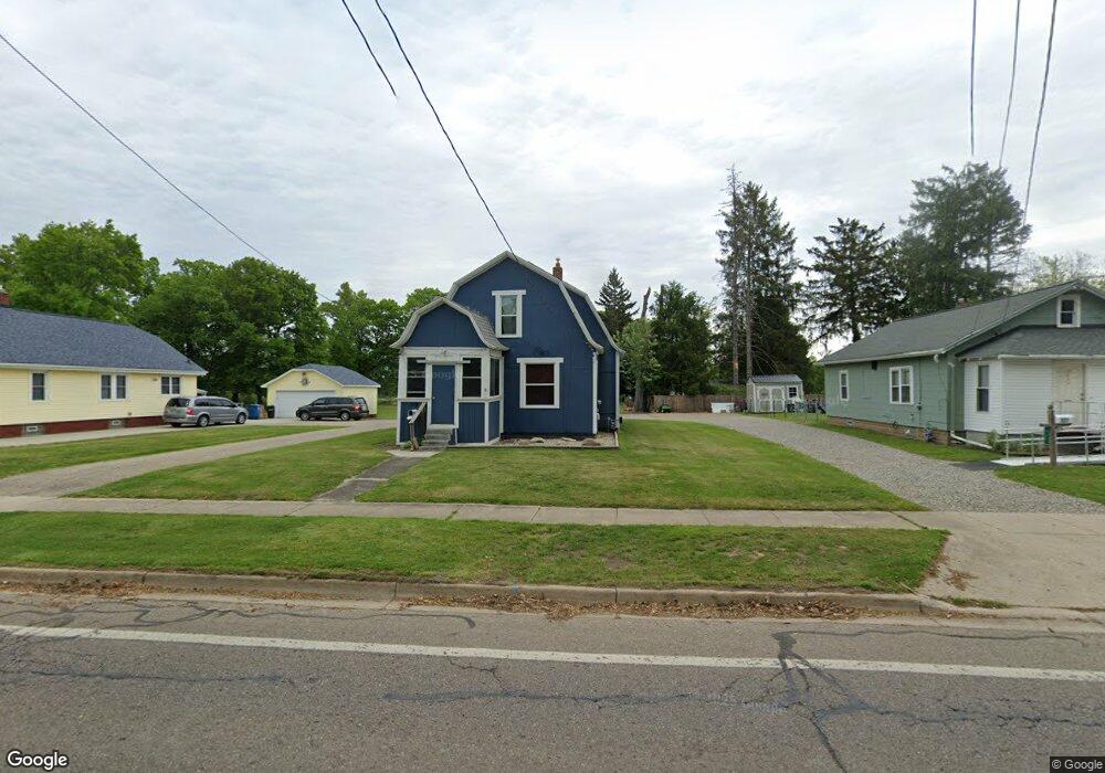
319 Riverside Dr Battle Creek, MI 49015
Central Battle Creek NeighborhoodEstimated Value: $110,000 - $140,000
2
Beds
1
Bath
1,506
Sq Ft
$84/Sq Ft
Est. Value
About This Home
This home is located at 319 Riverside Dr, Battle Creek, MI 49015 and is currently estimated at $126,030, approximately $83 per square foot. 319 Riverside Dr is a home located in Calhoun County with nearby schools including Ann J. Kellogg School, Springfield Middle School, and Battle Creek Central High School.
Ownership History
Date
Name
Owned For
Owner Type
Purchase Details
Closed on
May 24, 2017
Sold by
B J Trust
Bought by
Connor Judy E O
Current Estimated Value
Purchase Details
Closed on
Jul 31, 2007
Sold by
Oconnor William J and Oconnor Judy E
Bought by
Oconnor William J and Oconnor Judy E
Home Financials for this Owner
Home Financials are based on the most recent Mortgage that was taken out on this home.
Original Mortgage
$64,000
Interest Rate
6.71%
Mortgage Type
New Conventional
Purchase Details
Closed on
Jun 3, 2004
Sold by
Oconnor William J and Oconnor Judy E
Bought by
B Js Trust
Create a Home Valuation Report for This Property
The Home Valuation Report is an in-depth analysis detailing your home's value as well as a comparison with similar homes in the area
Home Values in the Area
Average Home Value in this Area
Purchase History
| Date | Buyer | Sale Price | Title Company |
|---|---|---|---|
| Connor Judy E O | -- | Attorney | |
| Oconnor William J | -- | Title Source Inc | |
| Oconnor William J | -- | Title Source Inc | |
| B Js Trust | -- | -- |
Source: Public Records
Mortgage History
| Date | Status | Borrower | Loan Amount |
|---|---|---|---|
| Previous Owner | Oconnor William J | $64,000 |
Source: Public Records
Tax History Compared to Growth
Tax History
| Year | Tax Paid | Tax Assessment Tax Assessment Total Assessment is a certain percentage of the fair market value that is determined by local assessors to be the total taxable value of land and additions on the property. | Land | Improvement |
|---|---|---|---|---|
| 2025 | -- | $48,200 | $0 | $0 |
| 2024 | $1,057 | $40,389 | $0 | $0 |
| 2023 | $1,345 | $38,100 | $0 | $0 |
| 2022 | $955 | $32,082 | $0 | $0 |
| 2021 | $1,278 | $30,640 | $0 | $0 |
| 2020 | $1,204 | $28,509 | $0 | $0 |
| 2019 | $1,197 | $32,453 | $0 | $0 |
| 2018 | $1,197 | $27,716 | $1,149 | $26,567 |
| 2017 | $1,165 | $21,329 | $0 | $0 |
| 2016 | $1,162 | $24,085 | $0 | $0 |
| 2015 | $1,139 | $23,829 | $9,989 | $13,840 |
| 2014 | $1,139 | $22,794 | $9,989 | $12,805 |
Source: Public Records
Map
Nearby Homes
- 3 Riverside Pkwy
- 17 Tennyson Ave
- 1 Grand Blvd
- 51 Pauline Ave
- 15 Marine Dr
- 77 Leitch Dr
- 41 Randolph St
- 32 Territorial Rd E
- 66 Cleveland St
- 57 Boulder St
- 35 Eldred St
- 71 Burnham St W
- 296 Meachem Ave
- 96 Battle Creek Ave
- 127 W Territorial Rd
- 137 Fairfield Ave
- 171 Goguac St W
- 100 Eldred St
- 503 S Shore Dr
- 235 Fairfield Ave
- 327 Riverside Dr
- 313 Riverside Dr
- 331 Riverside Dr
- 324 Riverside Dr
- 15 Sisson Ave
- 316 Riverside Dr
- 306 Riverside Dr
- 360 Riverside Dr
- 293 Riverside Dr
- 334 Riverside Dr
- 302 Riverside Dr
- 33 Sisson Ave
- 22 Sisson Ave
- 55 Logan St
- 342 Riverside Dr
- 71 Logan St
- 71 Logan St
- 294 Riverside Dr
- 85 Logan St
- 37 Sisson Ave