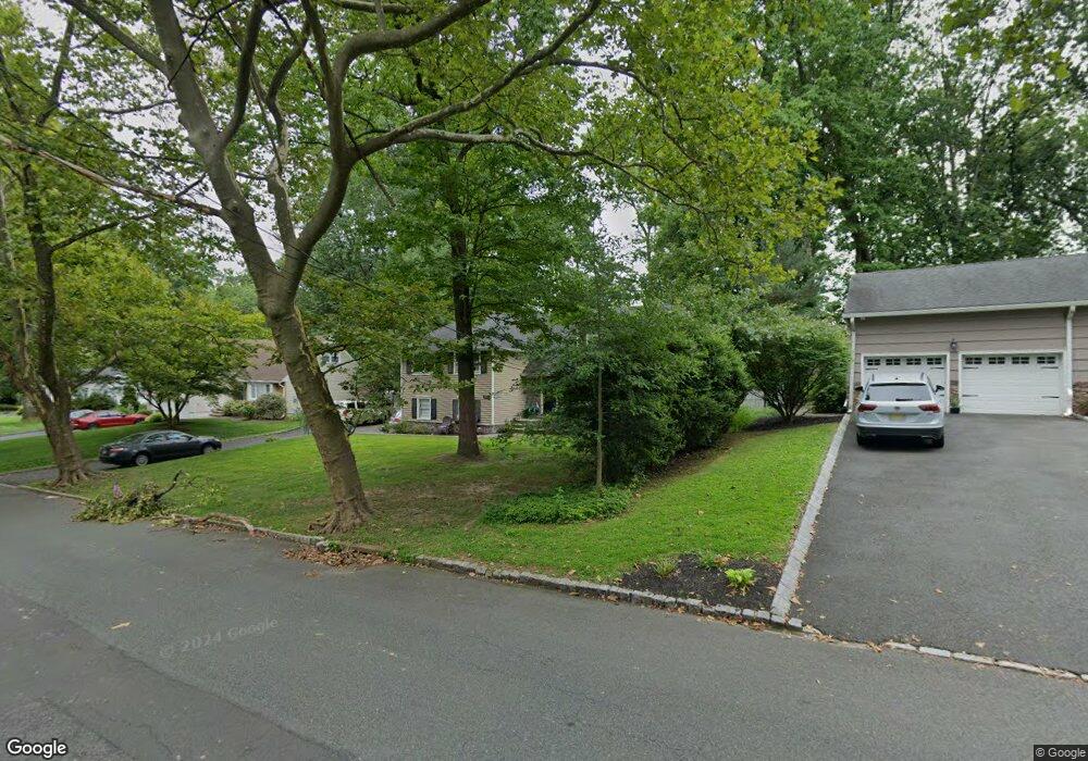
319 Rolling Rock Rd Mountainside, NJ 07092
Estimated Value: $791,143 - $990,000
Studio
--
Bath
2,048
Sq Ft
$444/Sq Ft
Est. Value
About This Home
This home is located at 319 Rolling Rock Rd, Mountainside, NJ 07092 and is currently estimated at $910,286, approximately $444 per square foot. 319 Rolling Rock Rd is a home located in Union County with nearby schools including Beechwood School and Deerfield Elementary School.
Ownership History
Date
Name
Owned For
Owner Type
Purchase Details
Closed on
Mar 12, 2004
Sold by
Cardone Anthony
Bought by
Bolkcom Charles and Bolkcom Sheri
Current Estimated Value
Home Financials for this Owner
Home Financials are based on the most recent Mortgage that was taken out on this home.
Original Mortgage
$46,000
Outstanding Balance
$21,559
Interest Rate
5.71%
Estimated Equity
$888,727
Purchase Details
Closed on
Jul 26, 1999
Sold by
Bowlby Charles H and Bowlby Betty R
Bought by
Cardone Anthony C and Cardone Janine L
Home Financials for this Owner
Home Financials are based on the most recent Mortgage that was taken out on this home.
Original Mortgage
$157,000
Interest Rate
7.61%
Create a Home Valuation Report for This Property
The Home Valuation Report is an in-depth analysis detailing your home's value as well as a comparison with similar homes in the area
Home Values in the Area
Average Home Value in this Area
Purchase History
| Date | Buyer | Sale Price | Title Company |
|---|---|---|---|
| Bolkcom Charles | $575,000 | -- | |
| Cardone Anthony C | $340,000 | First American Title Ins Co |
Source: Public Records
Mortgage History
| Date | Status | Borrower | Loan Amount |
|---|---|---|---|
| Open | Bolkcom Charles | $46,000 | |
| Previous Owner | Cardone Anthony C | $157,000 |
Source: Public Records
Tax History
| Year | Tax Paid | Tax Assessment Tax Assessment Total Assessment is a certain percentage of the fair market value that is determined by local assessors to be the total taxable value of land and additions on the property. | Land | Improvement |
|---|---|---|---|---|
| 2025 | $10,773 | $525,500 | $312,000 | $213,500 |
| 2024 | $10,447 | $525,500 | $312,000 | $213,500 |
| 2023 | $10,447 | $525,500 | $312,000 | $213,500 |
| 2022 | $10,494 | $525,500 | $312,000 | $213,500 |
| 2021 | $10,321 | $525,500 | $312,000 | $213,500 |
| 2020 | $11,323 | $151,500 | $57,000 | $94,500 |
| 2019 | $11,382 | $151,500 | $57,000 | $94,500 |
| 2018 | $11,405 | $151,500 | $57,000 | $94,500 |
| 2017 | $11,322 | $151,500 | $57,000 | $94,500 |
| 2016 | $11,064 | $151,500 | $57,000 | $94,500 |
Source: Public Records
Map
Nearby Homes
- 427 Summit Rd
- 423 Summit Rd
- 986 Chimney Ridge Dr
- 1098 Sunny Slope Dr
- 373 Upland Rd
- 35 S Derby Rd
- 701 Mountain Ave
- 14 Skylark Rd
- 3215 Park Place
- 1906 Park Place
- 272 Old Tote Rd
- 34 Ascot Way
- 206 Echo Ridge Way
- 333 Old Tote Rd
- 1113 Mountain Ave
- 559 S Springfield Ave Unit 559
- 13 Evergreen Ave
- 29 Manitou Cir
- 58a Sandra Cir Unit A2
- 19 Carol Rd
- 315 Rolling Rock Rd
- 323 Rolling Rock Rd
- 320 Old Grove Rd
- 316 Old Grove Rd
- 318 Rolling Rock Rd
- 311 Rolling Rock Rd
- 327 Rolling Rock Rd
- 314 Rolling Rock Rd
- 324 Old Grove Rd
- 322 Rolling Rock Rd
- 310 Old Grove Rd
- 310 Rolling Rock Rd
- 326 Rolling Rock Rd
- 328 Old Grove Rd
- 331 Rolling Rock Rd
- 330 Rolling Rock Rd
- 332 Old Grove Rd
- 1024 Charles St
- 1009 Charles St
- 335 Rolling Rock Rd
Your Personal Tour Guide
Ask me questions while you tour the home.