319 Sioux Rd Gunnison, CO 81230
Estimated Value: $891,000 - $933,189
3
Beds
2
Baths
1,341
Sq Ft
$679/Sq Ft
Est. Value
About This Home
This home is located at 319 Sioux Rd, Gunnison, CO 81230 and is currently estimated at $910,297, approximately $678 per square foot. 319 Sioux Rd is a home located in Gunnison County with nearby schools including Gunnison Elementary School, Crested Butte Community School, and Gunnison Middle School.
Ownership History
Date
Name
Owned For
Owner Type
Purchase Details
Closed on
Feb 16, 2024
Sold by
Leifheit Andrew Michael and Leifheit Jennifer Elain
Bought by
Aj Trust and Leifheit
Current Estimated Value
Purchase Details
Closed on
Aug 2, 2022
Sold by
Gilmore Jr Charles V
Bought by
Leifheit Andrew and Leifheit Jennifer
Home Financials for this Owner
Home Financials are based on the most recent Mortgage that was taken out on this home.
Original Mortgage
$592,500
Interest Rate
5.81%
Mortgage Type
New Conventional
Purchase Details
Closed on
Jul 15, 2005
Sold by
Prasek Leo L and Prasek Billie Joyce
Bought by
Gilmore Charles V and Gilmore Judith J
Create a Home Valuation Report for This Property
The Home Valuation Report is an in-depth analysis detailing your home's value as well as a comparison with similar homes in the area
Home Values in the Area
Average Home Value in this Area
Purchase History
| Date | Buyer | Sale Price | Title Company |
|---|---|---|---|
| Aj Trust | -- | None Listed On Document | |
| Aj Trust | -- | None Listed On Document | |
| Leifheit Andrew | -- | None Listed On Document | |
| Leifheit Andrew | $790,000 | None Listed On Document | |
| Gilmore Charles V | $220,000 | None Available |
Source: Public Records
Mortgage History
| Date | Status | Borrower | Loan Amount |
|---|---|---|---|
| Previous Owner | Leifheit Andrew | $592,500 |
Source: Public Records
Tax History Compared to Growth
Tax History
| Year | Tax Paid | Tax Assessment Tax Assessment Total Assessment is a certain percentage of the fair market value that is determined by local assessors to be the total taxable value of land and additions on the property. | Land | Improvement |
|---|---|---|---|---|
| 2024 | $1,892 | $39,910 | $5,810 | $34,100 |
| 2023 | $1,892 | $36,230 | $5,290 | $30,940 |
| 2022 | $1,336 | $22,320 | $6,290 | $16,030 |
| 2021 | $1,205 | $22,970 | $6,480 | $16,490 |
| 2020 | $1,073 | $19,310 | $5,370 | $13,940 |
| 2019 | $1,049 | $19,310 | $5,370 | $13,940 |
| 2018 | $1,042 | $18,680 | $6,400 | $12,280 |
| 2017 | $1,055 | $18,680 | $6,400 | $12,280 |
| 2016 | $992 | $17,630 | $6,820 | $10,810 |
Source: Public Records
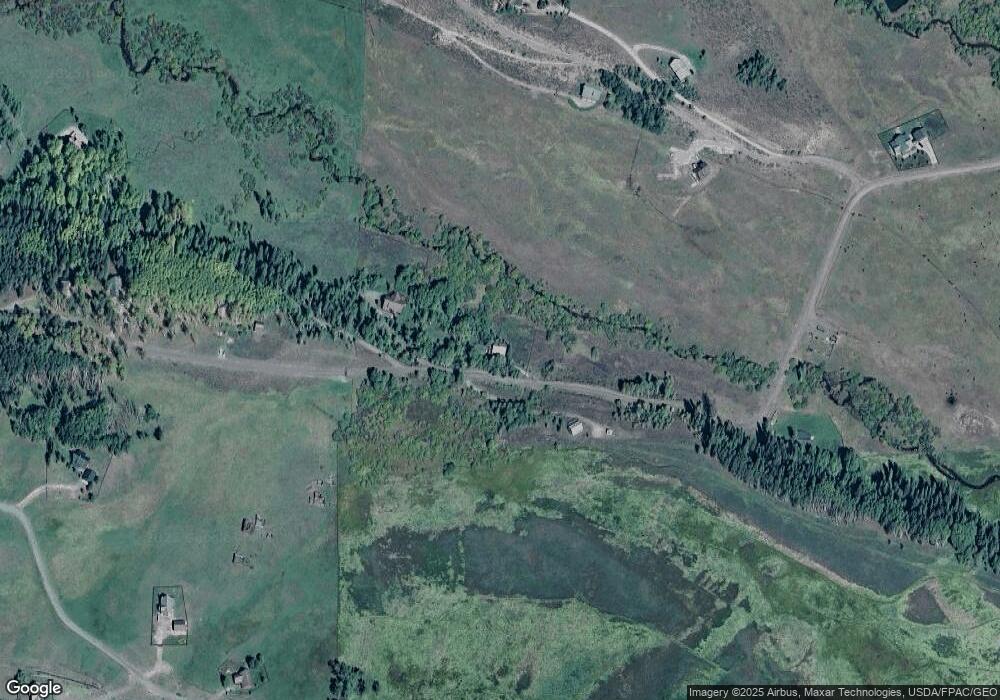
Map
Nearby Homes
- 617 Sioux Rd
- tbd Ohio Creek Rd
- 1100 Castle Dr
- 289 Star Mountain Dr
- 515 Hawk Dr
- 3750 County Road 737
- 000 Blm 3057d
- 824 County Road 826
- 8775 County Road 730
- TBD Copley Lake Rd
- 401 9th Summit
- TBD 10th St
- 980 Saddle Ridge Rd
- 3305 Wildcat Trail
- 997 Saddle Ridge Rd
- Lot 19 Hidden Mine Way
- 1610 Red Mountain Ranch Rd
- 3 Beckwith Ave
- 28 Whiterock Ave Unit 2
- 398 Journey's End Rd
- 320 Sioux Trail
- 373 Sioux Rd
- 168 Zuni Trail
- 150 Zuni Trail
- 0 Chickasaw Trail Unit 757384
- 0 Chickasaw Trail Unit 4227
- 0 Chickasaw Trail Unit 3447
- 0 Chickasaw Trail Unit 4598
- 0 Chickasaw Trail Unit 721999
- 0 Chickasaw Trail Unit 4975
- 0 Chickasaw Trail Unit 733752
- 59 Chichasaw Trail
- 453 Sioux Rd
- 214 Zuni Trail
- 196 Sioux Rd
- 173 Zuni Trail
- 215 Zuni Trail
- 0 Zuni Trail Unit 3768
- 0 Zuni Trail Unit 3878
- 0 Zuni Trail Unit 3940