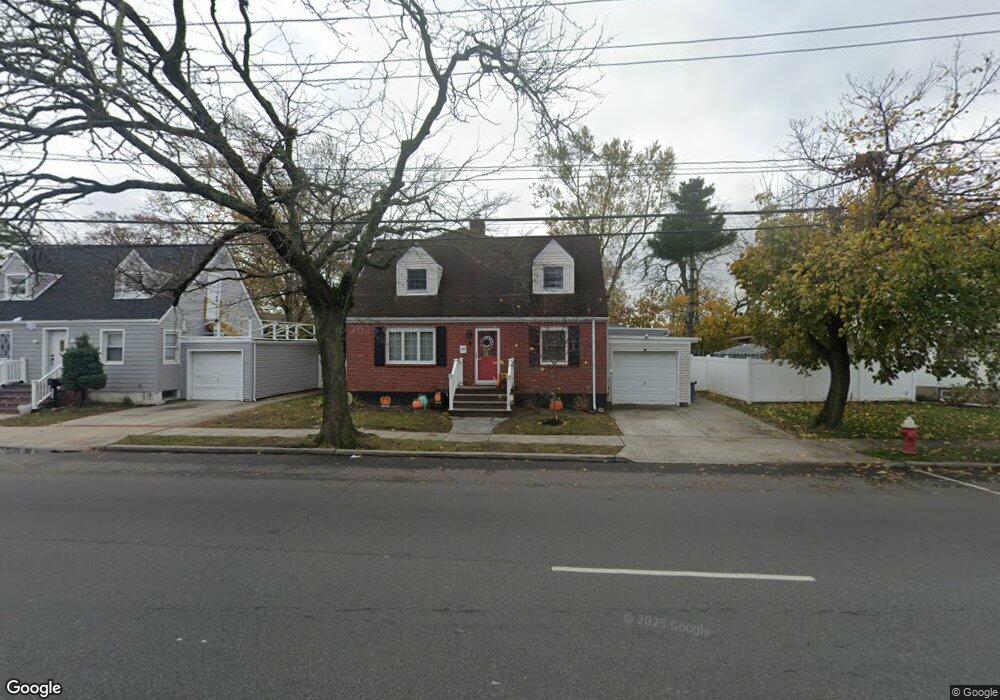
3190 Brower Ave Oceanside, NY 11572
Estimated Value: $877,328 - $948,000
--
Bed
4
Baths
2,256
Sq Ft
$405/Sq Ft
Est. Value
About This Home
This home is located at 3190 Brower Ave, Oceanside, NY 11572 and is currently estimated at $912,664, approximately $404 per square foot. 3190 Brower Ave is a home located in Nassau County with nearby schools including Oaks Elementary School - School 3, Oceanside Middle School, and Oceanside High School.
Ownership History
Date
Name
Owned For
Owner Type
Purchase Details
Closed on
Jun 12, 2000
Current Estimated Value
Purchase Details
Closed on
Nov 10, 1995
Sold by
Gomez Lucea and Gomez William
Bought by
Sanabria Ludim and Strubbe Awilda
Home Financials for this Owner
Home Financials are based on the most recent Mortgage that was taken out on this home.
Original Mortgage
$148,773
Interest Rate
7.53%
Mortgage Type
Purchase Money Mortgage
Create a Home Valuation Report for This Property
The Home Valuation Report is an in-depth analysis detailing your home's value as well as a comparison with similar homes in the area
Home Values in the Area
Average Home Value in this Area
Purchase History
| Date | Buyer | Sale Price | Title Company |
|---|---|---|---|
| -- | -- | -- | |
| -- | -- | -- | |
| Sanabria Ludim | $150,000 | -- | |
| Sanabria Ludim | $150,000 | -- |
Source: Public Records
Mortgage History
| Date | Status | Borrower | Loan Amount |
|---|---|---|---|
| Previous Owner | Sanabria Ludim | $148,773 |
Source: Public Records
Tax History Compared to Growth
Tax History
| Year | Tax Paid | Tax Assessment Tax Assessment Total Assessment is a certain percentage of the fair market value that is determined by local assessors to be the total taxable value of land and additions on the property. | Land | Improvement |
|---|---|---|---|---|
| 2025 | $13,835 | $534 | $279 | $255 |
| 2024 | $4,194 | $537 | $280 | $257 |
| 2023 | $11,961 | $548 | $286 | $262 |
| 2022 | $11,961 | $548 | $286 | $262 |
| 2021 | $15,303 | $587 | $306 | $281 |
| 2020 | $12,590 | $737 | $684 | $53 |
| 2019 | $11,281 | $790 | $701 | $89 |
| 2018 | $11,448 | $826 | $0 | $0 |
| 2017 | $6,841 | $826 | $653 | $173 |
| 2016 | $10,622 | $927 | $733 | $194 |
| 2015 | $4,053 | $927 | $653 | $274 |
| 2014 | $4,053 | $927 | $653 | $274 |
| 2013 | $3,767 | $927 | $653 | $274 |
Source: Public Records
Map
Nearby Homes
- 25 Sunnybrook Dr E
- 2941 Moreland Ave
- 3354 Knight St
- 613 Smith Place
- 31 Arthur St
- 653 Arthur St
- 647 Lincoln St
- 646 Lincoln St
- 3328 Woodward St
- 3309 Balsam St
- 3487 Anchor Place
- 2900 Yale Place
- 3432 Bayfield Blvd
- 3483 Frederick St
- 2929 Yale Place
- 2917 Yale Place
- 515 Chelsea Rd
- 3420 Woodward St
- 484 Chelsea Rd
- 528 Carpenter Ave
- 640 Waukena Ave
- 634 Waukena Ave
- 3204 Brower Ave
- 2904 Allon St
- 630 Waukena Ave
- 505 Ayers Place
- 3189 Brower Ave Unit . 1
- 3189 Brower Ave
- 2910 Allon St
- 3197 Brower Ave
- 3201 Brower Ave
- 639 Waukena Ave
- 622 Waukena Ave
- 3210 Brower Ave
- 503 Ayers Place
- 3327 Harold St
- 2918 Allon St
- 3321 Harold St
- 3331 Harold St