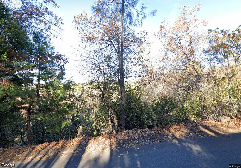
3193 Airport Rd Placerville, CA 95667
Estimated Value: $413,814 - $461,000
3
Beds
2
Baths
1,119
Sq Ft
$393/Sq Ft
Est. Value
About This Home
This home is located at 3193 Airport Rd, Placerville, CA 95667 and is currently estimated at $439,454, approximately $392 per square foot. 3193 Airport Rd is a home located in El Dorado County with nearby schools including El Dorado High School, Country Day Montessori, and El Dorado Adventist School.
Ownership History
Date
Name
Owned For
Owner Type
Purchase Details
Closed on
Jul 21, 1995
Sold by
Doolittle Andrew K and Doolittle Veronica
Bought by
Hader Joseph A and Hader Bernette C
Current Estimated Value
Home Financials for this Owner
Home Financials are based on the most recent Mortgage that was taken out on this home.
Original Mortgage
$132,637
Interest Rate
7.62%
Mortgage Type
Assumption
Create a Home Valuation Report for This Property
The Home Valuation Report is an in-depth analysis detailing your home's value as well as a comparison with similar homes in the area
Home Values in the Area
Average Home Value in this Area
Purchase History
| Date | Buyer | Sale Price | Title Company |
|---|---|---|---|
| Hader Joseph A | $131,000 | Inter County Title Co |
Source: Public Records
Mortgage History
| Date | Status | Borrower | Loan Amount |
|---|---|---|---|
| Closed | Hader Joseph A | $132,637 |
Source: Public Records
Tax History Compared to Growth
Tax History
| Year | Tax Paid | Tax Assessment Tax Assessment Total Assessment is a certain percentage of the fair market value that is determined by local assessors to be the total taxable value of land and additions on the property. | Land | Improvement |
|---|---|---|---|---|
| 2025 | $2,276 | $217,588 | $99,657 | $117,931 |
| 2024 | $2,276 | $213,322 | $97,703 | $115,619 |
| 2023 | $2,249 | $209,140 | $95,788 | $113,352 |
| 2022 | $2,218 | $205,040 | $93,910 | $111,130 |
| 2021 | $2,193 | $201,020 | $92,069 | $108,951 |
| 2020 | $2,161 | $198,959 | $91,125 | $107,834 |
| 2019 | $2,135 | $195,059 | $89,339 | $105,720 |
| 2018 | $2,072 | $191,236 | $87,588 | $103,648 |
| 2017 | $2,042 | $187,487 | $85,871 | $101,616 |
| 2016 | $2,012 | $183,812 | $84,188 | $99,624 |
| 2015 | $1,922 | $181,053 | $82,924 | $98,129 |
| 2014 | $1,922 | $177,507 | $81,300 | $96,207 |
Source: Public Records
Map
Nearby Homes
- 1890 Goldman Ln
- 2060 Broadway
- 1720 Jacobs Way
- 2970 Texas Hill Rd
- 1764 Country Club Dr
- 2900 Parkway Dr Unit 2
- 2900 Parkway Dr Unit 12
- 3560 Eskaton Dr
- 3539 Eskaton Dr
- 3740 Butterfly Ln
- 1415 Cypress Ln
- 2500 Highway 50
- 2360 Union Ridge Rd
- 3136 Baco Dr
- 1284 Roxie Way
- 1030 Lemongrass Ct
- 2399 Kingsgate Rd
- 1932 Tecolote Dr
- 2771 Morrene Dr
- 2655 Mona Dr
- 1915 Goldman Ln
- 1909 Goldman Ln
- 0 Routson Way
- 3205 Airport Rd
- 1901 Goldman Ln
- 3250 Airport Rd
- 3292 Airport Rd
- 1887 Goldman Ln
- 3200 Routson Way
- 1883 Goldman Ln
- 3212 Routson Way
- 1870 Goldman Ln
- 3181 Airport Rd
- 3350 Airport Rd
- 3206 Airport Rd
- 3334 Airport Rd
- 3360 Airport Rd
- 3169 Airport Rd
- 1963 Penny Ln
- 3182 Airport Rd
