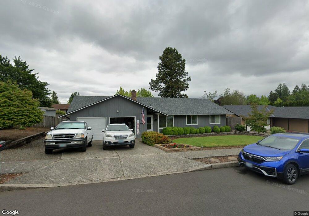
3193 SW 20th St Gresham, OR 97080
Southwest Gresham NeighborhoodEstimated Value: $416,000 - $468,000
3
Beds
2
Baths
1,400
Sq Ft
$318/Sq Ft
Est. Value
About This Home
This home is located at 3193 SW 20th St, Gresham, OR 97080 and is currently estimated at $444,620, approximately $317 per square foot. 3193 SW 20th St is a home located in Multnomah County with nearby schools including Butler Creek Elementary School, Centennial Middle School, and Centennial High School.
Ownership History
Date
Name
Owned For
Owner Type
Purchase Details
Closed on
Mar 15, 2001
Sold by
Wilder Renee
Bought by
Davis Jeff L and Davis Theresa R
Current Estimated Value
Home Financials for this Owner
Home Financials are based on the most recent Mortgage that was taken out on this home.
Original Mortgage
$147,190
Outstanding Balance
$53,286
Interest Rate
7.11%
Mortgage Type
FHA
Estimated Equity
$391,334
Create a Home Valuation Report for This Property
The Home Valuation Report is an in-depth analysis detailing your home's value as well as a comparison with similar homes in the area
Home Values in the Area
Average Home Value in this Area
Purchase History
| Date | Buyer | Sale Price | Title Company |
|---|---|---|---|
| Davis Jeff L | $149,500 | Transnation Title Insurance |
Source: Public Records
Mortgage History
| Date | Status | Borrower | Loan Amount |
|---|---|---|---|
| Open | Davis Jeff L | $147,190 |
Source: Public Records
Tax History
| Year | Tax Paid | Tax Assessment Tax Assessment Total Assessment is a certain percentage of the fair market value that is determined by local assessors to be the total taxable value of land and additions on the property. | Land | Improvement |
|---|---|---|---|---|
| 2025 | $4,164 | $219,900 | -- | -- |
| 2024 | $3,989 | $213,500 | -- | -- |
| 2023 | $3,591 | $207,290 | $0 | $0 |
| 2022 | $3,459 | $201,260 | $0 | $0 |
| 2021 | $3,471 | $195,400 | $0 | $0 |
| 2020 | $3,196 | $189,710 | $0 | $0 |
| 2019 | $3,118 | $184,190 | $0 | $0 |
| 2018 | $2,991 | $178,830 | $0 | $0 |
| 2017 | $2,891 | $173,630 | $0 | $0 |
| 2016 | $2,806 | $168,580 | $0 | $0 |
Source: Public Records
Map
Nearby Homes
- 3198 SW 16th Cir
- 3079 SW 22nd St
- 1963 SW Myers Place
- 2092 SW Thomas Place
- 2398 SW Tegart Ave
- 3605 SW 25th St
- 3857 SW Brittany Dr
- 2263 SW Phyllis Place
- 2607 SW Pleasant View Dr
- 3519 SW 28th Terrace
- 4010 SW 13th Ct
- 2652 SW Phyllis Dr
- 0 SW Battaglia Ave
- 4123 SW 26th Ct
- 2715 SW 31st St
- 3593 SW 37th St
- 3607 SW 37th St
- 2160 SW 26th St
- 3813 SW Mckinley St
- 4077 SW Mckinley St Unit 37
- 3193 SW 20th St Unit 1
- 3187 SW 20th St
- 3229 SW 20th St
- 3192 SW Binford Lake Pkwy
- 3214 SW Binford Lake Pkwy
- 3170 SW Binford Lake Pkwy
- 3190 SW 20th St
- 3251 SW 20th St
- 3141 SW 20th St
- 3174 SW 20th St
- 3250 SW Binford Lake Pkwy
- 3140 SW Binford Lake Pkwy
- 3248 SW 20th St
- 2024 SW Tegart Ave
- 3115 SW 20th St
- 3275 SW 20th St
- 2015 SW Brixton Place
- 3290 SW Binford Lake Pkwy
- 3217 SW Binford Lake Pkwy
- 3120 SW Binford Lake Pkwy
Your Personal Tour Guide
Ask me questions while you tour the home.