31975 Airport Rd Peterson, MN 55962
Estimated Value: $194,000 - $551,000
2
Beds
1
Bath
1,087
Sq Ft
$362/Sq Ft
Est. Value
About This Home
This home is located at 31975 Airport Rd, Peterson, MN 55962 and is currently estimated at $393,863, approximately $362 per square foot. 31975 Airport Rd is a home located in Fillmore County with nearby schools including Rushford-Peterson Elementary School, Rushford-Peterson Middle School, and Rushford-Peterson Senior High School.
Ownership History
Date
Name
Owned For
Owner Type
Purchase Details
Closed on
Dec 6, 2024
Sold by
Nancy M West Revocable Trust and West Nancy M
Bought by
Nancy M West Revocable Trust and West
Current Estimated Value
Purchase Details
Closed on
Feb 22, 2021
Sold by
Woxland Ruth
Bought by
Woxland James E
Home Financials for this Owner
Home Financials are based on the most recent Mortgage that was taken out on this home.
Original Mortgage
$125,125
Interest Rate
2.7%
Mortgage Type
Purchase Money Mortgage
Create a Home Valuation Report for This Property
The Home Valuation Report is an in-depth analysis detailing your home's value as well as a comparison with similar homes in the area
Home Values in the Area
Average Home Value in this Area
Purchase History
| Date | Buyer | Sale Price | Title Company |
|---|---|---|---|
| Nancy M West Revocable Trust | $500 | None Listed On Document | |
| Woxland James E | $100,000 | None Available | |
| Woxland James James | $100,000 | -- |
Source: Public Records
Mortgage History
| Date | Status | Borrower | Loan Amount |
|---|---|---|---|
| Previous Owner | Woxland James E | $125,125 | |
| Closed | Woxland James James | $100,000 |
Source: Public Records
Tax History Compared to Growth
Tax History
| Year | Tax Paid | Tax Assessment Tax Assessment Total Assessment is a certain percentage of the fair market value that is determined by local assessors to be the total taxable value of land and additions on the property. | Land | Improvement |
|---|---|---|---|---|
| 2025 | $1,296 | $450,300 | $234,600 | $215,700 |
| 2024 | $1,296 | $298,700 | $170,400 | $128,300 |
| 2023 | $1,424 | $298,700 | $170,400 | $128,300 |
| 2022 | $1,112 | $232,800 | $153,700 | $79,100 |
| 2021 | $1,112 | $220,800 | $141,700 | $79,100 |
| 2020 | $972 | $220,800 | $141,700 | $79,100 |
| 2019 | $1,072 | $204,200 | $133,600 | $70,600 |
| 2018 | $1,038 | $204,200 | $133,600 | $70,600 |
| 2017 | -- | $194,100 | $129,000 | $65,100 |
| 2016 | $1,114 | $172,900 | $113,200 | $59,700 |
| 2015 | $868 | $174,700 | $114,732 | $59,968 |
| 2014 | $868 | $162,900 | $111,680 | $51,220 |
| 2013 | $868 | $148,500 | $97,291 | $51,209 |
Source: Public Records
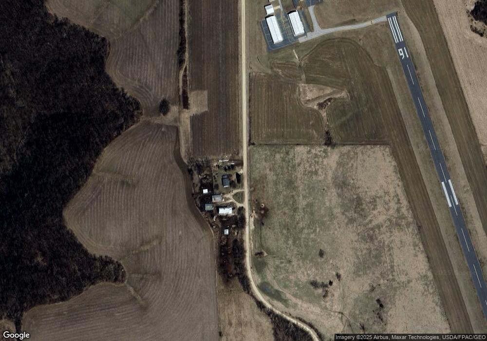
Map
Nearby Homes
- 8 Lots - 1 Price Briella Ave
- 120 W Jessie St
- TBD Minnesota 43
- 302 N Mill St
- 203 S Maple St
- 503 E Rushford Ave
- TBD River St
- 105 N Money Creek St
- 0 Novlan Ave Unit NST6651709
- Tbd County 26
- Tbd State Highway 16
- River Dr
- 3681 Berland Rd
- TBD River Dr
- 34869 Fawn Dr
- 34760 Fawn Dr
- 2740 Christianson Hill Rd
- 402 Hillcrest St E
- 22485 391st Ave
- 208 Elmwood St E