Estimated Value: $216,000 - $436,891
3
Beds
4
Baths
2,240
Sq Ft
$135/Sq Ft
Est. Value
About This Home
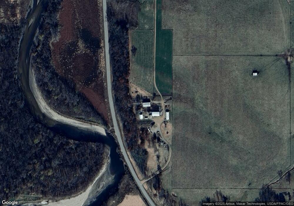
This home is located at 31988 Highway D67, Union, IA 50258 and is currently estimated at $303,223, approximately $135 per square foot. 31988 Highway D67 is a home located in Hardin County with nearby schools including BCLUW Elementary School, BCLUW Middle School, and BCLUW High School.
Create a Home Valuation Report for This Property
The Home Valuation Report is an in-depth analysis detailing your home's value as well as a comparison with similar homes in the area
Home Values in the Area
Average Home Value in this Area
Tax History Compared to Growth
Tax History
| Year | Tax Paid | Tax Assessment Tax Assessment Total Assessment is a certain percentage of the fair market value that is determined by local assessors to be the total taxable value of land and additions on the property. | Land | Improvement |
|---|---|---|---|---|
| 2025 | $3,722 | $316,750 | $43,540 | $273,210 |
| 2024 | $3,338 | $287,620 | $43,540 | $244,080 |
| 2023 | $3,102 | $287,620 | $43,540 | $244,080 |
| 2022 | $2,888 | $227,560 | $43,540 | $184,020 |
| 2021 | $2,888 | $227,560 | $43,540 | $184,020 |
| 2020 | $2,958 | $217,490 | $34,890 | $182,600 |
| 2019 | $2,586 | $217,490 | $0 | $0 |
| 2018 | $2,586 | $197,720 | $0 | $0 |
| 2017 | $2,582 | $179,750 | $0 | $0 |
| 2016 | $2,516 | $179,750 | $0 | $0 |
| 2015 | $2,556 | $179,750 | $0 | $0 |
| 2014 | $2,568 | $179,750 | $0 | $0 |
Source: Public Records
Map
Nearby Homes
- 32031 Y Ave
- 205 Perry St
- 1002 Main St
- 707 Commercial St
- 00 County Highway D56 Hwy
- 0 County Highway D56 Unit NOC6331410
- 01 County Highway D65 Hwy
- 01 County Highway D65
- 28444 County Highway S62
- 28444 County Highway S62
- 28543 Uu Ave
- 1967 140th St
- 0 148th St
- 305 Apple St
- 115 Walnut St
- 1267 113th St
- 27697 270th St
- 1813 Jenny Ln
- 601 N Wilhelm St
- 205 N Wilhelm St