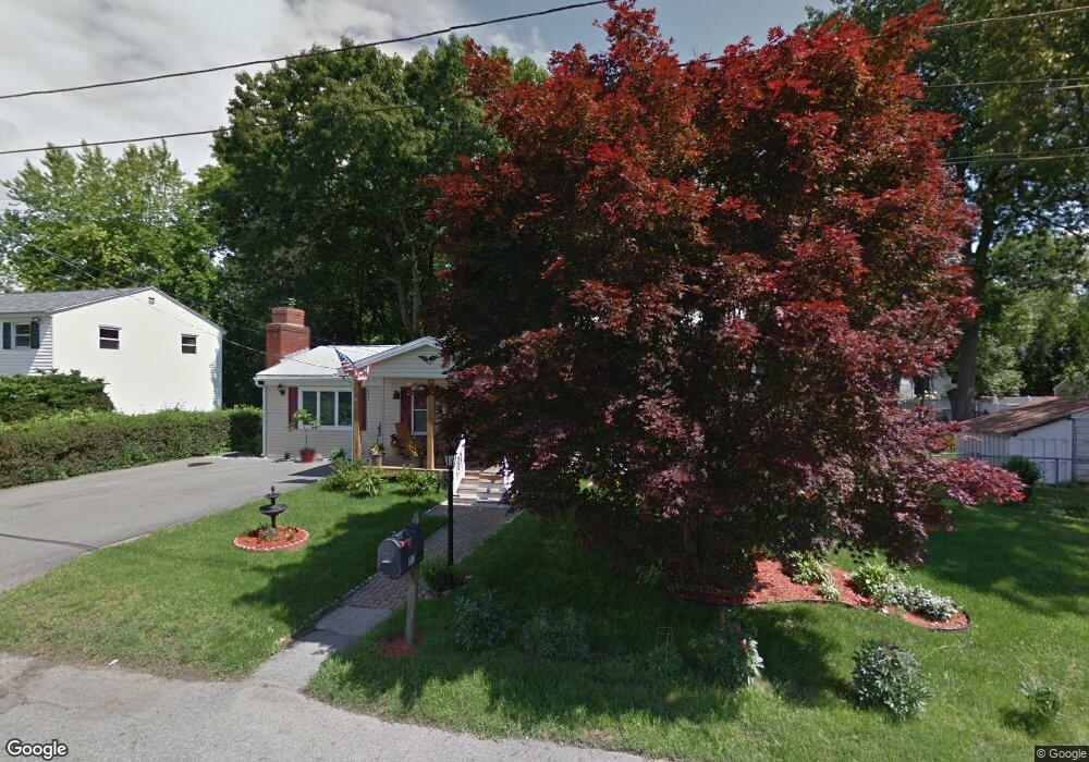
32 Alvin St Methuen, MA 01844
The East End NeighborhoodEstimated Value: $557,000 - $638,000
3
Beds
1
Bath
1,866
Sq Ft
$318/Sq Ft
Est. Value
About This Home
This home is located at 32 Alvin St, Methuen, MA 01844 and is currently estimated at $593,901, approximately $318 per square foot. 32 Alvin St is a home located in Essex County with nearby schools including Timony Grammar School, Methuen High School, and Community Day Charter Public School - Gateway.
Ownership History
Date
Name
Owned For
Owner Type
Purchase Details
Closed on
Dec 28, 2009
Sold by
Mcelhiney Michael S and Mcelhiney Patricia D
Bought by
Mcneil Robert and Mcneil Marie
Current Estimated Value
Home Financials for this Owner
Home Financials are based on the most recent Mortgage that was taken out on this home.
Original Mortgage
$211,105
Outstanding Balance
$138,392
Interest Rate
4.92%
Mortgage Type
Purchase Money Mortgage
Estimated Equity
$455,509
Purchase Details
Closed on
Dec 22, 1989
Sold by
Perillo Bartholomew
Bought by
Mcelhiney Michael
Home Financials for this Owner
Home Financials are based on the most recent Mortgage that was taken out on this home.
Original Mortgage
$144,000
Interest Rate
9.69%
Mortgage Type
Purchase Money Mortgage
Create a Home Valuation Report for This Property
The Home Valuation Report is an in-depth analysis detailing your home's value as well as a comparison with similar homes in the area
Home Values in the Area
Average Home Value in this Area
Purchase History
| Date | Buyer | Sale Price | Title Company |
|---|---|---|---|
| Mcneil Robert | $215,000 | -- | |
| Mcneil Robert | $215,000 | -- | |
| Mcelhiney Michael | $160,000 | -- |
Source: Public Records
Mortgage History
| Date | Status | Borrower | Loan Amount |
|---|---|---|---|
| Open | Mcneil Robert | $211,105 | |
| Closed | Mcelhiney Michael | $211,105 | |
| Previous Owner | Mcelhiney Michael | $120,755 | |
| Previous Owner | Mcelhiney Michael | $131,000 | |
| Previous Owner | Mcelhiney Michael | $144,000 |
Source: Public Records
Tax History Compared to Growth
Tax History
| Year | Tax Paid | Tax Assessment Tax Assessment Total Assessment is a certain percentage of the fair market value that is determined by local assessors to be the total taxable value of land and additions on the property. | Land | Improvement |
|---|---|---|---|---|
| 2025 | $4,759 | $449,800 | $207,600 | $242,200 |
| 2024 | $4,688 | $431,700 | $189,400 | $242,300 |
| 2023 | $4,453 | $380,600 | $168,300 | $212,300 |
| 2022 | $4,189 | $321,000 | $133,300 | $187,700 |
| 2021 | $3,931 | $298,000 | $126,300 | $171,700 |
| 2020 | $3,923 | $291,900 | $126,300 | $165,600 |
| 2019 | $3,721 | $262,200 | $119,200 | $143,000 |
| 2018 | $3,539 | $248,000 | $112,200 | $135,800 |
| 2017 | $3,544 | $241,900 | $112,200 | $129,700 |
| 2016 | $3,320 | $224,200 | $98,200 | $126,000 |
| 2015 | $3,273 | $224,200 | $98,200 | $126,000 |
Source: Public Records
Map
Nearby Homes
- 1 Riverview Blvd Unit 7-101
- 1 Riverview Blvd Unit 212
- 1 Riverview Blvd Unit 1-102
- 1 Riverview Blvd Unit 3-8
- 34 Merrimack St
- 272 E Haverhill St Unit 20
- 6 Aberdeen Rd
- 218 East St
- 106 Leroy Ave
- 13-15 Oak St
- 28 Riverview Blvd
- 29 Meadowbrook Rd
- 21 Oak St Unit E
- 0 E Platt St
- 31 Dexter St
- 71 Mann St
- 68 Wesley St
- 3 Weisner Pkwy
- 9 Scherig St
- 9 Boylston St