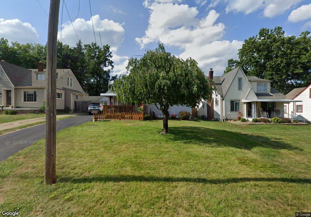
32 Arlene Ave Youngstown, OH 44512
Estimated Value: $102,000 - $127,000
3
Beds
2
Baths
1,088
Sq Ft
$109/Sq Ft
Est. Value
About This Home
This home is located at 32 Arlene Ave, Youngstown, OH 44512 and is currently estimated at $118,161, approximately $108 per square foot. 32 Arlene Ave is a home located in Mahoning County with nearby schools including Boardman Glenwood Junior High School, Boardman High School, and Horizon Science Academy - Youngstown.
Ownership History
Date
Name
Owned For
Owner Type
Purchase Details
Closed on
Jun 29, 2004
Sold by
Blinsky Vivian and Blinsky Charles T
Bought by
Lehman Dennis J and Lehman Michele A
Current Estimated Value
Home Financials for this Owner
Home Financials are based on the most recent Mortgage that was taken out on this home.
Original Mortgage
$66,650
Outstanding Balance
$33,667
Interest Rate
6.39%
Mortgage Type
FHA
Estimated Equity
$84,494
Purchase Details
Closed on
Oct 8, 1985
Bought by
Blinsky Vivian
Create a Home Valuation Report for This Property
The Home Valuation Report is an in-depth analysis detailing your home's value as well as a comparison with similar homes in the area
Home Values in the Area
Average Home Value in this Area
Purchase History
| Date | Buyer | Sale Price | Title Company |
|---|---|---|---|
| Lehman Dennis J | $68,000 | -- | |
| Blinsky Vivian | -- | -- |
Source: Public Records
Mortgage History
| Date | Status | Borrower | Loan Amount |
|---|---|---|---|
| Open | Lehman Dennis J | $66,650 |
Source: Public Records
Tax History Compared to Growth
Tax History
| Year | Tax Paid | Tax Assessment Tax Assessment Total Assessment is a certain percentage of the fair market value that is determined by local assessors to be the total taxable value of land and additions on the property. | Land | Improvement |
|---|---|---|---|---|
| 2024 | $1,096 | $31,060 | $1,890 | $29,170 |
| 2023 | $1,112 | $31,060 | $1,890 | $29,170 |
| 2022 | $1,094 | $25,220 | $1,890 | $23,330 |
| 2021 | $1,095 | $25,220 | $1,890 | $23,330 |
| 2020 | $1,100 | $25,220 | $1,890 | $23,330 |
| 2019 | $1,024 | $22,130 | $1,660 | $20,470 |
| 2018 | $1,429 | $22,130 | $1,660 | $20,470 |
| 2017 | $1,352 | $22,130 | $1,660 | $20,470 |
| 2016 | $1,290 | $19,970 | $1,800 | $18,170 |
| 2015 | $1,264 | $19,970 | $1,800 | $18,170 |
| 2014 | $1,268 | $19,970 | $1,800 | $18,170 |
| 2013 | $1,252 | $19,970 | $1,800 | $18,170 |
Source: Public Records
Map
Nearby Homes
- 44 Gertrude Ave
- 149 Argyle Ave
- 81 Melrose Ave
- 169 Wolcott Dr
- 167 Afton Ave
- 197 Mathews Rd Unit B
- 127 Melrose Ave
- 103 Wildwood Dr
- 235 Wolcott Dr
- 0 Mathews Rd Unit 5038026
- 6001 Applecrest Dr
- 26 Marlindale Ave
- 6511 Pembrooke Place
- 329 Afton Ave
- 175 Homestead Dr
- 96 Aylesboro Ave
- 642 Oakridge Dr
- 242 Oakley Ave
- 28 Terrace Dr
- 6726 Glendale Ave