32 Bantry Ln Brewster, MA 02631
Brewster AreaEstimated Value: $1,385,000 - $2,190,904
About This Home
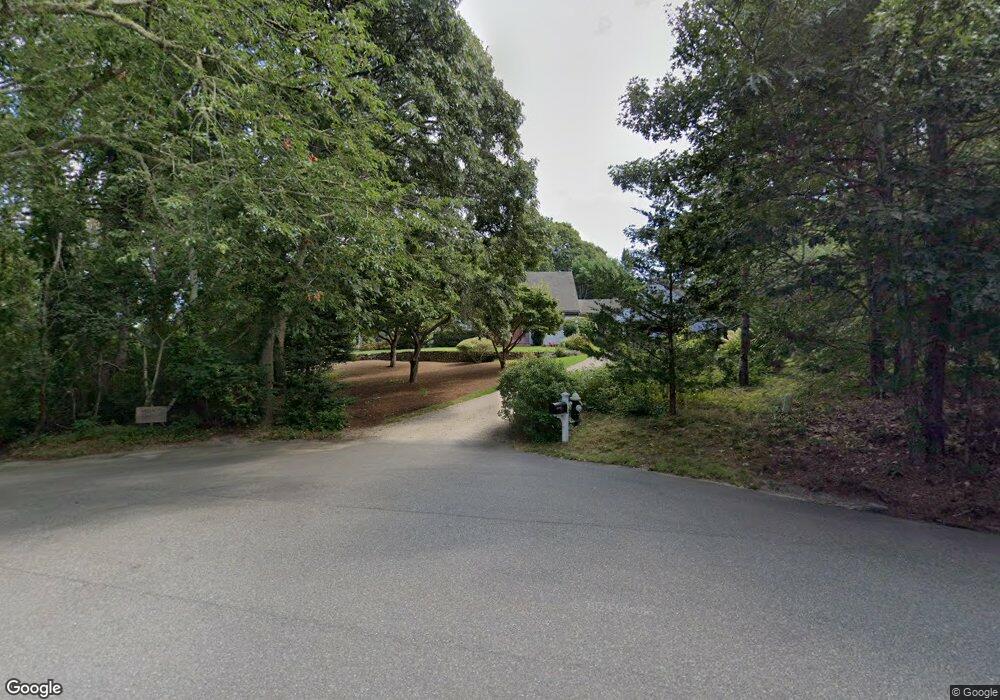
This home is located at 32 Bantry Ln, Brewster, MA 02631 and is currently estimated at $1,856,476, approximately $653 per square foot. 32 Bantry Ln is a home located in Barnstable County with nearby schools including Stony Brook Elementary School, Eddy Elementary School, and Nauset Regional Middle School.
Ownership History
We collect this data history from publicly available records. To have your information removed, we recommend requesting removal directly through your county’s website.
Purchase Details
Purchase Details
Purchase Details
Home Values in the Area
Average Home Value in this Area
Purchase History
We collect this data history from publicly available records. To have your information removed, we recommend requesting removal directly through your county’s website.
| Date | Buyer | Sale Price | Title Company |
|---|---|---|---|
| -- | None Available | ||
| -- | -- | ||
| -- | -- |
Tax History
We collect this data history from publicly available records. To have your information removed, we recommend requesting removal directly through your county’s website.
| Year | Tax Paid | Tax Assessment Tax Assessment Total Assessment is a certain percentage of the fair market value that is determined by local assessors to be the total taxable value of land and additions on the property. | Land | Improvement |
|---|---|---|---|---|
| 2025 | $13,309 | $1,934,400 | $1,184,700 | $749,700 |
| 2024 | $14,086 | $2,068,400 | $1,320,900 | $747,500 |
| 2023 | $11,015 | $1,575,800 | $907,000 | $668,800 |
| 2022 | $10,382 | $1,322,600 | $755,700 | $566,900 |
| 2021 | $9,733 | $1,134,400 | $656,900 | $477,500 |
| 2020 | $9,636 | $1,117,900 | $656,900 | $461,000 |
| 2019 | $9,100 | $1,060,600 | $616,000 | $444,600 |
| 2018 | $8,664 | $1,048,900 | $616,000 | $432,900 |
| 2017 | $8,608 | $1,026,000 | $616,000 | $410,000 |
| 2016 | $8,372 | $993,100 | $604,100 | $389,000 |
| 2015 | $8,029 | $972,000 | $592,100 | $379,900 |
Map
- 20 Bantry Ln
- 17 Barberry Ln
- 2019 Main St
- 149 Cathedral Rd
- 47 Flying Dragon Rd
- 116 Bittersweet Dr
- 10 Park Ln
- 1580 Main St
- 147 Snow Rd
- 84 Alden Dr
- 52 Court Way
- 232 Robbins Hill Rd
- 210 Billington Ln Unit 210
- 58 Billington Ln Unit 58
- 27 Billington Ln Unit 27
- 267 Alden Dr
- 93 Chilton Ln Unit 93
- 130 Spring Ln
- 44 Brier Ln
- 2926 Main St
Ask me questions while you tour the home.