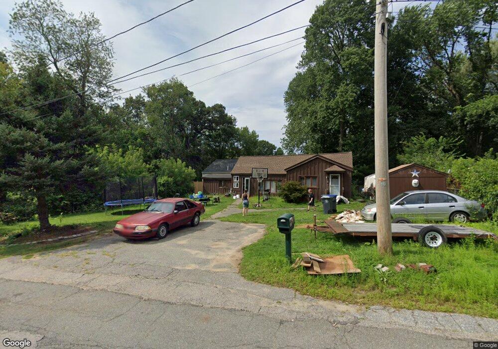
32 Beaumont Rd Methuen, MA 01844
The North End NeighborhoodEstimated Value: $616,000 - $727,000
3
Beds
2
Baths
2,100
Sq Ft
$312/Sq Ft
Est. Value
About This Home
This home is located at 32 Beaumont Rd, Methuen, MA 01844 and is currently estimated at $654,384, approximately $311 per square foot. 32 Beaumont Rd is a home located in Essex County with nearby schools including Methuen High School, Saint Monica School, and Notre Dame Cristo Rey High School.
Ownership History
Date
Name
Owned For
Owner Type
Purchase Details
Closed on
Dec 18, 2002
Sold by
Pitocchelli James G and Pitocchelli Nicole J
Bought by
Mazzone Mark A and Arsaga-Mazzone Maria
Current Estimated Value
Home Financials for this Owner
Home Financials are based on the most recent Mortgage that was taken out on this home.
Original Mortgage
$262,776
Outstanding Balance
$112,225
Interest Rate
6.16%
Mortgage Type
Purchase Money Mortgage
Estimated Equity
$542,159
Purchase Details
Closed on
Apr 7, 1997
Sold by
C-Bass Property Llc
Bought by
Pitocchelli James G
Create a Home Valuation Report for This Property
The Home Valuation Report is an in-depth analysis detailing your home's value as well as a comparison with similar homes in the area
Home Values in the Area
Average Home Value in this Area
Purchase History
| Date | Buyer | Sale Price | Title Company |
|---|---|---|---|
| Mazzone Mark A | $266,900 | -- | |
| Mazzone Mark A | $266,900 | -- | |
| Pitocchelli James G | $74,000 | -- | |
| Pitocchelli James G | $74,000 | -- |
Source: Public Records
Mortgage History
| Date | Status | Borrower | Loan Amount |
|---|---|---|---|
| Open | Pitocchelli James G | $262,776 | |
| Closed | Pitocchelli James G | $262,776 | |
| Previous Owner | Pitocchelli James G | $131,750 |
Source: Public Records
Tax History
| Year | Tax Paid | Tax Assessment Tax Assessment Total Assessment is a certain percentage of the fair market value that is determined by local assessors to be the total taxable value of land and additions on the property. | Land | Improvement |
|---|---|---|---|---|
| 2025 | $5,460 | $516,100 | $209,600 | $306,500 |
| 2024 | $5,539 | $510,000 | $191,200 | $318,800 |
| 2023 | $5,023 | $429,300 | $169,900 | $259,400 |
| 2022 | $4,745 | $363,600 | $141,600 | $222,000 |
| 2021 | $4,506 | $341,600 | $134,500 | $207,100 |
| 2020 | $4,510 | $335,600 | $134,500 | $201,100 |
| 2019 | $4,378 | $308,500 | $120,400 | $188,100 |
| 2018 | $4,272 | $299,400 | $120,400 | $179,000 |
| 2017 | $4,112 | $280,700 | $120,400 | $160,300 |
| 2016 | $3,822 | $258,100 | $113,300 | $144,800 |
| 2015 | $3,654 | $250,300 | $113,300 | $137,000 |
Source: Public Records
Map
Nearby Homes
- 28 Currier Ave
- Lot 108 Garden City Rd
- 64-66 Howe St
- 3 Adams Ave
- 7 Tree Top Way
- 687 Jackson St
- 8 Ridgeview Ave
- 593 Prospect St
- 255 Hampshire St
- 173 Jackson St
- 281 Broadway
- 97 Kenwood Rd
- 396 Oak St
- 123 Lawrence St
- 0 Hampshire Rd
- 128 Pleasant Valley St
- 19 Hampshire Rd Unit 304
- 34 Sable Run Ln
- 21 Hampshire Rd Unit 306
- 21 Hampshire Rd Unit 111
- 33 Huntington Ave
- 26 Beaumont Rd
- 31 Beaumont Rd
- 31 Beaumont Rd
- 27 Huntington Ave
- 27 Huntington Ave Unit 27A
- 27 Beaumont Rd
- 32 Huntington Ave
- 30 Huntington Ave
- 28 Huntington Ave
- 30 Huntington Ave Unit 2
- 3 Berlin St
- 26 Huntington Ave
- 48 Kensington Ave
- 25 Beaumont Rd
- 44 Kensington Ave
- 40 Kensington Ave
- LOT A Penny Ln
- 20 Huntington Ave Unit 22
- 20-22 Huntington Ave
Your Personal Tour Guide
Ask me questions while you tour the home.