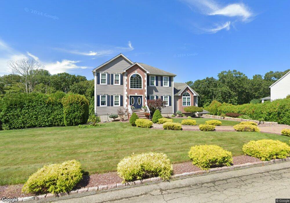
32 Bentley Ln Westport, MA 02790
Estimated Value: $689,000 - $999,000
3
Beds
--
Bath
2,601
Sq Ft
$323/Sq Ft
Est. Value
About This Home
This home is located at 32 Bentley Ln, Westport, MA 02790 and is currently estimated at $840,268, approximately $323 per square foot. 32 Bentley Ln is a home located in Bristol County with nearby schools including Alice A. Macomber Primary School, Westport Elementary School, and Westport Middle-High School.
Ownership History
Date
Name
Owned For
Owner Type
Purchase Details
Closed on
Jul 19, 2012
Sold by
Carreiro Carlos A and Avila Debora J
Bought by
Carreiro Carlos A and Avila-Carreiro Debora J
Current Estimated Value
Purchase Details
Closed on
Sep 29, 2006
Sold by
Krg Rt and Kfoury Robert G
Bought by
Carreiro Carlos A and Avila Debora J
Home Financials for this Owner
Home Financials are based on the most recent Mortgage that was taken out on this home.
Original Mortgage
$375,000
Interest Rate
6.52%
Mortgage Type
Purchase Money Mortgage
Create a Home Valuation Report for This Property
The Home Valuation Report is an in-depth analysis detailing your home's value as well as a comparison with similar homes in the area
Home Values in the Area
Average Home Value in this Area
Purchase History
| Date | Buyer | Sale Price | Title Company |
|---|---|---|---|
| Carreiro Carlos A | -- | -- | |
| Carreiro Carlos A | $474,700 | -- |
Source: Public Records
Mortgage History
| Date | Status | Borrower | Loan Amount |
|---|---|---|---|
| Previous Owner | Carreiro Carlos A | $363,000 | |
| Previous Owner | Carreiro Carlos A | $375,000 |
Source: Public Records
Tax History Compared to Growth
Tax History
| Year | Tax Paid | Tax Assessment Tax Assessment Total Assessment is a certain percentage of the fair market value that is determined by local assessors to be the total taxable value of land and additions on the property. | Land | Improvement |
|---|---|---|---|---|
| 2025 | $4,891 | $656,500 | $264,500 | $392,000 |
| 2024 | $4,886 | $632,100 | $249,000 | $383,100 |
| 2023 | $4,885 | $598,600 | $239,700 | $358,900 |
| 2022 | $4,665 | $557,400 | $239,700 | $317,700 |
| 2021 | $3,419 | $541,200 | $222,800 | $318,400 |
| 2020 | $3,349 | $534,500 | $216,100 | $318,400 |
| 2019 | $4,388 | $530,600 | $216,100 | $314,500 |
| 2018 | $3,192 | $529,900 | $220,100 | $309,800 |
| 2017 | $4,250 | $533,200 | $220,100 | $313,100 |
| 2016 | $3,956 | $500,100 | $220,100 | $280,000 |
| 2015 | $3,904 | $492,300 | $220,100 | $272,200 |
Source: Public Records
Map
Nearby Homes
- 1276 Old Fall River Rd
- 3 Diane Way
- 23 Donna St
- 2 Donna Marie Dr
- 80 Gifford Rd
- 116 Gifford Rd
- 15 S Breault St
- 16 S Berryman St
- 100 D Dr
- 128 Old Bedford Rd
- 6 Beaulieu St
- 25 Beaulieu St
- 56 Lakeside Ave
- 55 Lakeside Ave
- 15 Stonewall Ave
- 818 Reed Rd
- 380 Gifford Rd
- 1525 N Hixville Rd
- 92 Benoit St
- 2-1 N Hixville Rd