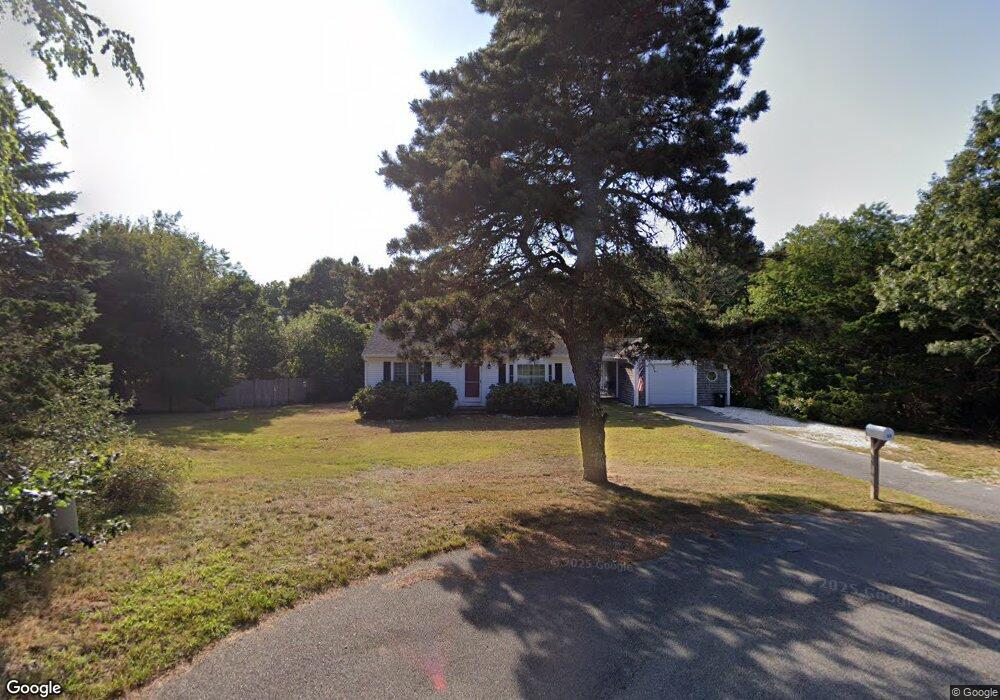
32 Captain William Arthur Rd Brewster, MA 02631
Estimated Value: $545,000 - $709,000
2
Beds
1
Bath
936
Sq Ft
$656/Sq Ft
Est. Value
About This Home
This home is located at 32 Captain William Arthur Rd, Brewster, MA 02631 and is currently estimated at $614,016, approximately $656 per square foot. 32 Captain William Arthur Rd is a home located in Barnstable County with nearby schools including Stony Brook Elementary School, Eddy Elementary School, and Nauset Regional Middle School.
Ownership History
Date
Name
Owned For
Owner Type
Purchase Details
Closed on
Apr 1, 2016
Sold by
Ouellette Leo James R
Bought by
Ouellette Patricia Ann
Current Estimated Value
Purchase Details
Closed on
Sep 17, 1992
Sold by
Stockwell Jean B
Bought by
Ouellette L James and Ouellette Patricia
Create a Home Valuation Report for This Property
The Home Valuation Report is an in-depth analysis detailing your home's value as well as a comparison with similar homes in the area
Home Values in the Area
Average Home Value in this Area
Purchase History
| Date | Buyer | Sale Price | Title Company |
|---|---|---|---|
| Ouellette Patricia Ann | -- | -- | |
| Ouellette L James | $100,000 | -- |
Source: Public Records
Tax History
| Year | Tax Paid | Tax Assessment Tax Assessment Total Assessment is a certain percentage of the fair market value that is determined by local assessors to be the total taxable value of land and additions on the property. | Land | Improvement |
|---|---|---|---|---|
| 2025 | $3,764 | $547,100 | $326,000 | $221,100 |
| 2024 | $3,516 | $516,300 | $307,500 | $208,800 |
| 2023 | $3,243 | $463,900 | $274,500 | $189,400 |
| 2022 | $3,021 | $384,900 | $228,700 | $156,200 |
| 2021 | $2,891 | $336,900 | $198,800 | $138,100 |
| 2020 | $2,848 | $330,400 | $198,800 | $131,600 |
| 2019 | $2,745 | $319,900 | $191,200 | $128,700 |
| 2018 | $2,600 | $314,800 | $191,200 | $123,600 |
| 2017 | $2,518 | $300,100 | $191,200 | $108,900 |
| 2016 | $2,586 | $306,800 | $200,000 | $106,800 |
| 2015 | $2,492 | $301,700 | $196,000 | $105,700 |
Source: Public Records
Map
Nearby Homes
- 958 Long Pond Rd
- 184 Barons Way
- 235 Old Chatham Rd
- 337 Jonathans Way
- 61 Sheffield Rd
- 52 Eaton Ln Unit (52)
- 274 Commons Way
- 127 Eaton Ln Unit 127
- 0 Old Chatham Rd
- 204 Eaton Ln Unit 204
- 63 Trevor Ln Unit 63
- 103 Trevor Ln Unit 103
- 58 Aunt Molls Ridge Rd
- 737 Thousand Oaks Dr
- 60 Fletcher Ln Unit H
- 16 Commons Way
- 100 Fletcher Ln Unit E
- 0 Commons Way Unit 22504099
- 14 Howland Cir Unit 14
- 87 N Pond Dr
- 49 Howes Rd
- 59 Howes Rd
- 41 Howes Rd
- 79 Quail Hollow Rd
- 69 Howes Rd
- 23 Captain William Arthur Rd
- 0 Howes Rd
- 35 Howes Rd
- 381 Sheep Pond Dr
- 389 Sheep Pond Dr
- 17 Captain William Arthur Rd
- 373 Sheep Pond Dr
- 395 Sheep Pond Dr
- 57 Quail Hollow Rd
- 56 Howes Rd
- 46 Howes Rd
- 76 Quail Hollow Rd
- 21 Howes Rd
- 36 Howes Rd
- 0 Sheep Pond Dr
Your Personal Tour Guide
Ask me questions while you tour the home.