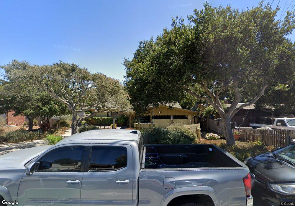
32 Carlton Dr Monterey, CA 93940
Estimated Value: $927,000 - $1,192,000
4
Beds
3
Baths
2,070
Sq Ft
$516/Sq Ft
Est. Value
About This Home
This home is located at 32 Carlton Dr, Monterey, CA 93940 and is currently estimated at $1,067,932, approximately $515 per square foot. 32 Carlton Dr is a home located in Monterey County with nearby schools including Foothill Elementary School, Monte Vista Elementary School, and Monterey High School.
Ownership History
Date
Name
Owned For
Owner Type
Purchase Details
Closed on
Feb 3, 2011
Sold by
Mallery Michael D and Barbara M Mallery Admin Trust
Bought by
Mallery Michael D and Michael D Mallery Living Trust
Current Estimated Value
Purchase Details
Closed on
Aug 20, 2002
Sold by
Mallery Barbara M
Bought by
Mallery Barbara M and Barbara M Mallery Living Trust
Purchase Details
Closed on
Nov 22, 1999
Sold by
Mallery Barbara M
Bought by
Mallery Barbara M
Create a Home Valuation Report for This Property
The Home Valuation Report is an in-depth analysis detailing your home's value as well as a comparison with similar homes in the area
Purchase History
| Date | Buyer | Sale Price | Title Company |
|---|---|---|---|
| Mallery Michael D | $415,000 | None Available | |
| Mallery Barbara M | -- | -- | |
| Mallery Barbara M | -- | -- |
Source: Public Records
Tax History
| Year | Tax Paid | Tax Assessment Tax Assessment Total Assessment is a certain percentage of the fair market value that is determined by local assessors to be the total taxable value of land and additions on the property. | Land | Improvement |
|---|---|---|---|---|
| 2025 | $1,022 | $99,757 | $21,182 | $78,575 |
| 2024 | $1,022 | $97,802 | $20,767 | $77,035 |
| 2023 | $1,105 | $95,885 | $20,360 | $75,525 |
| 2022 | $1,090 | $94,006 | $19,961 | $74,045 |
| 2021 | $1,074 | $92,164 | $19,570 | $72,594 |
| 2020 | $1,037 | $91,220 | $19,370 | $71,850 |
| 2019 | $1,077 | $89,433 | $18,991 | $70,442 |
| 2018 | $1,039 | $87,680 | $18,619 | $69,061 |
| 2017 | $970 | $85,961 | $18,254 | $67,707 |
| 2016 | $953 | $84,277 | $17,897 | $66,380 |
| 2015 | $939 | $83,012 | $17,629 | $65,383 |
| 2014 | $924 | $81,387 | $17,284 | $64,103 |
Source: Public Records
Map
Nearby Homes
- 17 Los Encinos Dr
- 1325 Kimball Ave
- 112 Quail Run Ct
- 121 Quail Run Ct
- 1516 Hilby Ave
- 1184 Barbara Ct
- 1148 San Lucas St
- 521 Quail Run Ct
- 810 Altura Place
- 1125 Kimball Ave
- 1233 Hilby Ave
- 1313 Harding St
- 1330 Flores St
- 1 Serrano Way
- 1224 Trinity Ave Unit 14
- 1484 Sonoma Ave
- 1364 Skyview Dr
- 1212 Trinity Ave Unit 10
- 1282 Hamilton Ave
- 1186 Trinity Ave
Your Personal Tour Guide
Ask me questions while you tour the home.